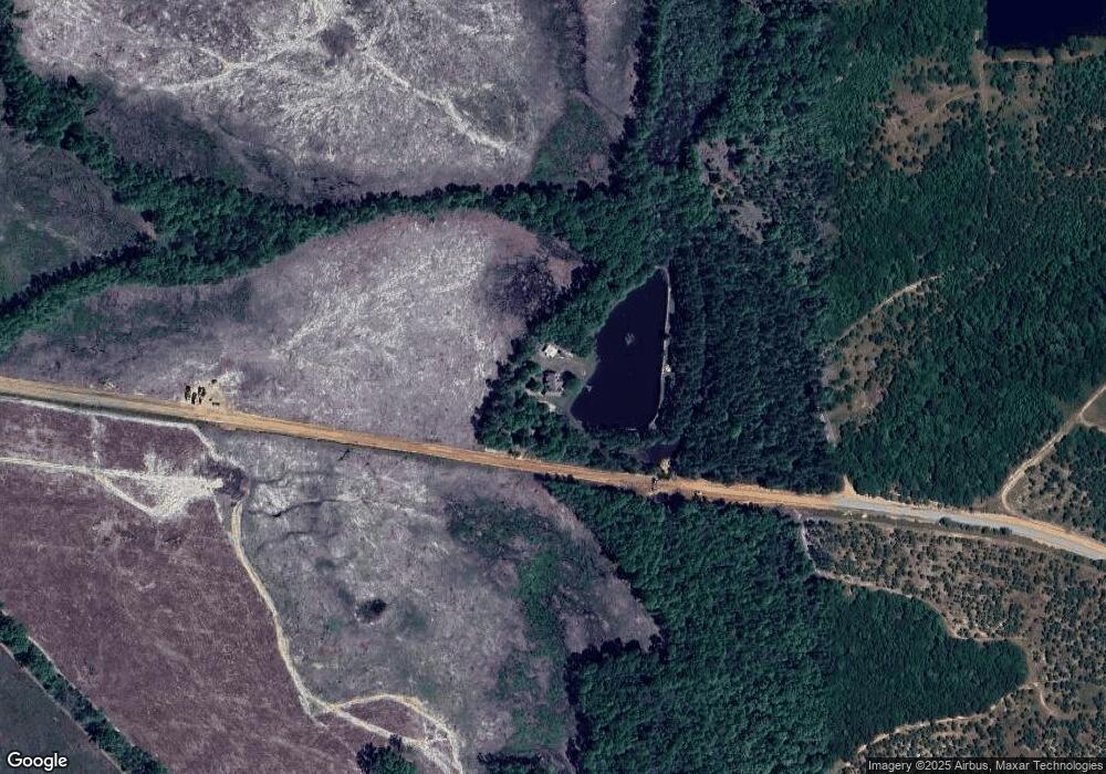
4889 Wpa Rd Chauncey, GA 31011
Estimated Value: $205,000 - $317,000
--
Bed
--
Bath
1,748
Sq Ft
$156/Sq Ft
Est. Value
About This Home
This home is located at 4889 Wpa Rd, Chauncey, GA 31011 and is currently estimated at $273,375, approximately $156 per square foot. 4889 Wpa Rd is a home with nearby schools including Dodge County High School.
Ownership History
Date
Name
Owned For
Owner Type
Purchase Details
Closed on
Nov 25, 2013
Sold by
Ferlanti Louise M
Bought by
Red Thunder Properties Llc
Current Estimated Value
Purchase Details
Closed on
Nov 6, 2009
Sold by
Ferlanti Lou
Bought by
Ferlanti Louis
Purchase Details
Closed on
Oct 12, 2007
Sold by
Mcdermitt Dahl
Bought by
Ferlanti Lou
Purchase Details
Closed on
Dec 16, 2002
Sold by
Mortgage Electronic
Bought by
Mcdermitt Dahl and Mcdermitt Melissa
Purchase Details
Closed on
Aug 18, 2000
Sold by
Skipper Mickey D Etal
Bought by
Mcdermitt Dahl and Mcdermitt Melissa
Create a Home Valuation Report for This Property
The Home Valuation Report is an in-depth analysis detailing your home's value as well as a comparison with similar homes in the area
Home Values in the Area
Average Home Value in this Area
Purchase History
| Date | Buyer | Sale Price | Title Company |
|---|---|---|---|
| Red Thunder Properties Llc | $115,000 | -- | |
| Ferlanti Louis | -- | -- | |
| Ferlanti Lou | $65,000 | -- | |
| Mcdermitt Dahl | -- | -- | |
| Mcdermitt Dahl | $7,400 | -- | |
| Skipper Mickey D Etal | -- | -- |
Source: Public Records
Tax History Compared to Growth
Tax History
| Year | Tax Paid | Tax Assessment Tax Assessment Total Assessment is a certain percentage of the fair market value that is determined by local assessors to be the total taxable value of land and additions on the property. | Land | Improvement |
|---|---|---|---|---|
| 2025 | $2,339 | $94,503 | $13,954 | $80,549 |
| 2024 | $2,126 | $81,783 | $13,954 | $67,829 |
| 2023 | $2,126 | $81,783 | $13,954 | $67,829 |
| 2022 | $1,939 | $75,341 | $9,115 | $66,226 |
| 2021 | $1,929 | $74,699 | $9,115 | $65,584 |
| 2020 | $1,919 | $73,180 | $7,596 | $65,584 |
| 2019 | $1,576 | $59,400 | $7,596 | $51,804 |
| 2018 | $1,415 | $55,349 | $7,596 | $47,753 |
| 2017 | $1,415 | $55,349 | $7,596 | $47,753 |
| 2016 | $1,442 | $56,435 | $7,596 | $48,839 |
| 2015 | -- | $56,434 | $7,596 | $48,839 |
| 2014 | -- | $56,322 | $3,950 | $52,371 |
| 2013 | -- | $9,114 | $9,114 | $0 |
Source: Public Records
Map
Nearby Homes
- 2628 Chauncey Dublin Hwy
- 401 Sanders Cemetery Rd
- 6689 Mcrae Hwy
- LOT 5 Bowen Dr
- 0 Mcrae Hwy
- 74 Durham St
- 3822 New Bethel Church Rd
- 264 Ridley Rd
- 0 Lakeside Dr Unit 10642966
- 9 June Ln
- 781 Jordan Brown Rd
- 0 Smith Rd
- 2441 Guy Weatherly Rd
- 11 Stover White Dr
- 0 Concord Dr Unit 10542376
- Lot 23 the River Landing Rd
- Lot 20 the River Landing Rd
- Lot 21 the River Landing Rd
- Lot 19 the River Landing Rd
- Lot 22 the River Landing Rd
