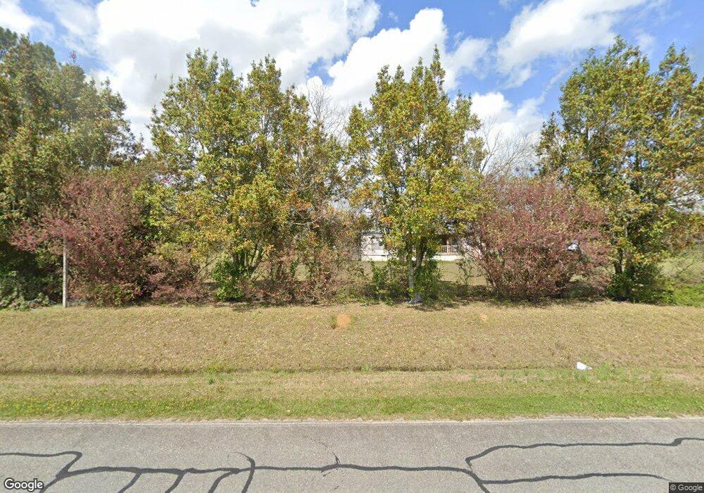
489 Alton Rd Moultrie, GA 31788
Estimated Value: $222,000 - $429,275
--
Bed
1
Bath
1,072
Sq Ft
$293/Sq Ft
Est. Value
About This Home
This home is located at 489 Alton Rd, Moultrie, GA 31788 and is currently estimated at $314,092, approximately $292 per square foot. 489 Alton Rd is a home located in Colquitt County with nearby schools including Odom Elementary School, Willie J. Williams Middle School, and C.A. Gray Junior High School.
Ownership History
Date
Name
Owned For
Owner Type
Purchase Details
Closed on
Jan 23, 2020
Sold by
May Rosemary S
Bought by
Schwalls Duglas Oran and Schwalls Laura Ashley
Current Estimated Value
Purchase Details
Closed on
Nov 12, 2019
Sold by
May Rosemary S
Bought by
Wiard Bobby and Wiard Linda
Purchase Details
Closed on
Sep 20, 2013
Sold by
May Rosemary S
Bought by
May Dwight H and May Bonnie M
Purchase Details
Closed on
Aug 22, 1994
Bought by
May W O Life Est
Purchase Details
Closed on
Jul 3, 1941
Bought by
May W O
Create a Home Valuation Report for This Property
The Home Valuation Report is an in-depth analysis detailing your home's value as well as a comparison with similar homes in the area
Home Values in the Area
Average Home Value in this Area
Purchase History
| Date | Buyer | Sale Price | Title Company |
|---|---|---|---|
| Schwalls Duglas Oran | $375,000 | -- | |
| Wiard Bobby | $12,000 | -- | |
| May Dwight H | -- | -- | |
| May W O Life Est | $65,000 | -- | |
| May William O | $65,000 | -- | |
| May W O | -- | -- |
Source: Public Records
Tax History Compared to Growth
Tax History
| Year | Tax Paid | Tax Assessment Tax Assessment Total Assessment is a certain percentage of the fair market value that is determined by local assessors to be the total taxable value of land and additions on the property. | Land | Improvement |
|---|---|---|---|---|
| 2024 | $2,178 | $104,026 | $88,843 | $15,183 |
| 2023 | $2,194 | $98,777 | $88,843 | $9,934 |
| 2022 | $2,349 | $98,647 | $88,843 | $9,804 |
| 2021 | $1,982 | $87,138 | $77,069 | $10,069 |
| 2020 | $2,141 | $86,625 | $77,069 | $9,556 |
| 2019 | $2,545 | $92,586 | $80,476 | $12,110 |
| 2018 | $2,368 | $92,586 | $80,476 | $12,110 |
| 2017 | $2,471 | $90,797 | $78,687 | $12,110 |
| 2016 | $2,504 | $90,797 | $78,687 | $12,110 |
| 2015 | $2,527 | $90,797 | $78,687 | $12,110 |
| 2014 | $2,480 | $90,797 | $78,687 | $12,110 |
| 2013 | -- | $98,358 | $86,248 | $12,110 |
Source: Public Records
Map
Nearby Homes
- 5940 Georgia 37
- 3332 Ellenton Norman Park Rd
- 1114 Cannon Rd
- 0 Murray McCranie Rd Unit 25079284
- 0 Murray McCranie Rd Unit 11586683
- 277 Indian Creek Subdivision
- 1620 R L Sears Rd
- 2262 Sardis Church Rd
- 0 Sardis Church Rd
- 0 Mark Orton Ln
- 292 Robin Ln
- 0 Sleepy Bear Rd
- 1396 Livingston Bridge Rd
- 0 Old Norman Park Rd
- 1113 Georgia 133
- 157 Quail Ridge
- 5808 Georgia 133
- 2332 Georgia 37
- 000 U S Highway 319
- 000 Star Cir