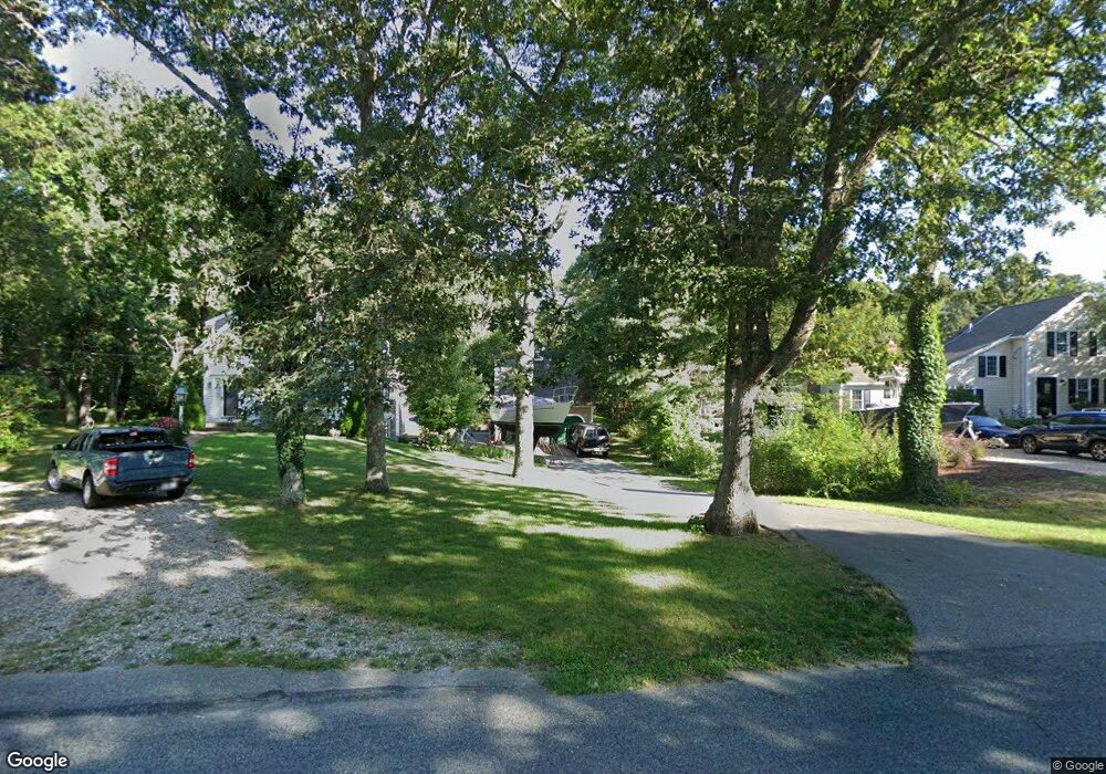
489 Center St Dennis Port, MA 02639
Dennis Port NeighborhoodEstimated Value: $651,000 - $735,695
3
Beds
2
Baths
1,493
Sq Ft
$465/Sq Ft
Est. Value
About This Home
This home is located at 489 Center St, Dennis Port, MA 02639 and is currently estimated at $694,424, approximately $465 per square foot. 489 Center St is a home located in Barnstable County with nearby schools including Dennis-Yarmouth Regional High School and St. Pius X. School.
Ownership History
Date
Name
Owned For
Owner Type
Purchase Details
Closed on
Jul 22, 2004
Sold by
Ward 3Rd James J and Ward Natalie M
Bought by
Ward 3Rd James J
Current Estimated Value
Home Financials for this Owner
Home Financials are based on the most recent Mortgage that was taken out on this home.
Original Mortgage
$225,000
Outstanding Balance
$112,847
Interest Rate
6.28%
Estimated Equity
$581,577
Purchase Details
Closed on
Dec 29, 1988
Sold by
Rechlin Thomas F
Bought by
Ward James J
Home Financials for this Owner
Home Financials are based on the most recent Mortgage that was taken out on this home.
Original Mortgage
$121,900
Interest Rate
10.26%
Mortgage Type
Purchase Money Mortgage
Create a Home Valuation Report for This Property
The Home Valuation Report is an in-depth analysis detailing your home's value as well as a comparison with similar homes in the area
Home Values in the Area
Average Home Value in this Area
Purchase History
| Date | Buyer | Sale Price | Title Company |
|---|---|---|---|
| Ward 3Rd James J | -- | -- | |
| Ward James J | $135,000 | -- |
Source: Public Records
Mortgage History
| Date | Status | Borrower | Loan Amount |
|---|---|---|---|
| Open | Ward 3Rd James J | $225,000 | |
| Previous Owner | Ward James J | $117,500 | |
| Previous Owner | Ward James J | $121,900 |
Source: Public Records
Tax History Compared to Growth
Tax History
| Year | Tax Paid | Tax Assessment Tax Assessment Total Assessment is a certain percentage of the fair market value that is determined by local assessors to be the total taxable value of land and additions on the property. | Land | Improvement |
|---|---|---|---|---|
| 2025 | $2,771 | $640,000 | $159,700 | $480,300 |
| 2024 | $2,686 | $611,800 | $162,600 | $449,200 |
| 2023 | $2,602 | $557,200 | $147,800 | $409,400 |
| 2022 | $2,546 | $454,600 | $147,900 | $306,700 |
| 2021 | $2,398 | $397,700 | $130,500 | $267,200 |
| 2020 | $5,837 | $383,100 | $130,500 | $252,600 |
| 2019 | $5,752 | $355,200 | $128,000 | $227,200 |
| 2018 | $0 | $339,800 | $121,800 | $218,000 |
| 2017 | $0 | $342,700 | $121,800 | $220,900 |
| 2016 | $2,133 | $326,600 | $135,400 | $191,200 |
| 2015 | $2,090 | $326,600 | $135,400 | $191,200 |
| 2014 | $1,867 | $294,000 | $108,300 | $185,700 |
Source: Public Records
Map
Nearby Homes
- 537 Depot St
- 360 Center St
- 116 Searsville Rd
- 171 Searsville Rd
- 29 Highland St
- 11 Lane Rd
- 20 Aunt Debbys Rd
- 24 Indian Trail
- 91 Depot Rd W
- 78 Upper County Rd Unit A&B
- 78 Upper County Rd
- 3 Jennifer Ln
- 31 Duck Pond Rd
- 37 Cyprus Rd
- 9 Country Ln
- 47 Telegraph Rd Unit 1
- 141 Division St
- 141 Division St
- 37 Cyprus Rd
- 401 Main St Unit 201