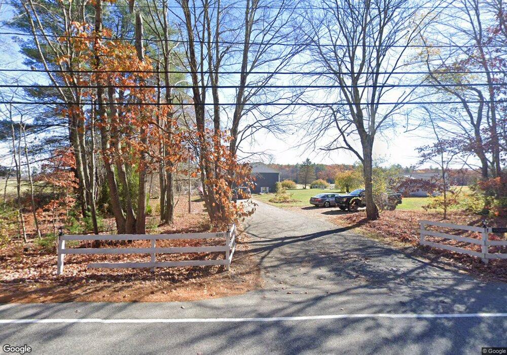
489 Cole Rd Kennebunk, ME 04043
Estimated Value: $536,000 - $886,000
5
Beds
3
Baths
1,338
Sq Ft
$526/Sq Ft
Est. Value
About This Home
This home is located at 489 Cole Rd, Kennebunk, ME 04043 and is currently estimated at $703,585, approximately $525 per square foot. 489 Cole Rd is a home located in York County with nearby schools including Kennebunk High School.
Create a Home Valuation Report for This Property
The Home Valuation Report is an in-depth analysis detailing your home's value as well as a comparison with similar homes in the area
Home Values in the Area
Average Home Value in this Area
Tax History
| Year | Tax Paid | Tax Assessment Tax Assessment Total Assessment is a certain percentage of the fair market value that is determined by local assessors to be the total taxable value of land and additions on the property. | Land | Improvement |
|---|---|---|---|---|
| 2024 | $6,587 | $388,600 | $89,800 | $298,800 |
| 2023 | $4,634 | $288,700 | $89,800 | $198,900 |
| 2022 | $4,215 | $288,700 | $89,800 | $198,900 |
| 2021 | $3,758 | $288,700 | $89,800 | $198,900 |
| 2020 | $3,731 | $288,700 | $89,800 | $198,900 |
| 2019 | $3,970 | $288,700 | $89,800 | $198,900 |
| 2018 | $0 | $216,500 | $67,300 | $149,200 |
| 2017 | $0 | $216,500 | $67,300 | $149,200 |
| 2016 | $3,442 | $216,500 | $67,300 | $149,200 |
| 2015 | $3,167 | $216,500 | $67,300 | $149,200 |
| 2014 | $3,084 | $216,500 | $67,300 | $149,200 |
Source: Public Records
Map
Nearby Homes
- Lot# 0 Alewive Rd
- 32 Conifer Dr
- 214 Thompson Rd
- 9 Carriedale Ln
- 149 Duke Ln
- 3 Gerald Ln
- 15 Kimball Ln
- 19 Day Rd
- 1 Robinson Way Unit B75
- 25 Sunset Ln
- 32 Sunset Ln
- 31 Sunset Ln
- 39 Leisure Dr
- 18 Cascade Cir Unit 12
- 10 Tranquility Dr Unit 16
- 5 Tranquility Dr Unit 28
- 15 Cascade Cir Unit 18
- 72 Golden Era Cir
- 33 Cascade Cir Unit 29
- 24-4,25-10 Chapman Ln
- 482 Cole Rd
- 970 Alewive Rd
- 452 Cole Rd
- 14 Walker Rd
- 435 Cole Rd
- 00 Walker
- 2 Walker Rd
- 2 Walker Heights Rd
- Map 3 Lot Walker Rd
- Lot 1 - Ma Walker Rd
- 8 Walker Rd
- 1 Walker Heights Rd
- 980 Alewive Rd
- 14 Walker (Part Of) Rd
- 18 Walker Rd
- 4 Walker Heights Rd
- 414 Cole Rd
- 3 Walker Heights Rd
- 17 Walker Rd
- 987 Alewive Rd
Your Personal Tour Guide
Ask me questions while you tour the home.