489 County Road 579 Milford, NJ 08848
Estimated Value: $668,351 - $848,000
--
Bed
--
Bath
2,912
Sq Ft
$257/Sq Ft
Est. Value
About This Home
This home is located at 489 County Road 579, Milford, NJ 08848 and is currently estimated at $749,088, approximately $257 per square foot. 489 County Road 579 is a home located in Hunterdon County with nearby schools including Union Township Elementary School, Union Township Middle School, and North Hunterdon High School.
Ownership History
Date
Name
Owned For
Owner Type
Purchase Details
Closed on
May 15, 2003
Sold by
Little Robert S
Bought by
Rogers Kenneth F and Rogers Christine Ziobro
Current Estimated Value
Home Financials for this Owner
Home Financials are based on the most recent Mortgage that was taken out on this home.
Original Mortgage
$250,000
Outstanding Balance
$108,971
Interest Rate
5.83%
Estimated Equity
$640,117
Purchase Details
Closed on
Jul 14, 1995
Sold by
Little Robert S and Little Rachel R
Bought by
Little Robert S and Little Rachel R
Create a Home Valuation Report for This Property
The Home Valuation Report is an in-depth analysis detailing your home's value as well as a comparison with similar homes in the area
Home Values in the Area
Average Home Value in this Area
Purchase History
| Date | Buyer | Sale Price | Title Company |
|---|---|---|---|
| Rogers Kenneth F | $422,060 | -- | |
| Little Robert S | -- | -- |
Source: Public Records
Mortgage History
| Date | Status | Borrower | Loan Amount |
|---|---|---|---|
| Open | Rogers Kenneth F | $250,000 |
Source: Public Records
Tax History Compared to Growth
Tax History
| Year | Tax Paid | Tax Assessment Tax Assessment Total Assessment is a certain percentage of the fair market value that is determined by local assessors to be the total taxable value of land and additions on the property. | Land | Improvement |
|---|---|---|---|---|
| 2025 | $10,993 | $518,800 | $135,700 | $383,100 |
| 2024 | $11,056 | $518,800 | $135,700 | $383,100 |
| 2023 | $11,056 | $518,800 | $135,700 | $383,100 |
| 2022 | $10,330 | $336,800 | $101,000 | $235,800 |
| 2021 | $9,626 | $336,800 | $101,000 | $235,800 |
| 2020 | $9,875 | $336,800 | $101,000 | $235,800 |
| 2019 | $9,626 | $336,800 | $101,000 | $235,800 |
| 2018 | $7,735 | $282,500 | $101,000 | $181,500 |
| 2017 | $7,478 | $282,500 | $101,000 | $181,500 |
| 2016 | $7,348 | $282,500 | $101,000 | $181,500 |
| 2015 | $7,444 | $282,500 | $101,000 | $181,500 |
| 2014 | $7,486 | $282,500 | $101,000 | $181,500 |
Source: Public Records
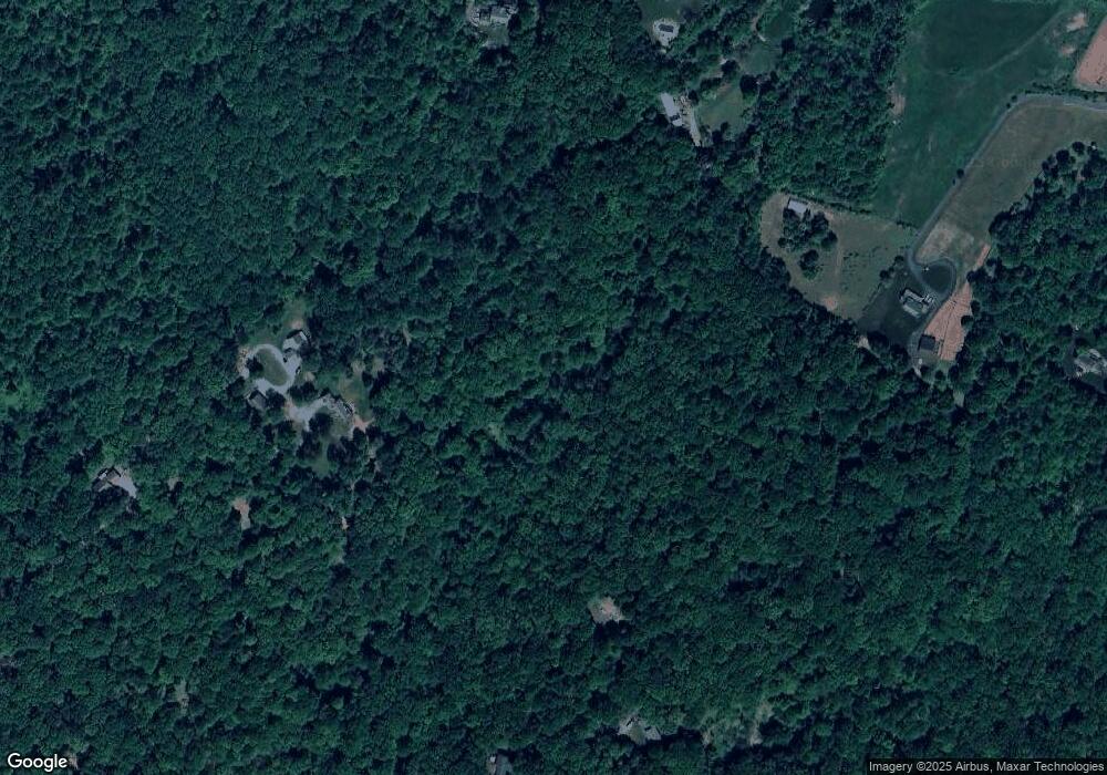
Map
Nearby Homes
- N/A Gravel Hill Rd
- 484 Route614
- 0 Baptist Church Rd
- 69 Baptist Church Rd
- 584 County Road 614
- 420 Bellwood Ave
- 140 Driftway E
- 92 Country Acres Dr
- 634 County Road 579
- 18 Bridle Path Dr
- 214 Woolf Rd
- 745 County Road 625
- 00 Rr 579
- 82 Hickory Corner Rd
- 13 Old Schoolhouse Rd
- 97 Hartpence Rd
- 759 County Road 625
- 601 Fox Farm Rd
- 368 Strotz Rd
- 58 Oakwood Blvd
- 487 County Road 579
- 507 County Road 579
- 12 Williamson Ln
- 50 Springhouse Ln
- 14 Williamson Ln
- 485 County Road 579
- 535 County Road 579
- 505 County Road 579
- 40 Springhouse Ln
- 16 Williamson Ln
- 16 Stonehaven Ln
- 475 County Road 579
- 481 County Road 579
- 25 Stonehaven Ln
- 473 County Road 579
- 488 County Road 579
- 20 Springhouse Ln
- 497 County Road 579
- 18 Williamson Ln
- 18 Williamson Ln