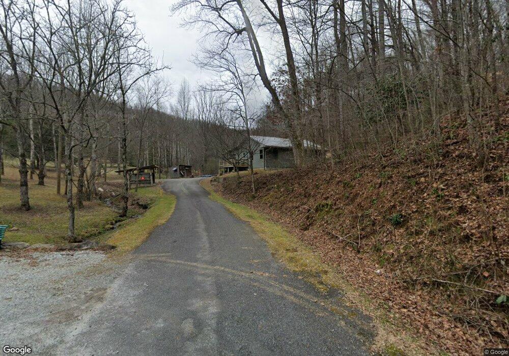
489 Dobson Rd Franklin, NC 28734
Estimated Value: $337,000 - $492,000
2
Beds
1
Bath
1,140
Sq Ft
$346/Sq Ft
Est. Value
About This Home
This home is located at 489 Dobson Rd, Franklin, NC 28734 and is currently estimated at $394,011, approximately $345 per square foot. 489 Dobson Rd is a home located in Macon County with nearby schools including Cartoogechaye Elementary School, Mountain View Intermediate School, and Macon Middle School.
Ownership History
Date
Name
Owned For
Owner Type
Purchase Details
Closed on
May 12, 2017
Sold by
Ketting Neil Henry and Ketting Ilona Ann
Bought by
Clouse Hurst Derrick Allen and Clouse Hurst Rhonda
Current Estimated Value
Home Financials for this Owner
Home Financials are based on the most recent Mortgage that was taken out on this home.
Original Mortgage
$53,125
Outstanding Balance
$44,022
Interest Rate
3.97%
Mortgage Type
New Conventional
Estimated Equity
$349,989
Purchase Details
Closed on
Feb 3, 1989
Sold by
Dolovacky Joseph P
Bought by
Ketting Neil Henry
Create a Home Valuation Report for This Property
The Home Valuation Report is an in-depth analysis detailing your home's value as well as a comparison with similar homes in the area
Home Values in the Area
Average Home Value in this Area
Purchase History
| Date | Buyer | Sale Price | Title Company |
|---|---|---|---|
| Clouse Hurst Derrick Allen | $62,500 | None Available | |
| Ketting Neil Henry | $38,000 | -- |
Source: Public Records
Mortgage History
| Date | Status | Borrower | Loan Amount |
|---|---|---|---|
| Open | Clouse Hurst Derrick Allen | $53,125 |
Source: Public Records
Tax History
| Year | Tax Paid | Tax Assessment Tax Assessment Total Assessment is a certain percentage of the fair market value that is determined by local assessors to be the total taxable value of land and additions on the property. | Land | Improvement |
|---|---|---|---|---|
| 2025 | $1,258 | $334,180 | $119,980 | $214,200 |
| 2024 | $1,258 | $334,180 | $119,980 | $214,200 |
| 2023 | $1,046 | $334,280 | $119,980 | $214,300 |
| 2022 | $1,046 | $198,810 | $68,740 | $130,070 |
| 2021 | $1,015 | $199,510 | $68,740 | $130,770 |
| 2020 | $685 | $199,510 | $68,740 | $130,770 |
| 2018 | $437 | $84,870 | $68,740 | $16,130 |
| 2017 | $437 | $84,870 | $68,740 | $16,130 |
| 2016 | $429 | $84,870 | $68,740 | $16,130 |
| 2015 | $406 | $84,870 | $68,740 | $16,130 |
| 2014 | $398 | $105,450 | $89,850 | $15,600 |
| 2013 | -- | $105,450 | $89,850 | $15,600 |
Source: Public Records
Map
Nearby Homes
- 87 Prater Cove Rd
- Lot 27 Dobson Rd
- Lot 1 Brookstone Vista Ln
- Lot 19 Brookstone Vista Ln
- 71 June Rd
- 18 Quail Ridge Rd
- 201 Country Woods Dr
- Lot 7 Quail Ridge Rd
- 57 Gribble Hill Rd
- 137 Country Woods Dr
- 24 Longview Ln
- 00 Elkhorn Ridge Dr
- Lot 15 Patton Rd
- Lot 13 Patton Rd
- Lot 8 Elkhorn Ridge Dr
- Lot 44 Elkhorn Ridge Dr
- Lot 86R Elkhorn Ridge Dr
- Lot 77 Elkhorn Ridge Dr
- Lot 6 Elkhorn Ridge Dr
- Lot 34 Wild Magnolia Way
- Lot 24 Dobson Rd
- 460 Dobson Rd
- 86 Prater Cove Rd
- 00 Dobson Rd
- 405 Prater Cove Rd
- 0 Dobson Rd
- 00 Dobson Mount
- 55 Lowery Ln
- 236 W Lowery Ln
- 174 W Lowery Ln
- 826 Lowery Ln
- 0 Brookstone Vistas La
- 166 W Lowery Ln
- 71 Dobson Rd
- 106 Brookstone Vista Ln
- 70 Brookstone Forest Way
- 1105 Lowery Ln
- 109 Brookstone Forest Way
- Lot25-29 Lowery Ln
Your Personal Tour Guide
Ask me questions while you tour the home.