Estimated Value: $283,000 - $458,000
3
Beds
2
Baths
1,805
Sq Ft
$211/Sq Ft
Est. Value
About This Home
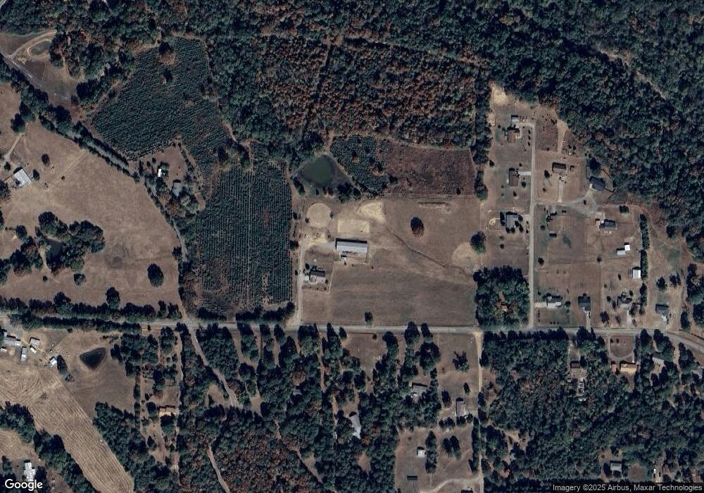
This home is located at 489 Landers Loop Rd, Dover, AR 72837 and is currently estimated at $380,368, approximately $210 per square foot. 489 Landers Loop Rd is a home located in Pope County with nearby schools including Dover Elementary School, Dover Intermediate School, and Dover Middle School.
Ownership History
Date
Name
Owned For
Owner Type
Purchase Details
Closed on
Jul 27, 2016
Sold by
Lewis Larry Leo and Lewis Deborah Ann
Bought by
Newton Joanna T and Newton Ryan K
Current Estimated Value
Home Financials for this Owner
Home Financials are based on the most recent Mortgage that was taken out on this home.
Original Mortgage
$215,000
Outstanding Balance
$97,112
Interest Rate
3.48%
Mortgage Type
New Conventional
Estimated Equity
$283,256
Purchase Details
Closed on
Feb 14, 1900
Bought by
Clark
Create a Home Valuation Report for This Property
The Home Valuation Report is an in-depth analysis detailing your home's value as well as a comparison with similar homes in the area
Purchase History
| Date | Buyer | Sale Price | Title Company |
|---|---|---|---|
| Newton Joanna T | $245,000 | Attorney | |
| Clark | -- | -- |
Source: Public Records
Mortgage History
| Date | Status | Borrower | Loan Amount |
|---|---|---|---|
| Open | Newton Joanna T | $215,000 |
Source: Public Records
Tax History
| Year | Tax Paid | Tax Assessment Tax Assessment Total Assessment is a certain percentage of the fair market value that is determined by local assessors to be the total taxable value of land and additions on the property. | Land | Improvement |
|---|---|---|---|---|
| 2025 | $1,827 | $47,360 | $1,400 | $45,960 |
| 2024 | $1,857 | $47,360 | $1,400 | $45,960 |
| 2023 | $1,789 | $47,360 | $1,400 | $45,960 |
| 2022 | $1,317 | $46,360 | $400 | $45,960 |
| 2021 | $1,201 | $46,360 | $400 | $45,960 |
| 2020 | $1,212 | $33,050 | $360 | $32,690 |
| 2019 | $1,212 | $33,050 | $360 | $32,690 |
| 2018 | $1,237 | $33,050 | $360 | $32,690 |
| 2017 | $1,613 | $33,050 | $360 | $32,690 |
| 2016 | $230 | $4,790 | $360 | $4,430 |
| 2015 | $241 | $5,370 | $330 | $5,040 |
| 2014 | $241 | $5,370 | $330 | $5,040 |
Source: Public Records
Map
Nearby Homes
- 1375 Pine Hill Rd
- 636 Sr 164 E
- 295 E Camp St
- 958 Arkansas 164
- 0 N Maple St Unit 23-309
- 0 N Maple St Unit 23-310
- 0 N Maple St Unit 21-2726
- 0 Hankins Dr Unit 24-1329
- 124 Hillcrest St
- 178 Grandview Dr
- 266 Arkansas 164
- 0 Ln Unit 1331991
- Lot 6 Melvin Ln
- 9566 Market St
- 21 S Elizabeth St
- 2619 Arkansas 164
- 188 W Water St
- 907 Smoke Tree Rd
- 10052 Camp St
- 30 Ashdown Ln
- 574 Landers Loop Rd
- 89 Buckhorn Ln
- 488 Landers Loop Rd
- 161 Buckhorn Ln
- 611 Landers Loop Rd
- 55 Mosley Cir
- 220 Clark Rd
- 639 Landers Loop Rd
- 660 Landers Loop Rd
- 50 Antlers Ct
- Lot 5 Antler Ct
- 5 Antler Ct
- 195 Buckhorn Ln
- 51 Antlers Ct
- 735 Landers Loop Rd
- 378 Landers Loop Rd
- 77 Antlers Ct
- 110 Mosley Cir
- 62 Antlers Ct
