489 Litchfield Rd New Milford, CT 06776
Estimated Value: $411,000 - $551,000
3
Beds
2
Baths
1,769
Sq Ft
$284/Sq Ft
Est. Value
About This Home
This home is located at 489 Litchfield Rd, New Milford, CT 06776 and is currently estimated at $501,623, approximately $283 per square foot. 489 Litchfield Rd is a home located in Litchfield County with nearby schools including Northville Elementary School, Sarah Noble Intermediate School, and Schaghticoke Middle School.
Ownership History
Date
Name
Owned For
Owner Type
Purchase Details
Closed on
Aug 1, 2014
Sold by
Lehn Michael L and Campbell Lori J
Bought by
Lehn Michael L
Current Estimated Value
Create a Home Valuation Report for This Property
The Home Valuation Report is an in-depth analysis detailing your home's value as well as a comparison with similar homes in the area
Home Values in the Area
Average Home Value in this Area
Purchase History
| Date | Buyer | Sale Price | Title Company |
|---|---|---|---|
| Lehn Michael L | -- | -- |
Source: Public Records
Mortgage History
| Date | Status | Borrower | Loan Amount |
|---|---|---|---|
| Previous Owner | Lehn Michael L | $228,910 | |
| Previous Owner | Lehn Michael L | $100,000 | |
| Previous Owner | Lehn Michael L | $30,000 |
Source: Public Records
Tax History Compared to Growth
Tax History
| Year | Tax Paid | Tax Assessment Tax Assessment Total Assessment is a certain percentage of the fair market value that is determined by local assessors to be the total taxable value of land and additions on the property. | Land | Improvement |
|---|---|---|---|---|
| 2025 | $10,573 | $238,650 | $53,500 | $185,150 |
| 2024 | $7,105 | $238,650 | $53,500 | $185,150 |
| 2023 | $6,916 | $238,650 | $53,500 | $185,150 |
| 2022 | $6,766 | $238,650 | $53,500 | $185,150 |
| 2021 | $6,675 | $238,650 | $53,500 | $185,150 |
| 2020 | $6,517 | $227,220 | $59,360 | $167,860 |
| 2019 | $6,521 | $227,220 | $59,360 | $167,860 |
| 2018 | $6,401 | $227,220 | $59,360 | $167,860 |
| 2017 | $6,192 | $227,220 | $59,360 | $167,860 |
| 2016 | $6,083 | $227,220 | $59,360 | $167,860 |
| 2015 | $6,078 | $227,220 | $59,360 | $167,860 |
| 2014 | $5,976 | $227,220 | $59,360 | $167,860 |
Source: Public Records
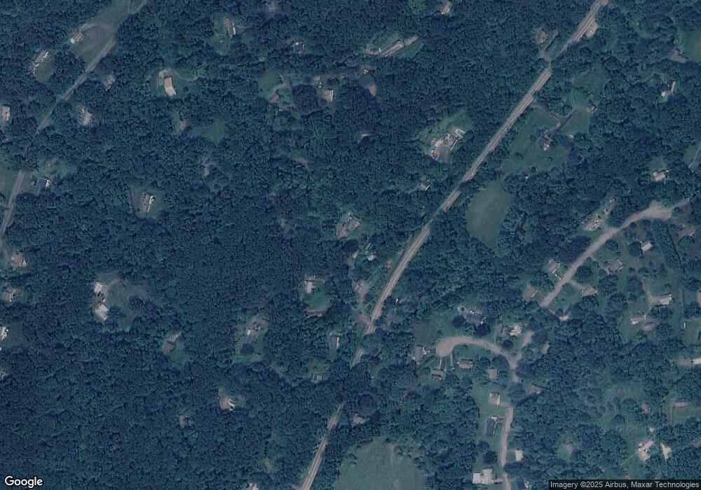
Map
Nearby Homes
- 15 Connelly Rd
- 35 Hillendale Dr
- 62 Big Bear Hill Rd
- 29 Quarry Ridge Rd
- 35 Quarry Ridge Rd Unit 35
- 93 Quarry Ridge Rd Unit 93
- 326 Litchfield Rd
- 10 Harmony Trail
- 15 Harmony Trail
- 1 Blossom Ct Unit 1
- 54 Scofield Hill Rd
- Lot 4 060804B Upper Church Hill Rd
- Lot 3 060804C Upper Church Hill Rd
- 21 Crossmon Rd
- 10 Biliski Rd
- Lot 2 060804A Popple Swamp Rd
- LOT 1 060804 Popple Swamp Rd
- 158 Popple Swamp Rd
- 00 Upper Church Hill & Popple Swamp Rd
- 4 High Trail
- 5 Connelly Rd
- 495 Litchfield Rd
- 18 Connelly Rd
- 486 Litchfield Rd
- 24 Hillendale Dr
- 24 Connelly Rd
- 22 Connelly Rd
- 482 Litchfield Rd
- 23 Connelly Rd
- 499 Litchfield Rd
- 485 Litchfield Rd
- 17 Connelly Rd
- 20 Hillendale Dr
- 481 Litchfield Rd
- 483 Litchfield Rd
- 19 Connelly Rd
- 28A Connelly Rd
- 21 Hillendale Dr
- 29 Hillendale Dr
- 18 Hillendale Dr