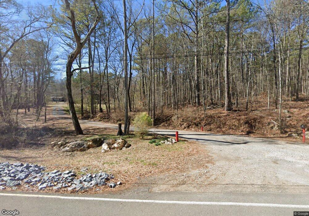
489 Mcclain Rd Kingston, GA 30145
Estimated Value: $234,000 - $356,000
Studio
--
Bath
2,241
Sq Ft
$133/Sq Ft
Est. Value
About This Home
This home is located at 489 Mcclain Rd, Kingston, GA 30145 and is currently estimated at $298,142, approximately $133 per square foot. 489 Mcclain Rd is a home located in Floyd County with nearby schools including Model Middle School and Model High School.
Ownership History
Date
Name
Owned For
Owner Type
Purchase Details
Closed on
Jun 3, 2008
Sold by
Wilson Robert S
Bought by
Floyd County
Current Estimated Value
Purchase Details
Closed on
Mar 10, 2006
Sold by
Not Provided
Bought by
Kernes William
Home Financials for this Owner
Home Financials are based on the most recent Mortgage that was taken out on this home.
Original Mortgage
$104,000
Interest Rate
6.19%
Mortgage Type
New Conventional
Purchase Details
Closed on
Nov 19, 2001
Sold by
Wilson Kimley E
Bought by
Hicks Willie P and Hicks Katie M
Purchase Details
Closed on
Nov 2, 2001
Sold by
Wilson Robert S and Wilson Kimley E
Bought by
Wilson Kimley E
Purchase Details
Closed on
Jul 2, 1998
Bought by
Wilson Robert S and Wilson Kimley E
Create a Home Valuation Report for This Property
The Home Valuation Report is an in-depth analysis detailing your home's value as well as a comparison with similar homes in the area
Home Values in the Area
Average Home Value in this Area
Purchase History
| Date | Buyer | Sale Price | Title Company |
|---|---|---|---|
| Floyd County | $444 | -- | |
| Kernes William | $130,000 | -- | |
| Hicks Willie P | $153,800 | -- | |
| Wilson Kimley E | -- | -- | |
| Wilson Robert S | -- | -- |
Source: Public Records
Mortgage History
| Date | Status | Borrower | Loan Amount |
|---|---|---|---|
| Previous Owner | Kernes William | $104,000 |
Source: Public Records
Tax History Compared to Growth
Tax History
| Year | Tax Paid | Tax Assessment Tax Assessment Total Assessment is a certain percentage of the fair market value that is determined by local assessors to be the total taxable value of land and additions on the property. | Land | Improvement |
|---|---|---|---|---|
| 2024 | $1,627 | $103,449 | $14,520 | $88,929 |
| 2023 | $1,186 | $92,155 | $13,200 | $78,955 |
| 2022 | $1,210 | $76,694 | $10,472 | $66,222 |
| 2021 | $1,645 | $61,413 | $9,525 | $51,888 |
| 2020 | $1,511 | $53,373 | $8,282 | $45,091 |
| 2019 | $1,459 | $51,742 | $8,282 | $43,460 |
| 2018 | $1,398 | $49,640 | $7,888 | $41,752 |
| 2017 | $1,359 | $48,240 | $7,304 | $40,936 |
| 2016 | $1,367 | $47,985 | $7,280 | $40,705 |
| 2015 | $1,339 | $47,985 | $7,280 | $40,705 |
| 2014 | $1,339 | $47,985 | $7,280 | $40,705 |
Source: Public Records
Map
Nearby Homes
- 0 Mcclain Rd Unit 10537234
- 159 Ward Mountain Rd
- 87 Ward Mountain Rd
- 750 Flowery Branch Rd
- 96 Collins Rd NE
- 676 Flowery Branch Rd
- 919 Ward Mountain Rd
- 169 Barnsley Church Rd
- 1799 Wayside Rd
- 2878 E Hermitage Rd
- 32 Fieldstone Dr NE
- 818 Morrison Camp Ground Rd NE
- 370 Youngs Mill Rd
- 1644 Wayside Rd NE
- 0 Galway Dr NE
- 851 Barnsley Garden Rd
- 0 Galway Dr Unit 7686051
- 0 Galway Dr Unit 10650912
- 0 Flowery Branch Rd Unit 7684237
- 0 Flowery Branch Rd Unit 10651048
- 493 Mcclain Rd
- 491 Mcclain Rd
- 499 Mcclain Rd
- 430 Mcclain Rd
- 422 Mcclain Rd Unit 2
- 422 Mcclain Rd
- 400 Mcclain Rd
- 400 Mcclain Rd
- 90 Boulder Rd
- 414 Mcclain Rd
- 414 Mcclain Rd
- 89 Boulder Rd
- 366 Mcclain Rd
- 401* Mcclain Rd
- 401 Mcclain Rd
- 0 Mcclain Rd Unit 6876061
- 0 Mcclain Rd Unit 8968984
- 108 Boulder Rd
- 157 Gentry Rd NE
- 354 Mcclain Rd
