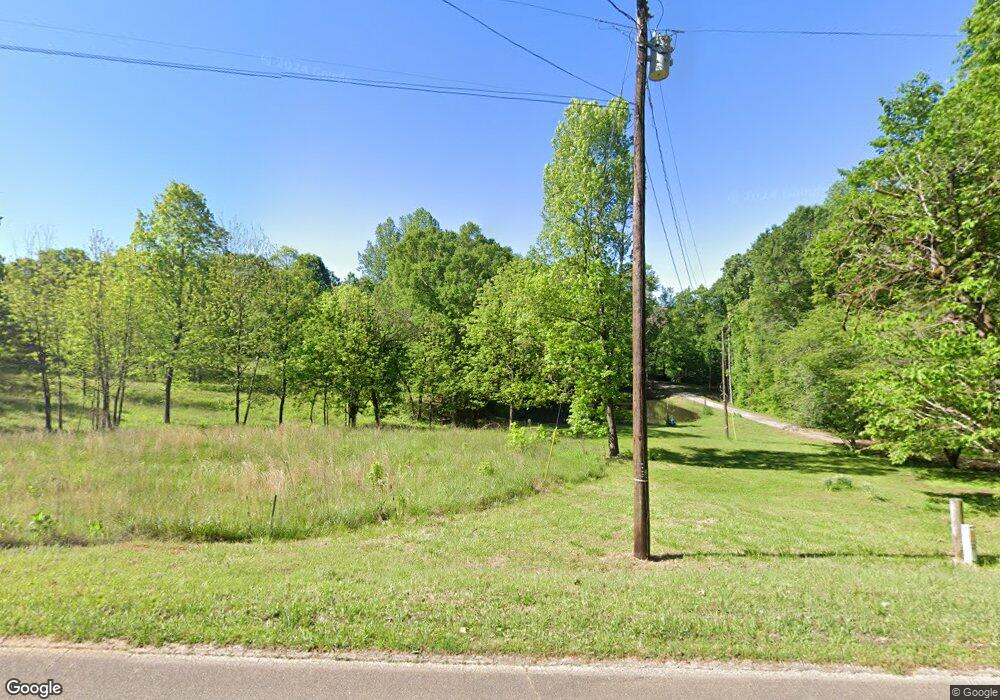
489 McDonald Cir Commerce, GA 30529
Estimated Value: $293,000 - $637,000
3
Beds
2
Baths
1,722
Sq Ft
$260/Sq Ft
Est. Value
About This Home
This home is located at 489 McDonald Cir, Commerce, GA 30529 and is currently estimated at $447,732, approximately $260 per square foot. 489 McDonald Cir is a home located in Banks County with nearby schools including Banks County Primary School, Banks County Elementary School, and Banks County Middle School.
Ownership History
Date
Name
Owned For
Owner Type
Purchase Details
Closed on
Jun 8, 2020
Sold by
Ramsey Lesia
Bought by
Ramsey Taylor
Current Estimated Value
Create a Home Valuation Report for This Property
The Home Valuation Report is an in-depth analysis detailing your home's value as well as a comparison with similar homes in the area
Home Values in the Area
Average Home Value in this Area
Purchase History
| Date | Buyer | Sale Price | Title Company |
|---|---|---|---|
| Ramsey Taylor | -- | -- |
Source: Public Records
Tax History Compared to Growth
Tax History
| Year | Tax Paid | Tax Assessment Tax Assessment Total Assessment is a certain percentage of the fair market value that is determined by local assessors to be the total taxable value of land and additions on the property. | Land | Improvement |
|---|---|---|---|---|
| 2025 | $2,814 | $155,820 | $61,984 | $93,836 |
| 2024 | $2,814 | $146,385 | $56,349 | $90,036 |
| 2023 | $1,909 | $113,807 | $46,948 | $66,859 |
| 2022 | $1,927 | $93,699 | $37,597 | $56,102 |
| 2021 | $1,636 | $75,235 | $28,483 | $46,752 |
| 2020 | $1,541 | $69,203 | $24,387 | $44,816 |
| 2019 | $1,549 | $69,203 | $24,387 | $44,816 |
| 2018 | $1,481 | $65,223 | $24,387 | $40,836 |
| 2017 | $942 | $57,366 | $20,322 | $37,044 |
| 2016 | $966 | $57,366 | $20,322 | $37,044 |
| 2015 | $903 | $57,366 | $20,322 | $37,044 |
| 2014 | $903 | $77,336 | $40,292 | $37,044 |
| 2013 | -- | $77,336 | $40,292 | $37,044 |
Source: Public Records
Map
Nearby Homes
- 20352 Highway 441 S
- 150 Harden Bridge Rd
- 390 Beck Farm Rd
- 0 Eisenhower Dr
- 144 Chestnut Trail
- 189 Oakwood Dr
- 0 Steven B Tanger Blvd Unit 18091877
- 135 Horseshoe Trail
- 840 Haggard Rd
- 1911 Ridgeway Church Rd
- 297 Dodge Hill Rd
- 606 Beck Rd
- 214 Cannon Creek
- 1570 Historic Homer Hwy
- 0 Beck Rd
- 122 Cannon Creek
- 1262 Ridgeway Church Rd
- 0 N Highway 441 Unit 10570307
- 396 Old Harden Orchard Rd
- 140 Buckeye Trails Dr
- 491 McDonald Cir
- 461 McDonald Cir
- 409 McDonald Cir
- 367 McDonald Cir
- 468 McDonald Cir
- 413 McDonald Cir
- 458 McDonald Cir
- 408 McDonald Cir
- 361 McDonald Cir
- 275 McDonald Cir
- 317 McDonald Cir
- 279 McDonald Cir
- 356 McDonald Cir
- 340 McDonald Cir
- 273 McDonald Cir
- 256 McDonald Cir
- 253 McDonald Cir
- 229 McDonald Cir
- 352 McDonald Cir
- 354 McDonald Cir
