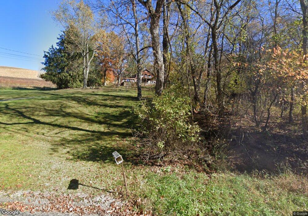
489 Moores Grove Rd Ruffs Dale, PA 15679
Hempfield Township NeighborhoodEstimated Value: $87,002 - $310,000
4
Beds
1
Bath
1,522
Sq Ft
$132/Sq Ft
Est. Value
About This Home
This home is located at 489 Moores Grove Rd, Ruffs Dale, PA 15679 and is currently estimated at $201,001, approximately $132 per square foot. 489 Moores Grove Rd is a home located in Westmoreland County with nearby schools including Mendon Elementary School, Yough Intermediate Middle School, and Yough Senior High School.
Ownership History
Date
Name
Owned For
Owner Type
Purchase Details
Closed on
May 26, 2010
Sold by
Goodman Randy L and Goodman Cindy I
Bought by
Kendi Donald E and Kendi Kathy L
Current Estimated Value
Home Financials for this Owner
Home Financials are based on the most recent Mortgage that was taken out on this home.
Original Mortgage
$83,325
Outstanding Balance
$56,281
Interest Rate
5.13%
Mortgage Type
New Conventional
Estimated Equity
$144,720
Create a Home Valuation Report for This Property
The Home Valuation Report is an in-depth analysis detailing your home's value as well as a comparison with similar homes in the area
Home Values in the Area
Average Home Value in this Area
Purchase History
| Date | Buyer | Sale Price | Title Company |
|---|---|---|---|
| Kendi Donald E | $175,000 | None Available |
Source: Public Records
Mortgage History
| Date | Status | Borrower | Loan Amount |
|---|---|---|---|
| Open | Kendi Donald E | $83,325 |
Source: Public Records
Tax History Compared to Growth
Tax History
| Year | Tax Paid | Tax Assessment Tax Assessment Total Assessment is a certain percentage of the fair market value that is determined by local assessors to be the total taxable value of land and additions on the property. | Land | Improvement |
|---|---|---|---|---|
| 2025 | $2,610 | $21,350 | $2,500 | $18,850 |
| 2024 | $2,503 | $21,350 | $2,500 | $18,850 |
| 2023 | $2,305 | $21,350 | $2,500 | $18,850 |
| 2022 | $2,305 | $21,350 | $2,500 | $18,850 |
| 2021 | $2,305 | $21,350 | $2,500 | $18,850 |
| 2020 | $2,305 | $21,350 | $2,500 | $18,850 |
| 2019 | $2,294 | $21,350 | $2,500 | $18,850 |
| 2018 | $2,267 | $21,350 | $2,500 | $18,850 |
| 2017 | $2,215 | $21,350 | $2,500 | $18,850 |
| 2016 | $2,105 | $21,350 | $2,500 | $18,850 |
| 2015 | $2,105 | $21,350 | $2,500 | $18,850 |
| 2014 | $2,073 | $21,350 | $2,500 | $18,850 |
Source: Public Records
Map
Nearby Homes
- 000 Yukon Rd
- 404 Herminie Rd
- 148 Poverty Hollow Rd
- 140 Highway St
- a Pennylvania Ave
- 182 Broadview Rd
- Penwell Plan at Broadview Estates
- Galen Plan at Broadview Estates
- Deerfield Plan at Broadview Estates
- 410 Curtis Ct
- 412 Curtis Ct
- 414 Curtis Ct
- 416 Curtis Ct
- 515 Herminie Rd
- 1877 Main St
- 0 Broadview Rd
- 620 Timberline Ln
- 511 Markeys Rd
- 104 Stratford Ct
- 440 N Center Ave
- 497 Moores Grove Rd
- 486 Moores Grove Rd
- 510 Moores Grove Rd
- 528 Moores Grove Rd
- 293 Wagner Rd
- 293 Wagner Rd
- 531 Moores Grove Rd
- 426 McGrogan Rd
- 423 McGrogan Rd
- 678 Browntown Rd
- 674 Browntown Rd
- 696 Browntown Rd
- 107 Yuma Ln
- 706 Browntown Rd
- 409 McGrogan Rd
- 259 Wagner Rd
- 683 Browntown Rd
- 878 Waltz Mill Rd
- 140 Keck Ln
- 916 Waltz Mill Rd