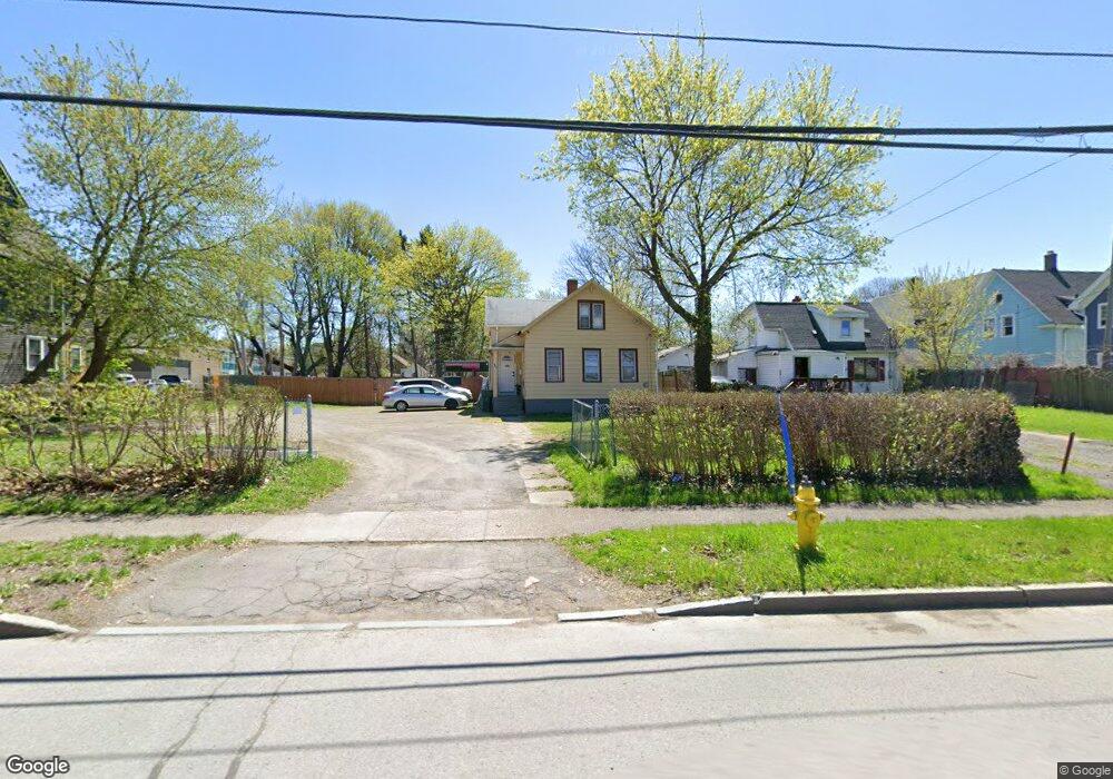
489 Norton St Rochester, NY 14621
Northeast Rochester NeighborhoodEstimated Value: $107,000 - $129,761
3
Beds
1
Bath
870
Sq Ft
$136/Sq Ft
Est. Value
About This Home
This home is located at 489 Norton St, Rochester, NY 14621 and is currently estimated at $117,940, approximately $135 per square foot. 489 Norton St is a home located in Monroe County with nearby schools including School 39-Andrew J. Townson, School 9-DR Martin Luther King Jr, and School 8-Roberto Clemente.
Ownership History
Date
Name
Owned For
Owner Type
Purchase Details
Closed on
Mar 8, 2022
Sold by
Real Properties Horizon Inc
Bought by
Crosdale Mario Jervis Campi
Current Estimated Value
Home Financials for this Owner
Home Financials are based on the most recent Mortgage that was taken out on this home.
Original Mortgage
$78,016
Interest Rate
3.55%
Mortgage Type
Construction
Purchase Details
Closed on
Aug 24, 2020
Sold by
Smith Bradley R
Bought by
Real Properties Horizon Inc
Create a Home Valuation Report for This Property
The Home Valuation Report is an in-depth analysis detailing your home's value as well as a comparison with similar homes in the area
Home Values in the Area
Average Home Value in this Area
Purchase History
| Date | Buyer | Sale Price | Title Company |
|---|---|---|---|
| Crosdale Mario Jervis Campi | $92,000 | Abar Abstract | |
| Real Properties Horizon Inc | $45,000 | Swyft Abstract Llc |
Source: Public Records
Mortgage History
| Date | Status | Borrower | Loan Amount |
|---|---|---|---|
| Closed | Crosdale Mario Jervis Campi | $78,016 |
Source: Public Records
Tax History Compared to Growth
Tax History
| Year | Tax Paid | Tax Assessment Tax Assessment Total Assessment is a certain percentage of the fair market value that is determined by local assessors to be the total taxable value of land and additions on the property. | Land | Improvement |
|---|---|---|---|---|
| 2024 | $816 | $73,500 | $16,100 | $57,400 |
| 2023 | $443 | $30,700 | $5,500 | $25,200 |
| 2022 | $388 | $30,700 | $5,500 | $25,200 |
| 2021 | $404 | $30,700 | $5,500 | $25,200 |
| 2020 | $514 | $30,700 | $5,500 | $25,200 |
| 2019 | $541 | $31,000 | $5,500 | $25,500 |
| 2018 | $1,503 | $31,000 | $5,500 | $25,500 |
| 2017 | $0 | $31,000 | $5,500 | $25,500 |
| 2016 | $541 | $31,000 | $5,500 | $25,500 |
| 2015 | $1,501 | $31,000 | $5,500 | $25,500 |
| 2014 | $1,501 | $31,000 | $5,500 | $25,500 |
Source: Public Records
Map
Nearby Homes
- 68 Weaver St
- 27-29 Weaver St
- 32 van Stallen St
- 39 Townsend St
- 330 & 336 Norton St
- 131 Weaver St
- 75 van Stallen St
- 36 Weyl St
- 61 Leo St
- 350 Remington St
- 27-29 Trenaman St
- 190 Weaver St
- 933 Joseph Ave
- 111 van Stallen St Unit 113
- 232 Townsend St
- 431-433 Hollenbeck St Unit 2
- 137 van Stallen St
- 24 Nye Park
- 36 Nye Park Unit 38
- 1227 N Clinton Ave Unit 1221
- 499 Norton St Unit 501
- 481 Norton St
- 507 Norton St
- 532 Remington St
- 532 Remington St Unit 2
- 542 Remington St
- 526 Remington St
- 544 Remington St Unit 546
- 511 Norton St
- 550 Remington St
- 517 Norton St
- 520 Remington St
- 62 Lang St
- 521 Norton St Unit 523
- 512 Remington St
- 506 Remington St
- 535 Remington St Unit 537
- 541 Remington St Unit 543
- 547-549 Remington St
- 547 Remington St Unit 549