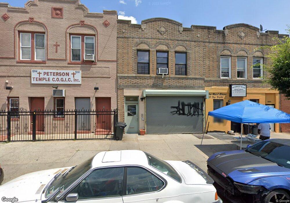
489 Ralph Ave Brooklyn, NY 11233
Crown Heights NeighborhoodEstimated Value: $1,042,961
Studio
--
Bath
1,788
Sq Ft
$583/Sq Ft
Est. Value
About This Home
This home is located at 489 Ralph Ave, Brooklyn, NY 11233 and is currently estimated at $1,042,961, approximately $583 per square foot. 489 Ralph Ave is a home located in Kings County with nearby schools including P.S. 191 Paul Robeson, Brooklyn Ascend Charter School, and Brownsville Collegiate Charter School.
Ownership History
Date
Name
Owned For
Owner Type
Purchase Details
Closed on
Sep 11, 2014
Sold by
Nhs Community Development Corp
Bought by
Fitzpatrick Lisa C
Current Estimated Value
Home Financials for this Owner
Home Financials are based on the most recent Mortgage that was taken out on this home.
Original Mortgage
$277,500
Outstanding Balance
$212,051
Interest Rate
4.09%
Mortgage Type
Commercial
Estimated Equity
$830,910
Create a Home Valuation Report for This Property
The Home Valuation Report is an in-depth analysis detailing your home's value as well as a comparison with similar homes in the area
Home Values in the Area
Average Home Value in this Area
Purchase History
| Date | Buyer | Sale Price | Title Company |
|---|---|---|---|
| Fitzpatrick Lisa C | $670,000 | -- |
Source: Public Records
Mortgage History
| Date | Status | Borrower | Loan Amount |
|---|---|---|---|
| Open | Fitzpatrick Lisa C | $277,500 |
Source: Public Records
Tax History
| Year | Tax Paid | Tax Assessment Tax Assessment Total Assessment is a certain percentage of the fair market value that is determined by local assessors to be the total taxable value of land and additions on the property. | Land | Improvement |
|---|---|---|---|---|
| 2025 | $3,484 | $34,320 | $11,340 | $22,980 |
| 2024 | $3,484 | $34,860 | $11,340 | $23,520 |
| 2023 | $2,963 | $42,780 | $11,340 | $31,440 |
| 2022 | $2,489 | $39,660 | $11,340 | $28,320 |
| 2021 | $2,383 | $35,100 | $11,340 | $23,760 |
| 2020 | $1,042 | $35,100 | $11,340 | $23,760 |
| 2019 | $1,744 | $35,340 | $11,340 | $24,000 |
| 2018 | $1,567 | $17,218 | $6,628 | $10,590 |
| 2017 | $1,366 | $16,244 | $6,703 | $9,541 |
| 2016 | $1,421 | $15,974 | $7,109 | $8,865 |
| 2015 | $638 | $15,969 | $7,104 | $8,865 |
| 2014 | $638 | $15,209 | $6,344 | $8,865 |
Source: Public Records
Map
Nearby Homes
- 476 Ralph Ave
- 1570 Prospect Place Unit 2
- 429 Ralph Ave Unit 1
- 1709 Park Place
- 189 Buffalo Ave
- 1551 Park Place Unit 2D
- 1285A Saint Marks Ave
- 1292 Saint Marks Ave Unit 2
- 1535 Park Place
- 1655 Lincoln Place
- 2108 Dean St
- 1830 Sterling Place
- 139 Rochester Ave
- 2046 Pacific St
- 1526 Lincoln Place Unit 3-L
- 1526 Lincoln Place Unit 4-R
- 1526 Lincoln Place Unit 1-L
- 1526 Lincoln Place Unit 3-R
- 1538 Saint Marks Ave
- 49 Buffalo Ave
- 487 Ralph Ave
- 491 Ralph Ave
- 493 Ralph Ave
- 483 Ralph Ave
- 1646 Prospect Place
- 495 Ralph Ave
- 1648 Prospect Place
- 497 Ralph Ave
- 1650 Prospect Place
- 1636 Prospect Place
- 1636 Prospect Place Unit 2
- 1636 Prospect Place Unit HOUSE
- 501 Ralph Ave
- 1634 Prospect Place
- 1634 Ralph Ave
- 1652 Prospect Place
- 503 Ralph Ave
- 482 Ralph Ave
- 482 Ralph Ave
- 1632 Prospect Place Unit 1
Your Personal Tour Guide
Ask me questions while you tour the home.