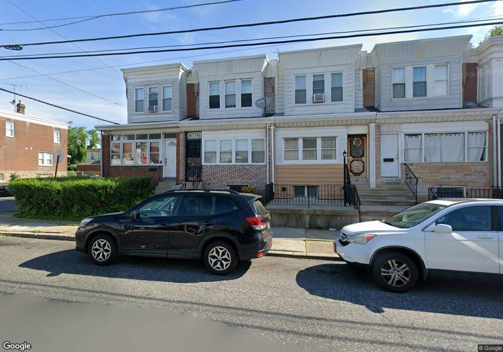
489 Robbins St Philadelphia, PA 19111
Lawncrest NeighborhoodEstimated Value: $216,000 - $239,000
3
Beds
1
Bath
1,260
Sq Ft
$181/Sq Ft
Est. Value
About This Home
This home is located at 489 Robbins St, Philadelphia, PA 19111 and is currently estimated at $228,436, approximately $181 per square foot. 489 Robbins St is a home located in Philadelphia County with nearby schools including J. Hampton Moore School, Castor Gardens Middle School, and Northeast High School.
Ownership History
Date
Name
Owned For
Owner Type
Purchase Details
Closed on
Nov 30, 1999
Sold by
Boland Loretta T and Adams Kathleen
Bought by
Cesaire Dieudonnat
Current Estimated Value
Home Financials for this Owner
Home Financials are based on the most recent Mortgage that was taken out on this home.
Original Mortgage
$47,597
Outstanding Balance
$14,945
Interest Rate
7.9%
Mortgage Type
FHA
Estimated Equity
$213,491
Create a Home Valuation Report for This Property
The Home Valuation Report is an in-depth analysis detailing your home's value as well as a comparison with similar homes in the area
Home Values in the Area
Average Home Value in this Area
Purchase History
| Date | Buyer | Sale Price | Title Company |
|---|---|---|---|
| Cesaire Dieudonnat | $48,000 | -- |
Source: Public Records
Mortgage History
| Date | Status | Borrower | Loan Amount |
|---|---|---|---|
| Open | Cesaire Dieudonnat | $47,597 |
Source: Public Records
Tax History Compared to Growth
Tax History
| Year | Tax Paid | Tax Assessment Tax Assessment Total Assessment is a certain percentage of the fair market value that is determined by local assessors to be the total taxable value of land and additions on the property. | Land | Improvement |
|---|---|---|---|---|
| 2025 | $2,205 | $199,500 | $39,900 | $159,600 |
| 2024 | $2,205 | $199,500 | $39,900 | $159,600 |
| 2023 | $2,205 | $157,500 | $31,500 | $126,000 |
| 2022 | $1,575 | $112,500 | $31,500 | $81,000 |
| 2021 | $1,625 | $0 | $0 | $0 |
| 2020 | $1,625 | $0 | $0 | $0 |
| 2019 | $1,559 | $0 | $0 | $0 |
| 2018 | $1,074 | $0 | $0 | $0 |
| 2017 | $1,494 | $0 | $0 | $0 |
| 2016 | $1,074 | $0 | $0 | $0 |
| 2015 | $1,028 | $0 | $0 | $0 |
| 2014 | -- | $106,700 | $25,345 | $81,355 |
| 2012 | -- | $14,848 | $2,087 | $12,761 |
Source: Public Records
Map
Nearby Homes
- 454 Devereaux Ave
- 6422 Argyle St
- 6324 Shelbourne St
- 354 Devereaux Ave
- 6313 Bingham St
- 6339 Bingham St
- 318 Devereaux Ave
- 615 Robbins St
- 6424 Bingham St
- 335 Passmore St
- 6126-28 Bingham St
- 6101 Colgate St
- 6111 Palmetto St
- 6162 Hasbrook Ave
- 6253 Lawndale Ave
- 223 Levick St
- 6143 Reach St
- 528 Magee Ave
- 330 Magee Ave
- 6046 Hasbrook Ave
- 491 Robbins St
- 487 Robbins St
- 493 Robbins St
- 495 Robbins St
- 497 Robbins St
- 6311 Argyle St
- 499 Robbins St
- 6313 Argyle St
- 6315 Argyle St
- 483 Robbins St
- 6317 Argyle St
- 481 Robbins St
- 6304 Rising Sun Ave
- 6306 Rising Sun Ave
- 6302 Rising Sun Ave
- 6300 Rising Sun Ave
- 6425 Argyle St
- 6425 Argyle St Unit 2
- 6425 Argyle St Unit 1
- 6312-14 Rising Sun Ave