489 Theiss Rd Vinton, OH 45686
Estimated Value: $65,000 - $155,000
Studio
--
Bath
--
Sq Ft
20.89
Acres
About This Home
This home is located at 489 Theiss Rd, Vinton, OH 45686 and is currently estimated at $115,450. 489 Theiss Rd is a home with nearby schools including Vinton Elementary School.
Ownership History
Date
Name
Owned For
Owner Type
Purchase Details
Closed on
Jan 10, 2019
Sold by
Thomas Bill R and Thomas Donna F
Bought by
Spencer Debra L and Toler Debra L
Current Estimated Value
Purchase Details
Closed on
Apr 17, 2009
Sold by
Spencer Debra L
Bought by
George Brandon M and George Cassie R
Home Financials for this Owner
Home Financials are based on the most recent Mortgage that was taken out on this home.
Original Mortgage
$126,972
Interest Rate
5.19%
Mortgage Type
VA
Purchase Details
Closed on
Aug 13, 2003
Bought by
Thomas Bill R
Purchase Details
Closed on
Oct 7, 1997
Sold by
Spencer Naomi
Bought by
Spencer Donald L
Create a Home Valuation Report for This Property
The Home Valuation Report is an in-depth analysis detailing your home's value as well as a comparison with similar homes in the area
Purchase History
| Date | Buyer | Sale Price | Title Company |
|---|---|---|---|
| Spencer Debra L | -- | None Available | |
| George Brandon M | $124,300 | None Available | |
| Thomas Bill R | -- | -- | |
| Spencer Donald L | -- | -- |
Source: Public Records
Mortgage History
| Date | Status | Borrower | Loan Amount |
|---|---|---|---|
| Previous Owner | George Brandon M | $126,972 |
Source: Public Records
Tax History
| Year | Tax Paid | Tax Assessment Tax Assessment Total Assessment is a certain percentage of the fair market value that is determined by local assessors to be the total taxable value of land and additions on the property. | Land | Improvement |
|---|---|---|---|---|
| 2024 | $833 | $24,260 | $19,250 | $5,010 |
| 2023 | $899 | $24,260 | $19,250 | $5,010 |
| 2022 | $803 | $21,330 | $16,290 | $5,040 |
| 2021 | $801 | $21,330 | $16,290 | $5,040 |
| 2020 | $801 | $21,330 | $16,290 | $5,040 |
| 2019 | $747 | $20,010 | $15,340 | $4,670 |
| 2018 | $747 | $20,010 | $15,340 | $4,670 |
| 2017 | $757 | $20,010 | $15,340 | $4,670 |
| 2016 | $664 | $17,990 | $13,640 | $4,350 |
| 2015 | $664 | $17,990 | $13,640 | $4,350 |
| 2013 | $689 | $19,110 | $13,640 | $5,470 |
| 2012 | -- | $19,110 | $13,640 | $5,470 |
Source: Public Records
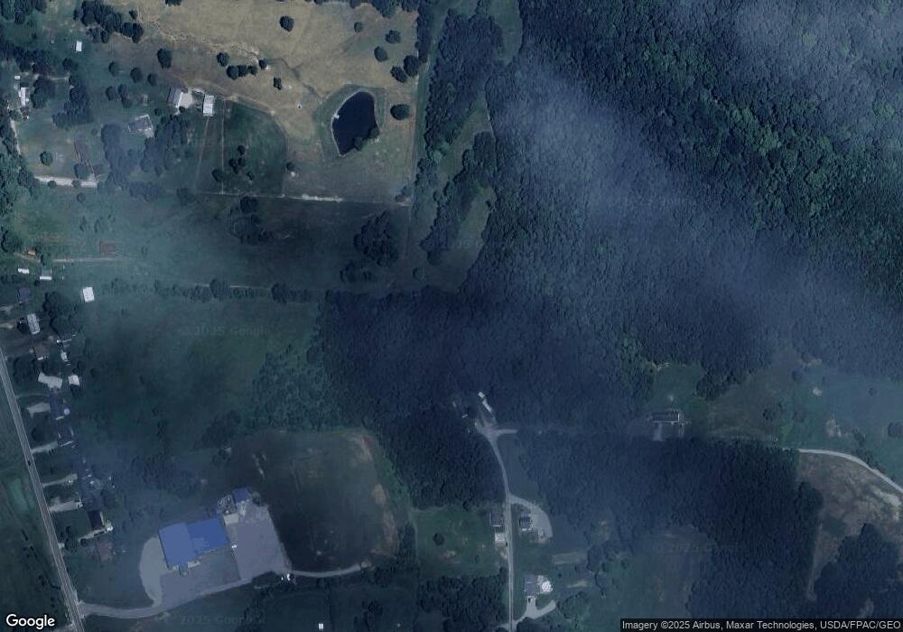
Map
Nearby Homes
- 399 Wilder Rd
- 243 Amby Ln
- 130 Amby Ln
- 206 Airline Rd
- 9675 Ohio 554
- 14565 Ohio 554
- 7710 Bull Run Rd
- 0 Keystone Rd Unit (Racoon Creek Cabin)
- 0 Keystone Rd Unit 25593981
- 1462 Keystone Rd
- 1462 Keystone Rd Unit (Raccoon Creek Adven
- 0 George
- 31166 Edmundson Rd
- 4346 Mount Tabor Rd
- 0 White Oak Rd
- 754 Prospect Church Rd
- 7323 Ohio 160
- 588 Ward Rd
- 680 Nibert Rd Unit (Ponds Poplar Ridge
- 3501 Kerr Rd
- 461 Theiss Rd
- 441 Theiss Rd
- 460 Theiss Rd
- 517 Theiss Rd
- 391 Theiss Rd
- 11690 State Route 160
- 11738 State Route 160
- 11760 State Route 160
- 11732 State Route 160
- 269 Theiss Rd
- 11656 State Route 160
- 11600 State Route 160
- 0 Theiss Unit 2431456
- 11745 State Route 160
- 11852 State Route 160
- 11779 State Route 160
- 11592 State Route 160
- 11568 State Route 160
- 11568 State Route 160
- 11874 State Route 160
Your Personal Tour Guide
Ask me questions while you tour the home.