Estimated Value: $201,000 - $252,000
3
Beds
1
Bath
912
Sq Ft
$250/Sq Ft
Est. Value
About This Home
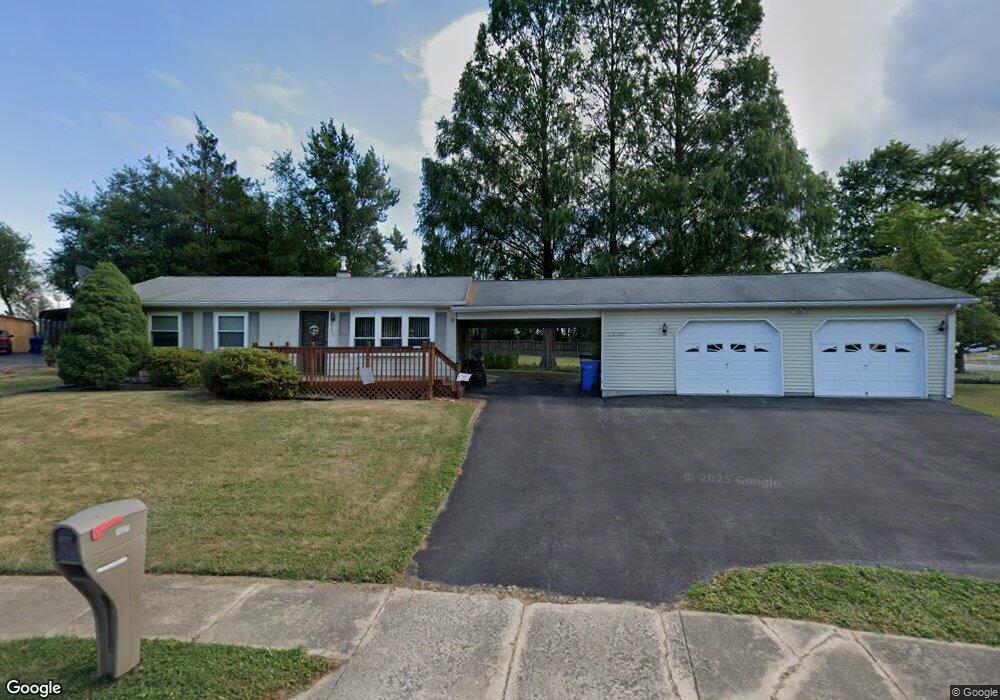
This home is located at 4890 Springfield Dr, York, PA 17408 and is currently estimated at $227,662, approximately $249 per square foot. 4890 Springfield Dr is a home located in York County with nearby schools including Spring Grove Area Middle School, Spring Grove Area High School, and St Rose Of Lima School.
Ownership History
Date
Name
Owned For
Owner Type
Purchase Details
Closed on
Nov 30, 2000
Sold by
Bailey Jason A and Bailey Rachel B
Bought by
Miller Craig E and Miller Nancy M
Current Estimated Value
Home Financials for this Owner
Home Financials are based on the most recent Mortgage that was taken out on this home.
Original Mortgage
$79,650
Outstanding Balance
$29,479
Interest Rate
7.76%
Estimated Equity
$198,183
Purchase Details
Closed on
Sep 1, 1995
Bought by
Bailey Jason A and Bailey Rachel B
Create a Home Valuation Report for This Property
The Home Valuation Report is an in-depth analysis detailing your home's value as well as a comparison with similar homes in the area
Home Values in the Area
Average Home Value in this Area
Purchase History
| Date | Buyer | Sale Price | Title Company |
|---|---|---|---|
| Miller Craig E | $88,500 | -- | |
| Bailey Jason A | $84,000 | -- |
Source: Public Records
Mortgage History
| Date | Status | Borrower | Loan Amount |
|---|---|---|---|
| Open | Miller Craig E | $79,650 |
Source: Public Records
Tax History Compared to Growth
Tax History
| Year | Tax Paid | Tax Assessment Tax Assessment Total Assessment is a certain percentage of the fair market value that is determined by local assessors to be the total taxable value of land and additions on the property. | Land | Improvement |
|---|---|---|---|---|
| 2025 | $3,487 | $105,190 | $31,610 | $73,580 |
| 2024 | $3,449 | $105,190 | $31,610 | $73,580 |
| 2023 | $3,449 | $105,190 | $31,610 | $73,580 |
| 2022 | $3,449 | $105,190 | $31,610 | $73,580 |
| 2021 | $3,299 | $105,190 | $31,610 | $73,580 |
| 2020 | $3,299 | $105,190 | $31,610 | $73,580 |
| 2019 | $3,228 | $105,190 | $31,610 | $73,580 |
| 2018 | $3,185 | $105,190 | $31,610 | $73,580 |
| 2017 | $3,111 | $105,190 | $31,610 | $73,580 |
| 2016 | $0 | $105,190 | $31,610 | $73,580 |
| 2015 | -- | $103,990 | $31,610 | $72,380 |
| 2014 | -- | $103,990 | $31,610 | $72,380 |
Source: Public Records
Map
Nearby Homes
- 410 Hanover Rd
- 5 Shennys Dr
- 105 Margate Rd
- 238 Perry Ave
- 4650 Wolfs Church Rd
- 652 Stoverstown Rd
- 5247 Lincoln Hwy W
- 932 Hanover Rd
- 4415 A W Market St
- 625 Bairs Rd
- 5297 Lincoln Hwy W
- 113 Farmview Dr
- 8 Spring Ridge Dr
- 665 Bairs Rd
- 253 B St Unit 253
- 4325 W Market St
- 22 Landing Place Unit 22
- 19 Landing Place Unit 19
- 21 Landing Place Unit 21
- 20 Landing Place Unit 20
- 415 Lincolnway Dr
- 4882 Springfield Dr
- 4885 Springfield Dr
- 425 Lincolnway Dr
- 4876 Springfield Dr
- 385 Lincolnway Dr
- 4870 Springfield Dr
- 410 Lincolnway Dr
- 390 Lincolnway Dr
- 435 Lincolnway Dr
- 4862 Springfield Dr
- 400 Lincolnway Dr
- 420 Lincolnway Dr
- 4865 Springfield Dr
- 365 Lincolnway Dr
- 370 Lincolnway Dr
- 430 Lincolnway Dr
- 4856 Springfield Dr
- 360 Lincolnway Dr
- 445 Lincolnway Dr