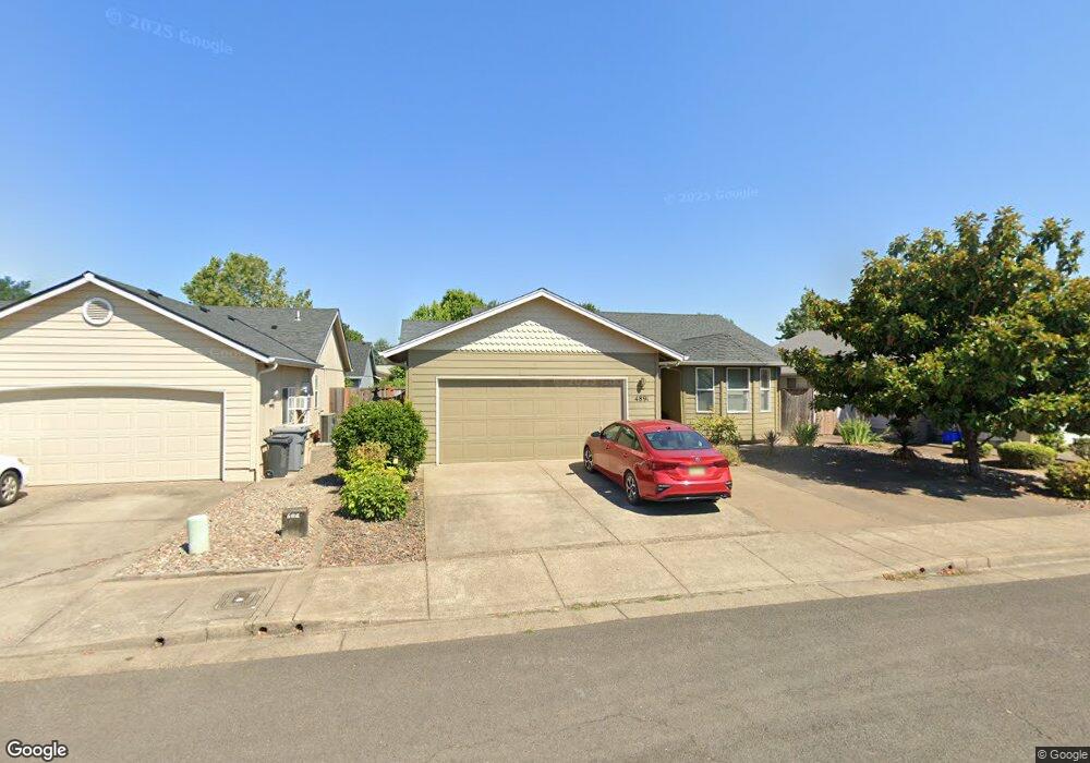
4891 SW Aster St Corvallis, OR 97333
Southwest Corvallis NeighborhoodEstimated Value: $468,000 - $519,000
3
Beds
2
Baths
1,330
Sq Ft
$368/Sq Ft
Est. Value
About This Home
This home is located at 4891 SW Aster St, Corvallis, OR 97333 and is currently estimated at $489,325, approximately $367 per square foot. 4891 SW Aster St is a home located in Benton County with nearby schools including Adams Elementary School, Linus Pauling Middle School, and Corvallis High School.
Ownership History
Date
Name
Owned For
Owner Type
Purchase Details
Closed on
May 4, 2015
Sold by
Lin Lydia and Lin Benjamin
Bought by
Yu Rebecca Q
Current Estimated Value
Home Financials for this Owner
Home Financials are based on the most recent Mortgage that was taken out on this home.
Original Mortgage
$146,250
Outstanding Balance
$112,502
Interest Rate
3.64%
Mortgage Type
New Conventional
Estimated Equity
$376,823
Create a Home Valuation Report for This Property
The Home Valuation Report is an in-depth analysis detailing your home's value as well as a comparison with similar homes in the area
Home Values in the Area
Average Home Value in this Area
Purchase History
| Date | Buyer | Sale Price | Title Company |
|---|---|---|---|
| Yu Rebecca Q | $195,000 | Fidelity National Title |
Source: Public Records
Mortgage History
| Date | Status | Borrower | Loan Amount |
|---|---|---|---|
| Open | Yu Rebecca Q | $146,250 |
Source: Public Records
Tax History Compared to Growth
Tax History
| Year | Tax Paid | Tax Assessment Tax Assessment Total Assessment is a certain percentage of the fair market value that is determined by local assessors to be the total taxable value of land and additions on the property. | Land | Improvement |
|---|---|---|---|---|
| 2024 | $5,243 | $272,947 | -- | -- |
| 2023 | $4,937 | $264,997 | $0 | $0 |
| 2022 | $4,793 | $257,279 | $0 | $0 |
| 2021 | $4,634 | $249,785 | $0 | $0 |
| 2020 | $4,609 | $242,510 | $0 | $0 |
| 2019 | $4,170 | $235,447 | $0 | $0 |
| 2018 | $4,193 | $228,589 | $0 | $0 |
| 2017 | $3,743 | $221,931 | $0 | $0 |
| 2016 | $3,689 | $215,467 | $0 | $0 |
| 2015 | $3,618 | $209,191 | $0 | $0 |
| 2014 | $3,525 | $203,098 | $0 | $0 |
| 2012 | -- | $191,440 | $0 | $0 |
Source: Public Records
Map
Nearby Homes
- 4651 SW 47th Place
- 4624 SW 47th Place
- 4900 SW Hollyhock Cir
- 4942 SW Hollyhock Cir
- 4235 SW Country Club Dr
- 1745 SW 53rd St
- 2020 SW 53rd St
- 5300 SW Whitby Ave
- 5535 SW Bluestem Place
- 4968 SW Kara Ave
- 4996 SW Kara Ave
- 4525 SW Nash Ave
- 4149 SW Research Way
- 1140 SW Sylvia St
- 3871 SW Neer Ave
- Parcel #142681 SW Gerold St
- 0 SW Gerold St
- 4530 SW Nash (Next To) Ave
- 1123 SW Sylvia St
- 1050 SW Timian St
- 4883 SW Aster St
- 4897 SW Aster St
- 4892 SW Roseberry St
- 4884 SW Roseberry St
- 4898 SW Roseberry St
- 4875 SW Aster St
- 4890 SW Aster St
- 4876 SW Roseberry St
- 4882 SW Aster St
- 4896 SW Aster St
- 4867 SW Aster St
- 4874 SW Aster St
- 4901 SW Aster St
- 4868 SW Roseberry St
- 4904 SW Roseberry St
- 4866 SW Aster St
- 4893 SW Roseberry St
- 4859 SW Aster St
- 4885 SW Roseberry St
- 4902 SW Aster St