4891 Vic Davis Rd Millwood, GA 31552
Estimated Value: $277,163 - $384,000
3
Beds
3
Baths
1,860
Sq Ft
$179/Sq Ft
Est. Value
About This Home
This home is located at 4891 Vic Davis Rd, Millwood, GA 31552 and is currently estimated at $332,291, approximately $178 per square foot. 4891 Vic Davis Rd is a home located in Ware County with nearby schools including Waresboro Elementary School, Ware County Middle School, and Ware County High School.
Ownership History
Date
Name
Owned For
Owner Type
Purchase Details
Closed on
Jun 23, 2017
Sold by
Smith Sarah L
Bought by
Albury John Richard and Albury Evangelina R
Current Estimated Value
Home Financials for this Owner
Home Financials are based on the most recent Mortgage that was taken out on this home.
Original Mortgage
$153,000
Outstanding Balance
$127,019
Interest Rate
3.95%
Mortgage Type
New Conventional
Estimated Equity
$205,272
Purchase Details
Closed on
Oct 22, 2014
Sold by
Giddens Jennifer Ann
Bought by
Smith William Harold
Home Financials for this Owner
Home Financials are based on the most recent Mortgage that was taken out on this home.
Original Mortgage
$59,403
Interest Rate
4.26%
Mortgage Type
New Conventional
Create a Home Valuation Report for This Property
The Home Valuation Report is an in-depth analysis detailing your home's value as well as a comparison with similar homes in the area
Home Values in the Area
Average Home Value in this Area
Purchase History
| Date | Buyer | Sale Price | Title Company |
|---|---|---|---|
| Albury John Richard | $170,000 | -- | |
| Smith William Harold | $14,000 | -- |
Source: Public Records
Mortgage History
| Date | Status | Borrower | Loan Amount |
|---|---|---|---|
| Open | Albury John Richard | $153,000 | |
| Previous Owner | Smith William Harold | $59,403 |
Source: Public Records
Tax History Compared to Growth
Tax History
| Year | Tax Paid | Tax Assessment Tax Assessment Total Assessment is a certain percentage of the fair market value that is determined by local assessors to be the total taxable value of land and additions on the property. | Land | Improvement |
|---|---|---|---|---|
| 2024 | $2,510 | $99,470 | $7,292 | $92,178 |
| 2023 | $2,560 | $73,894 | $6,784 | $67,110 |
| 2022 | $2,134 | $73,894 | $6,784 | $67,110 |
| 2021 | $1,716 | $54,698 | $5,218 | $49,480 |
| 2020 | $1,671 | $52,695 | $5,218 | $47,477 |
| 2019 | $1,639 | $50,691 | $5,218 | $45,473 |
| 2018 | $1,589 | $48,687 | $5,218 | $43,469 |
| 2017 | $1,527 | $48,687 | $5,218 | $43,469 |
| 2016 | $1,527 | $48,946 | $5,218 | $43,728 |
Source: Public Records
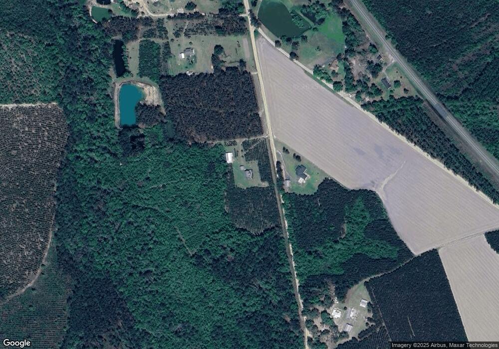
Map
Nearby Homes
- Tbd Albany Hwy
- Tbd Duncan Bridge Rd
- 3940 Cleve Rd
- S S River Rd
- 26 Acres Telmore-Dixie Union Rd
- 4606 Dukes Rd
- 6176 Perch Creek Trail
- 0 Perch Creek Trail Unit 10600480
- 0 Odum Rd
- 1398 Adventure Trail
- 4427 Pine Valley Rd
- 4545 Oak View Cir
- 4525 Oak View Rd
- 4535 Oak View Cir
- 4263 N River Rd
- 82 Old 122 Hwy E
- 1125 Barn Owl Ln
- 2395 N Clough Bay Rd
- 4818 Lovett Rd
- 0 Grey Hawk Rd