48920 Summit Rd Neskowin, OR 97149
Estimated Value: $676,947 - $1,491,000
3
Beds
2
Baths
2,008
Sq Ft
$485/Sq Ft
Est. Value
About This Home
This home is located at 48920 Summit Rd, Neskowin, OR 97149 and is currently estimated at $973,487, approximately $484 per square foot. 48920 Summit Rd is a home with nearby schools including Nestucca K-8 School and Nestucca High School.
Create a Home Valuation Report for This Property
The Home Valuation Report is an in-depth analysis detailing your home's value as well as a comparison with similar homes in the area
Home Values in the Area
Average Home Value in this Area
Tax History Compared to Growth
Tax History
| Year | Tax Paid | Tax Assessment Tax Assessment Total Assessment is a certain percentage of the fair market value that is determined by local assessors to be the total taxable value of land and additions on the property. | Land | Improvement |
|---|---|---|---|---|
| 2024 | $4,892 | $391,170 | $149,780 | $241,390 |
| 2023 | $4,903 | $379,780 | $145,420 | $234,360 |
| 2022 | $4,731 | $368,720 | $141,180 | $227,540 |
| 2021 | $4,599 | $357,990 | $137,070 | $220,920 |
| 2020 | $4,487 | $347,570 | $133,080 | $214,490 |
| 2019 | $4,327 | $337,450 | $129,200 | $208,250 |
| 2018 | $3,994 | $327,630 | $125,440 | $202,190 |
| 2017 | $3,537 | $318,090 | $121,790 | $196,300 |
| 2016 | $3,225 | $308,830 | $118,240 | $190,590 |
| 2015 | $3,356 | $301,430 | $116,280 | $185,150 |
| 2014 | $3,199 | $285,670 | $117,260 | $168,410 |
| 2013 | -- | $277,333 | $108,213 | $169,120 |
Source: Public Records
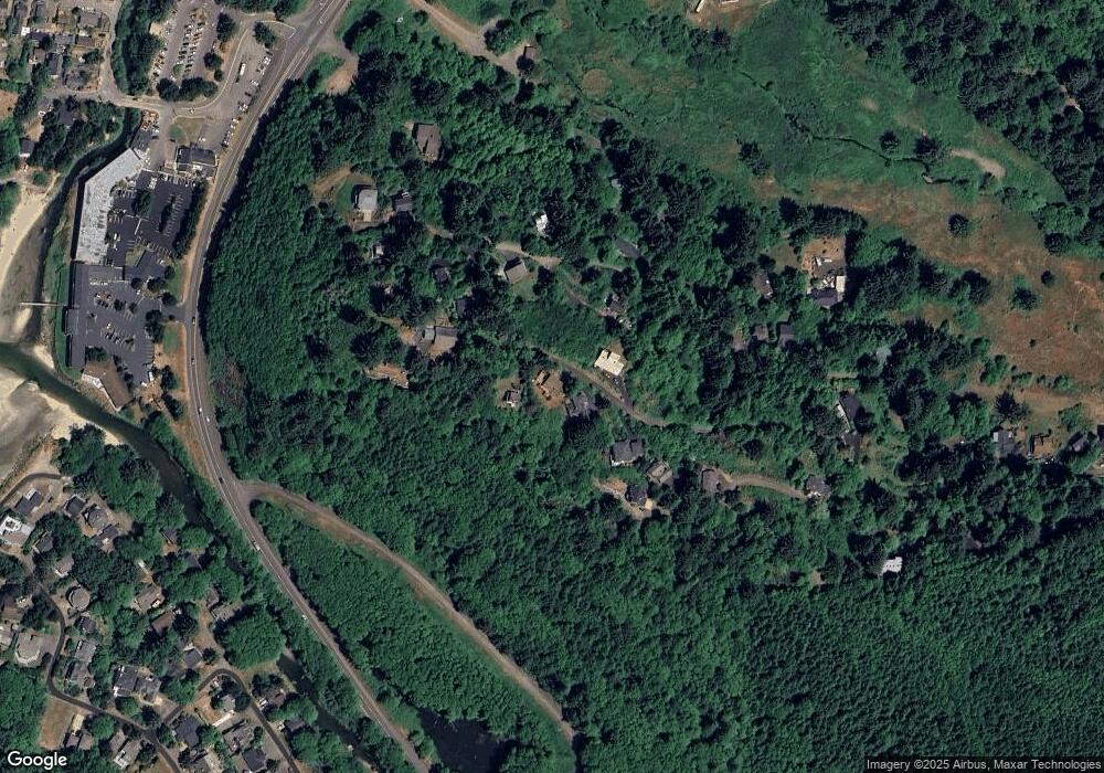
Map
Nearby Homes
- 4800 Blk Valley View Dr Tl 4000
- 0 Hilltop Ln Unit 704164730
- 49002 U S 101 S
- 48988 S Highway 101 (#338) Hwy
- 49002 S Hwy Unit B share B
- 48988 Highway 101 S Unit 338
- 48988 Highway 101 S Unit 137-F
- 4850 Schoolhouse Rd
- 6600 Schoolhouse Rd
- 0 S Fairway Rd Unit 653571953
- 0 S Fairway Rd Unit 315656510
- 0 S Fairway Rd Unit 454757988
- TL 3102 S Beach Rd
- 3102 S Beach Rd
- 48250 Hawk St
- 49400 Blk Nescove Dr Tl303
- 49750 Nescove Dr
- 49855 Seasand Rd
- 50040 S Beach Rd
- TL 4400 Rocky Cove Way
- 48890 Summit Rd
- 48940 Summit Rd
- 48945 Summit Rd
- 0 Sea Ridge Ln Unit 4500 19146786
- 0 Sea Ridge Ln
- 48944 Summit Rd
- 48940 Ridge Ln
- 48840 Summit Ln
- 38840 Summit Ln
- 48915 Valley View Dr
- 4775 Valley View Dr
- 48865 Summit Rd
- 0 Ridge Ln Unit 22-476
- 0 Ridge Ln Unit 4800 21121134
- 0 Ridge Ln Unit 4800 19340365
- 0 Summit Ln Unit 684867
- 0 Summit Ln Unit 15-1945
- 0 Summit Ln Unit 15-15
- 0 Summit Ln Unit 93-50532
- 0 Summit Ln Unit 17-747