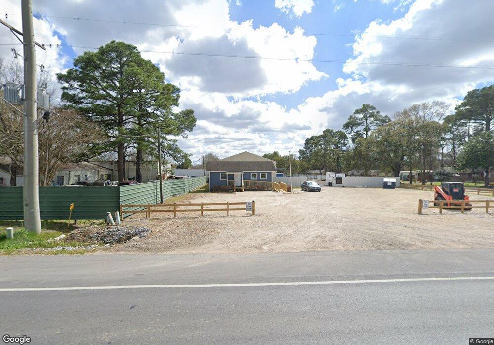
4895 Cameron St Lafayette, LA 70506
Central Lafayette Parish NeighborhoodEstimated Value: $292,440
Studio
--
Bath
4,600
Sq Ft
$64/Sq Ft
Est. Value
About This Home
This home is located at 4895 Cameron St, Lafayette, LA 70506 and is currently priced at $292,440, approximately $63 per square foot. 4895 Cameron St is a home located in Lafayette Parish with nearby schools including Westside Elementary School, Scott Middle School, and Acadiana High School.
Ownership History
Date
Name
Owned For
Owner Type
Purchase Details
Closed on
May 30, 2024
Sold by
Prestige Funding Llc
Bought by
Lafayette Limo & Trolley Llc
Current Estimated Value
Home Financials for this Owner
Home Financials are based on the most recent Mortgage that was taken out on this home.
Original Mortgage
$232,000
Outstanding Balance
$227,633
Interest Rate
7.1%
Mortgage Type
Credit Line Revolving
Purchase Details
Closed on
Jan 23, 2023
Sold by
Gene Robin Towing Inc
Bought by
Prestige Funding Llc
Create a Home Valuation Report for This Property
The Home Valuation Report is an in-depth analysis detailing your home's value as well as a comparison with similar homes in the area
Home Values in the Area
Average Home Value in this Area
Purchase History
| Date | Buyer | Sale Price | Title Company |
|---|---|---|---|
| Lafayette Limo & Trolley Llc | $290,000 | None Listed On Document | |
| Prestige Funding Llc | $243,750 | -- |
Source: Public Records
Mortgage History
| Date | Status | Borrower | Loan Amount |
|---|---|---|---|
| Open | Lafayette Limo & Trolley Llc | $232,000 |
Source: Public Records
Tax History
| Year | Tax Paid | Tax Assessment Tax Assessment Total Assessment is a certain percentage of the fair market value that is determined by local assessors to be the total taxable value of land and additions on the property. | Land | Improvement |
|---|---|---|---|---|
| 2025 | $1,784 | $19,867 | $5,227 | $14,640 |
| 2024 | $1,808 | $19,867 | $5,227 | $14,640 |
| 2023 | $1,808 | $15,913 | $5,227 | $10,686 |
| 2022 | $1,447 | $15,913 | $5,227 | $10,686 |
| 2021 | $1,306 | $14,310 | $5,227 | $9,083 |
| 2020 | $1,300 | $14,310 | $5,227 | $9,083 |
| 2019 | $1,377 | $15,913 | $5,227 | $10,686 |
| 2018 | $1,390 | $15,913 | $5,227 | $10,686 |
| 2017 | $1,388 | $15,913 | $0 | $0 |
Source: Public Records
Map
Nearby Homes
- 106 Sylvia St
- 120 Galbert Rd
- 111 Offord St
- 105 Leahy Dr
- 219 Notre Dame Dr
- 414 Lauren Dr
- 229 Alpine Dr
- 221 Alpine Dr
- 308 Berchman Oaks Dr
- 108 Fig St
- 213 Olive Vista Dr
- 216 Berchman Oaks Dr
- 103 Berchman Oaks Dr
- 103 Fig St
- 2518 Walker Rd
- 113 Des Jacques Rd
- 400 Cheyenne Cir
- 117 Winbourne Ave
- 129 Harvest Pointe Cir
- 1301 Avenue A
- 4903 Cameron St
- 4805 Cameron St
- 100 Benman Rd
- 4905-4907 Cameron St
- 106 Knightwood Ln
- 4907 Cameron St
- 111 Maywood St
- 109 Maywood St
- 107 Maywood St
- 112 Benman Rd
- 105 Maywood St
- 109 Domisto St
- 110 Maywood St
- 104 Maywood St
- 4913 Cameron St
- 5003 Cameron St
- 100 Maywood St
- 9 Benman Rd
- 0 Benman Rd
- 120 Benman Rd
Your Personal Tour Guide
Ask me questions while you tour the home.