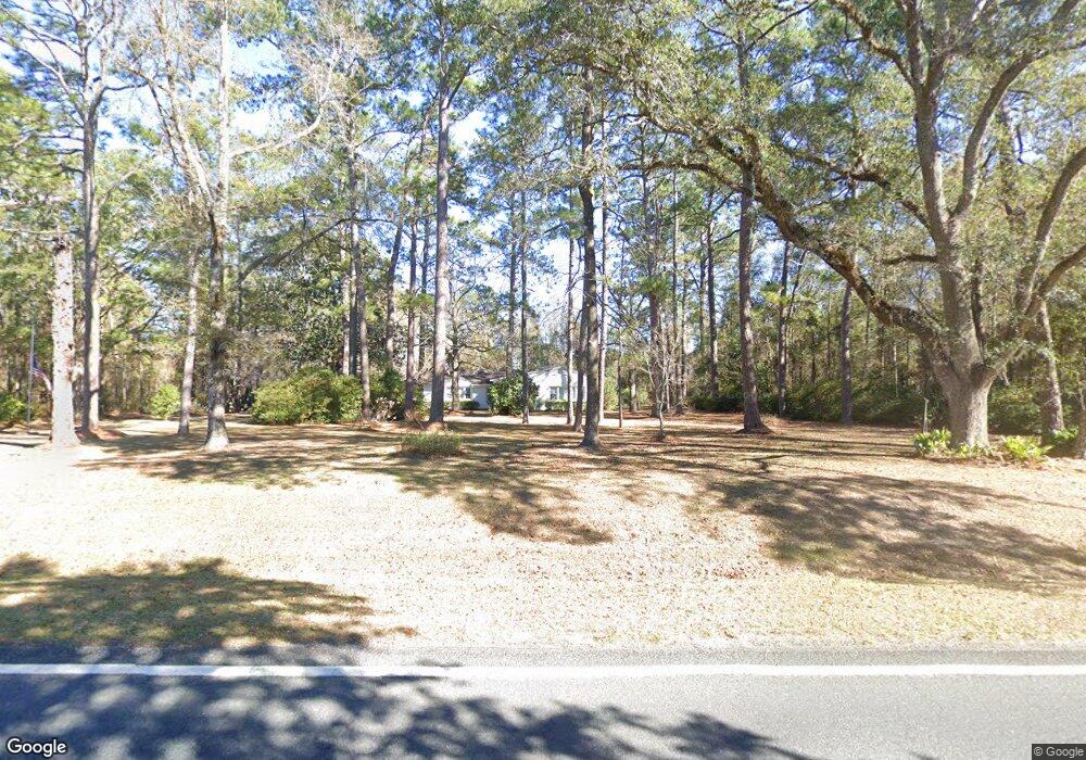
4895 Fowlstown Rd Attapulgus, GA 39815
Estimated Value: $212,000 - $509,000
--
Bed
1
Bath
2,362
Sq Ft
$137/Sq Ft
Est. Value
About This Home
This home is located at 4895 Fowlstown Rd, Attapulgus, GA 39815 and is currently estimated at $323,277, approximately $136 per square foot. 4895 Fowlstown Rd is a home located in Decatur County with nearby schools including Bainbridge High School.
Ownership History
Date
Name
Owned For
Owner Type
Purchase Details
Closed on
May 17, 2005
Sold by
Shelton Virginia M
Bought by
Shelton Virginia M and Shelton Jackson G
Current Estimated Value
Home Financials for this Owner
Home Financials are based on the most recent Mortgage that was taken out on this home.
Original Mortgage
$63,500
Outstanding Balance
$31,306
Interest Rate
5%
Mortgage Type
New Conventional
Estimated Equity
$291,971
Create a Home Valuation Report for This Property
The Home Valuation Report is an in-depth analysis detailing your home's value as well as a comparison with similar homes in the area
Home Values in the Area
Average Home Value in this Area
Purchase History
| Date | Buyer | Sale Price | Title Company |
|---|---|---|---|
| Shelton Virginia M | -- | -- | |
| Shelton Virginia M | -- | -- | |
| Shelton Virginia M | -- | -- |
Source: Public Records
Mortgage History
| Date | Status | Borrower | Loan Amount |
|---|---|---|---|
| Open | Shelton Virginia M | $63,500 |
Source: Public Records
Tax History Compared to Growth
Tax History
| Year | Tax Paid | Tax Assessment Tax Assessment Total Assessment is a certain percentage of the fair market value that is determined by local assessors to be the total taxable value of land and additions on the property. | Land | Improvement |
|---|---|---|---|---|
| 2024 | $2,074 | $70,866 | $16,141 | $54,725 |
| 2023 | $1,651 | $70,866 | $16,141 | $54,725 |
| 2022 | $1,855 | $65,756 | $11,840 | $53,916 |
| 2021 | $1,697 | $59,230 | $10,560 | $48,670 |
| 2020 | $1,460 | $48,730 | $10,560 | $38,170 |
| 2019 | $1,350 | $43,635 | $10,560 | $33,075 |
| 2018 | $1,334 | $43,635 | $10,560 | $33,075 |
| 2017 | $1,369 | $43,635 | $10,560 | $33,075 |
| 2016 | $1,360 | $45,336 | $12,261 | $33,075 |
| 2015 | $1,379 | $45,336 | $12,261 | $33,075 |
| 2014 | $1,203 | $45,336 | $12,261 | $33,075 |
| 2013 | -- | $45,336 | $12,260 | $33,075 |
Source: Public Records
Map
Nearby Homes
- 90 David Clemons Rd
- 140 David Clemons Rd
- 8701 Salem Rd
- 0 Clay St
- 110 E Griffin Ave
- 0 Pt Milligan Rd Unit 778755
- 630 Boyette Cir
- Lot 33 McGriff St
- 2065 Wayside Farm Rd
- Vacant Cox Rd
- 226 My St
- 0 Bettstown Rd
- 405 Cox Rd
- XXXX Old Philadelphia Church Rd
- Cox Rd
- 111 Burnt Pine Trail
- 100 Burnt Pine Trail
- 95 Alpine Heights Dr
- 95 Dons Ln
- 185 Maggies Dr
- 4908 Fowlstown Rd
- 1315 Quincy Hwy
- 4915 Fowlstown Rd
- 4933 Fowlstown Rd
- 1325 Quincy Hwy
- 5318 Fowlstown Rd
- 0000 (4 Acres) Quincy Hwy
- 4947 Fowlstown Rd
- 1390 Quincy Hwy
- 9178 Salem Rd
- 9387 Salem Rd
- 9395 Salem Rd
- 9044 Salem Rd
- 1401 Quincy Hwy
- 1429 Quincy Hwy
- 1419 Quincy Hwy
- 979 Dodger Ball Park Rd
- 1226 Dodger Ball Park Rd
- 1150 Quincy Hwy
- 1186 Dodger Ball Park Rd