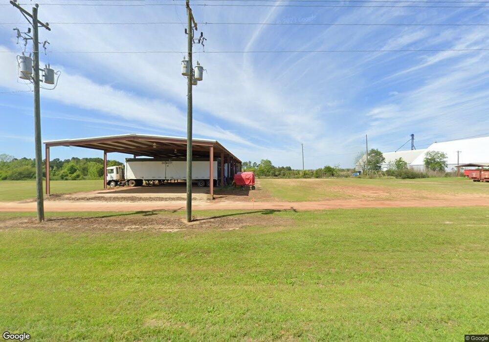
4895 Ga Highway 133 N Doerun, GA 31744
Estimated Value: $188,317 - $286,000
--
Bed
2
Baths
2,154
Sq Ft
$111/Sq Ft
Est. Value
About This Home
This home is located at 4895 Ga Highway 133 N, Doerun, GA 31744 and is currently estimated at $239,079, approximately $110 per square foot. 4895 Ga Highway 133 N is a home located in Colquitt County with nearby schools including Doerun Elementary School, C.A. Gray Junior High School, and Willie J. Williams Middle School.
Ownership History
Date
Name
Owned For
Owner Type
Purchase Details
Closed on
Apr 17, 2008
Sold by
Demott Pamela S
Bought by
Demott Millard Brett
Current Estimated Value
Purchase Details
Closed on
Feb 10, 2006
Sold by
Demott Millard Brett
Bought by
No Lack Properties Llc
Purchase Details
Closed on
Dec 29, 2005
Sold by
Demott Charity Rosenna
Bought by
Demott Millard Brett and Demott Pamela Steel
Purchase Details
Closed on
May 22, 1979
Bought by
Demott Millard Brett
Create a Home Valuation Report for This Property
The Home Valuation Report is an in-depth analysis detailing your home's value as well as a comparison with similar homes in the area
Home Values in the Area
Average Home Value in this Area
Purchase History
| Date | Buyer | Sale Price | Title Company |
|---|---|---|---|
| Demott Millard Brett | -- | -- | |
| No Lack Properties Llc | -- | -- | |
| Demott Millard Brett | -- | -- | |
| Demott Millard Brett | -- | -- |
Source: Public Records
Tax History Compared to Growth
Tax History
| Year | Tax Paid | Tax Assessment Tax Assessment Total Assessment is a certain percentage of the fair market value that is determined by local assessors to be the total taxable value of land and additions on the property. | Land | Improvement |
|---|---|---|---|---|
| 2024 | $1,435 | $60,405 | $5,901 | $54,504 |
| 2023 | $1,274 | $48,886 | $5,901 | $42,985 |
| 2022 | $1,056 | $44,342 | $5,246 | $39,096 |
| 2021 | $957 | $39,401 | $5,246 | $34,155 |
| 2020 | $910 | $36,827 | $5,246 | $31,581 |
| 2019 | $965 | $35,112 | $5,246 | $29,866 |
| 2018 | $898 | $35,112 | $5,246 | $29,866 |
| 2017 | $872 | $32,058 | $2,192 | $29,866 |
| 2016 | $884 | $32,058 | $2,192 | $29,866 |
| 2015 | $884 | $32,057 | $2,192 | $29,866 |
| 2014 | $868 | $31,770 | $2,192 | $29,578 |
| 2013 | -- | $31,769 | $2,191 | $29,578 |
Source: Public Records
Map
Nearby Homes
- 318 E Culpepper Ave
- 512 Hagin Still Rd
- 0 Sam Sells Rd
- 417 W Bay Ave
- 511 W Broad Ave
- 715 W Robinson Ave
- 104 Union Ln
- 825 N Green St
- 1791 Funston Sigsbee Rd
- 1485 Bay Rd
- 378 Old S R 33
- 340 Belk Rd
- 102 Schley Church Rd
- 00 Rossman Dairy Rd
- 372 Westwoods Dr Unit 21
- 2329 Evergreen Rd
- LOT 29 Merganser Ln
- LOT 32 Merganser Ln
- LOT 28 Merganser Ln
- LOT 26 Merganser Ln
- 4894 Ga Highway 133 N
- 4976 Ga Highway 133 N
- 4842 Ga Highway 133 N
- 4776 Ga Highway 133 N
- 4726 Ga Highway 133 N
- 1664 Hagin Still Rd
- 1590 Hagin Still Rd
- 1576 Hagin Still Rd
- 312 Dona Turner Rd
- 5168 Ga Highway 133 N
- 558 Mike Horne Rd
- 250 Massey Rd
- 2180 Funston Doerun Rd
- 2194 Funston Doerun Rd
- 2150 Funston Doerun Rd
- 5278 Ga Highway 133 N
- 2175 Funston Doerun Rd
- 5290 Ga Highway 133 N
- 318 Mike Horne Rd
- 5300 Ga Highway 133 N