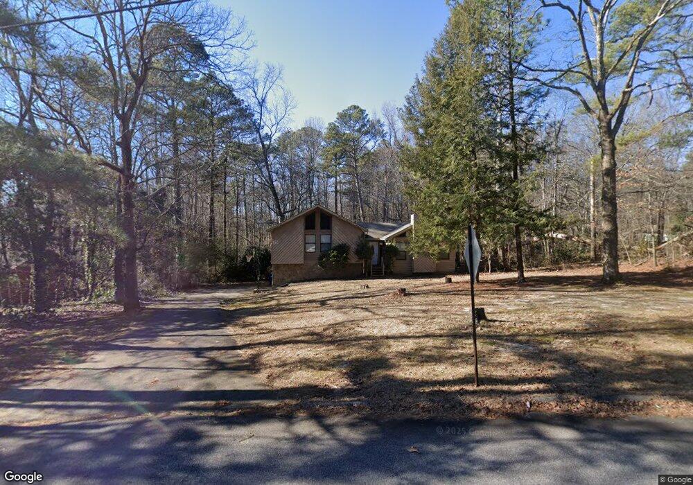
4895 Mockingbird Ln Douglasville, GA 30135
Bill Arp NeighborhoodEstimated Value: $254,501 - $295,000
3
Beds
3
Baths
1,468
Sq Ft
$184/Sq Ft
Est. Value
About This Home
This home is located at 4895 Mockingbird Ln, Douglasville, GA 30135 and is currently estimated at $270,375, approximately $184 per square foot. 4895 Mockingbird Ln is a home located in Douglas County with nearby schools including Bill Arp Elementary School, Yeager Middle School, and Alexander High School.
Ownership History
Date
Name
Owned For
Owner Type
Purchase Details
Closed on
Sep 28, 1999
Sold by
Tyson Charles R
Bought by
Ellis David G
Current Estimated Value
Home Financials for this Owner
Home Financials are based on the most recent Mortgage that was taken out on this home.
Original Mortgage
$95,695
Outstanding Balance
$28,740
Interest Rate
7.76%
Mortgage Type
FHA
Estimated Equity
$241,635
Create a Home Valuation Report for This Property
The Home Valuation Report is an in-depth analysis detailing your home's value as well as a comparison with similar homes in the area
Home Values in the Area
Average Home Value in this Area
Purchase History
| Date | Buyer | Sale Price | Title Company |
|---|---|---|---|
| Ellis David G | $99,000 | -- |
Source: Public Records
Mortgage History
| Date | Status | Borrower | Loan Amount |
|---|---|---|---|
| Open | Ellis David G | $95,695 |
Source: Public Records
Tax History Compared to Growth
Tax History
| Year | Tax Paid | Tax Assessment Tax Assessment Total Assessment is a certain percentage of the fair market value that is determined by local assessors to be the total taxable value of land and additions on the property. | Land | Improvement |
|---|---|---|---|---|
| 2024 | $1,834 | $73,240 | $14,080 | $59,160 |
| 2023 | $1,834 | $60,560 | $12,800 | $47,760 |
| 2022 | $1,642 | $60,560 | $12,800 | $47,760 |
| 2021 | $1,497 | $53,200 | $10,120 | $43,080 |
| 2020 | $1,527 | $53,200 | $10,120 | $43,080 |
| 2019 | $1,419 | $51,880 | $10,120 | $41,760 |
| 2018 | $1,395 | $50,360 | $10,120 | $40,240 |
| 2017 | $1,313 | $45,440 | $10,120 | $35,320 |
| 2016 | $1,071 | $36,520 | $8,440 | $28,080 |
| 2015 | $964 | $32,600 | $7,720 | $24,880 |
| 2014 | $827 | $27,964 | $7,120 | $20,844 |
| 2013 | -- | $25,492 | $6,480 | $19,012 |
Source: Public Records
Map
Nearby Homes
- 4766 Mockingbird Ln
- 3976 Bright Star Rd
- 3980 Highway 5
- 3948 Bright Star Rd
- 6464 Westerly Way
- 4016 Nations Dr
- 4045 Westview St
- 3950 Sherwood Dr
- 4153 Wells Cir
- 4099 Highway 5
- 6653 Prinston Cir
- 3850 Bright Star Rd
- 6407 Shore Dr
- 3964 Wedgewood Dr
- 20 Roper Dr
- 3829 Bright Star Rd
- 6549 Biscayne Way
- 3756 Bright Star Rd
- 4901 Mockingbird Ln
- 4885 Mockingbird Ln
- 6620 Pine Knotch Dr Unit 3
- 4896 Mockingbird Ln
- 6651 Pine Knotch Dr
- 6540 Pine Knotch Dr
- 6630 Pine Knotch Dr Unit 3
- 6605 Pine Knotch Dr Unit 1
- 4875 Mockingbird Ln
- 4916 Mockingbird Ln
- 4850 Mockingbird Ln
- 6615 Pine Knotch Dr
- 4865 Mockingbird Ln
- 4765 Mockingbird Ln
- 6640 Pine Knotch Dr
- 4925 Mockingbird Ln
- 6625 Pine Knotch Dr
- 4102 Knotty Oak Trail
- 4094 Knotty Oak Trail
- 6565 Pine Knotch Dr Unit 2