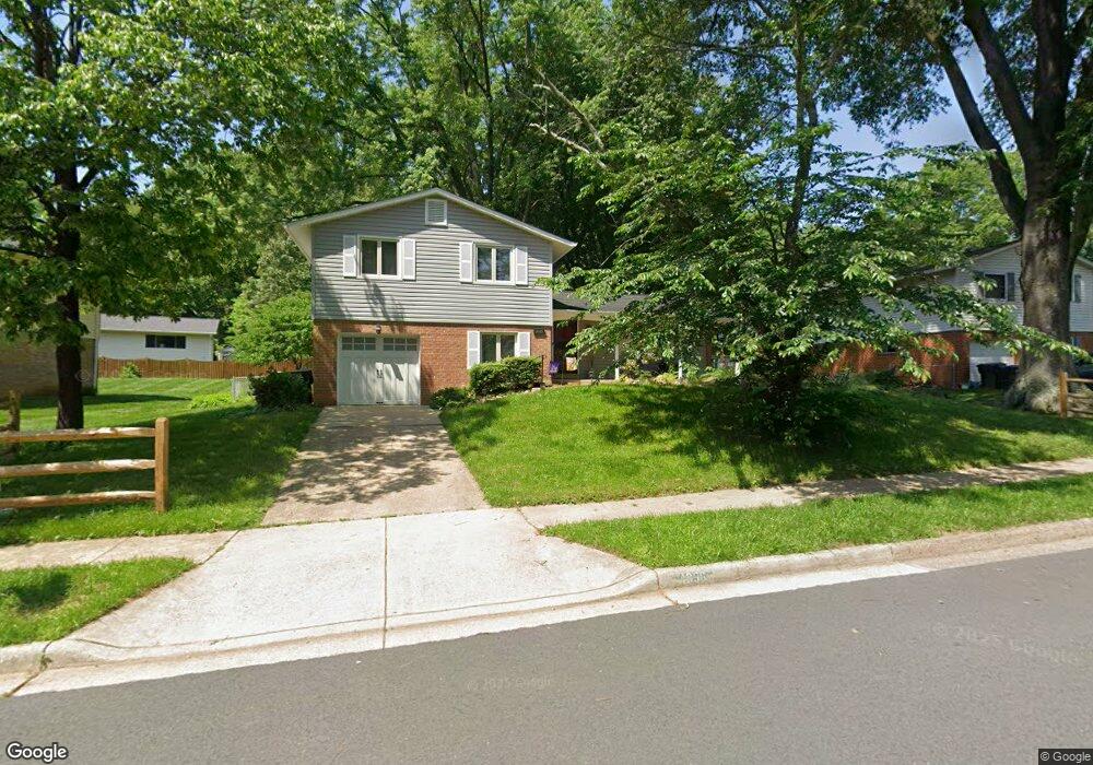
4896 Wheatstone Dr Fairfax, VA 22032
Estimated Value: $806,195 - $894,000
4
Beds
3
Baths
1,409
Sq Ft
$603/Sq Ft
Est. Value
About This Home
This home is located at 4896 Wheatstone Dr, Fairfax, VA 22032 and is currently estimated at $849,799, approximately $603 per square foot. 4896 Wheatstone Dr is a home located in Fairfax County with nearby schools including Laurel Ridge Elementary School, James W Robinson, Jr. Secondary School, and St Anthony Academy.
Ownership History
Date
Name
Owned For
Owner Type
Purchase Details
Closed on
Aug 3, 2023
Sold by
Cruz Francisco A and Cruz Andrea Lynn
Bought by
Cruz Family Trust and Cruz
Current Estimated Value
Purchase Details
Closed on
Sep 30, 2002
Sold by
Wilfred J Jaster Tr
Bought by
Cruz Andrea L
Home Financials for this Owner
Home Financials are based on the most recent Mortgage that was taken out on this home.
Original Mortgage
$284,400
Interest Rate
6.27%
Create a Home Valuation Report for This Property
The Home Valuation Report is an in-depth analysis detailing your home's value as well as a comparison with similar homes in the area
Home Values in the Area
Average Home Value in this Area
Purchase History
| Date | Buyer | Sale Price | Title Company |
|---|---|---|---|
| Cruz Family Trust | -- | None Listed On Document | |
| Cruz Andrea L | $355,500 | -- |
Source: Public Records
Mortgage History
| Date | Status | Borrower | Loan Amount |
|---|---|---|---|
| Previous Owner | Cruz Andrea L | $284,400 |
Source: Public Records
Tax History Compared to Growth
Tax History
| Year | Tax Paid | Tax Assessment Tax Assessment Total Assessment is a certain percentage of the fair market value that is determined by local assessors to be the total taxable value of land and additions on the property. | Land | Improvement |
|---|---|---|---|---|
| 2025 | $8,645 | $796,070 | $286,000 | $510,070 |
| 2024 | $8,645 | $746,210 | $281,000 | $465,210 |
| 2023 | $8,608 | $762,820 | $281,000 | $481,820 |
| 2022 | $7,692 | $672,680 | $256,000 | $416,680 |
| 2021 | $6,996 | $596,170 | $236,000 | $360,170 |
| 2020 | $6,814 | $575,730 | $221,000 | $354,730 |
| 2019 | $6,640 | $561,070 | $216,000 | $345,070 |
| 2018 | $6,198 | $538,980 | $216,000 | $322,980 |
| 2017 | $5,999 | $516,730 | $206,000 | $310,730 |
| 2016 | $5,696 | $491,680 | $191,000 | $300,680 |
| 2015 | $5,487 | $491,680 | $191,000 | $300,680 |
| 2014 | $5,330 | $478,700 | $181,000 | $297,700 |
Source: Public Records
Map
Nearby Homes
- 4773 Farndon Ct
- 4768 Farndon Ct
- 10476 Malone Ct
- 10462 Malone Ct
- 10444 Malone Ct
- 10255 Braddock Rd
- 10271 Braddock Rd
- 9755 Abington Ct
- 10425 Carriagepark Ct
- 10017 Whitefield St
- 5207 Mornington Ct
- 10431 Headly Ct
- 10429 Headly Ct
- 10134 Red Spruce Rd
- 9896 Becket Ct
- 5207 Stonington Dr
- 10116 Dundalk St
- 4511 Overcup Ct
- 9883 Becket Ct
- 10196 Red Spruce Rd
- 4894 Wheatstone Dr
- 4898 Wheatstone Dr
- 10202 Bessmer Ln
- 4955 Swinton Dr
- 4957 Swinton Dr
- 4951 Swinton Dr
- 4897 Wheatstone Dr
- 4895 Wheatstone Dr
- 4959 Swinton Dr
- 10204 Bessmer Ln
- 10198 Bessmer Ln
- 4893 Wheatstone Dr
- 10201 Bessmer Ln
- 4961 Swinton Dr
- 10203 Bessmer Ln
- 4891 Wheatstone Dr
- 10206 Bessmer Ln
- 4901 Wheatstone Dr
- 4963 Swinton Dr
- 4956 Swinton Dr