48981 State Route 800 Woodsfield, OH 43793
Estimated Value: $128,000 - $147,298
About This Home
This home is located at 48981 State Route 800, Woodsfield, OH 43793 and is currently estimated at $136,433, approximately $94 per square foot. 48981 State Route 800 is a home located in Monroe County with nearby schools including Woodsfield Elementary School, Monroe Central High School, and St Sylvester Central School.
Ownership History
We collect this data history from publicly available records. To have your information removed, we recommend requesting removal directly through your county’s website.
Purchase Details
Purchase Details
Purchase Details
Purchase Details
Purchase Details
Purchase History
We collect this data history from publicly available records. To have your information removed, we recommend requesting removal directly through your county’s website.
| Date | Buyer | Sale Price | Title Company |
|---|---|---|---|
| -- | None Listed On Document | ||
| $1,570,000 | None Available | ||
| -- | None Available | ||
| -- | -- | ||
| -- | -- |
Tax History
We collect this data history from publicly available records. To have your information removed, we recommend requesting removal directly through your county’s website.
| Year | Tax Paid | Tax Assessment Tax Assessment Total Assessment is a certain percentage of the fair market value that is determined by local assessors to be the total taxable value of land and additions on the property. | Land | Improvement |
|---|---|---|---|---|
| 2025 | $97 | $3,100 | $3,100 | $0 |
| 2024 | $1,024 | $42,180 | $14,450 | $27,730 |
| 2023 | $1,024 | $42,180 | $14,450 | $27,730 |
| 2022 | $1,056 | $42,180 | $14,450 | $27,730 |
| 2021 | $967 | $38,910 | $12,650 | $26,260 |
| 2020 | $967 | $38,910 | $12,650 | $26,260 |
| 2019 | $947 | $38,860 | $12,600 | $26,260 |
| 2018 | $969 | $38,320 | $13,310 | $25,010 |
| 2017 | $973 | $38,320 | $13,310 | $25,010 |
| 2016 | $986 | $38,320 | $13,310 | $25,010 |
| 2015 | $989 | $37,080 | $14,660 | $22,420 |
| 2014 | $989 | $37,080 | $14,660 | $22,420 |
| 2013 | -- | $29,430 | $7,660 | $21,770 |
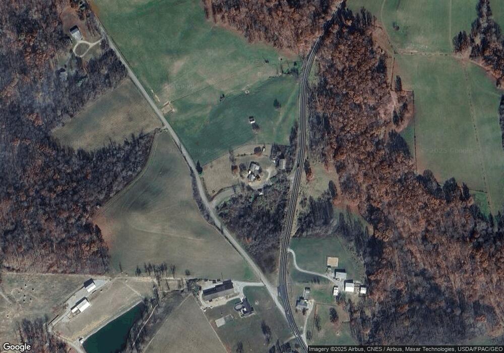
Map
- 50877 Moore Ridge Rd
- 36735 Ohio 78
- 339 Guilford Ave
- 220 Oaklawn Ave
- 208 Center St
- 36575 Ohio 78
- 108 Oaklawn Ave
- 551 Lewisville Rd
- 39785 Gun Club Rd
- 207 S Sycamore St
- 108 S Paul St
- 204 & 206 W Marietta St
- 50911 State Route 26
- 402 E Marietta St
- 407 High St
- 162 Andover Rd
- 204 N 4th St
- 172 Andover Rd
- 500 E Marietta St
- 508 E Marietta St
- 37967 County Road 2e
- 48610 State Route 800
- 48555 State Route 800
- 37771 County Road 2e
- 37700 Township Road 35
- 48490 State Route 800
- 48467 State Route 800
- 37666 County Road 2e
- 49190 State Route 800
- 37641 County Road 2e
- 48334 State Route 800
- 49251 State Route 800
- 37570 County Road 2e
- 37574 County Road 2e
- 48313 State Route 800
- 37561 County Road 2e
- 48425 State Route 800
- 49286 State Route 800
- 49412 Patton Rd
- 49404 State Route 800
Ask me questions while you tour the home.