48985 The Point Neskowin, OR 97149
Estimated Value: $1,125,000 - $1,367,000
4
Beds
3
Baths
2,518
Sq Ft
$495/Sq Ft
Est. Value
About This Home
This home is located at 48985 The Point, Neskowin, OR 97149 and is currently estimated at $1,245,845, approximately $494 per square foot. 48985 The Point is a home with nearby schools including Nestucca K-8 School and Nestucca High School.
Ownership History
Date
Name
Owned For
Owner Type
Purchase Details
Closed on
Dec 30, 2019
Sold by
Foti Frank Joseph
Bought by
Smola Foti Brenda and The Nate Foti Trust
Current Estimated Value
Purchase Details
Closed on
Jun 26, 2009
Sold by
Schiffhauer Jane Marie
Bought by
Foti Frank Joseph
Purchase Details
Closed on
Jul 30, 2005
Sold by
Point Partners Llc
Bought by
Foti Frank and Schiffhauer Jane
Create a Home Valuation Report for This Property
The Home Valuation Report is an in-depth analysis detailing your home's value as well as a comparison with similar homes in the area
Home Values in the Area
Average Home Value in this Area
Purchase History
| Date | Buyer | Sale Price | Title Company |
|---|---|---|---|
| Smola Foti Brenda | -- | None Available | |
| Foti Frank Joseph | -- | None Available | |
| Foti Frank | -- | -- |
Source: Public Records
Tax History Compared to Growth
Tax History
| Year | Tax Paid | Tax Assessment Tax Assessment Total Assessment is a certain percentage of the fair market value that is determined by local assessors to be the total taxable value of land and additions on the property. | Land | Improvement |
|---|---|---|---|---|
| 2024 | $10,951 | $888,930 | $432,620 | $456,310 |
| 2023 | $10,977 | $863,040 | $420,020 | $443,020 |
| 2022 | $10,586 | $837,910 | $407,790 | $430,120 |
| 2021 | $10,286 | $813,510 | $395,910 | $417,600 |
| 2020 | $10,029 | $789,820 | $384,380 | $405,440 |
| 2019 | $9,818 | $766,820 | $373,180 | $393,640 |
| 2018 | $9,060 | $744,490 | $362,310 | $382,180 |
| 2017 | $8,154 | $722,810 | $351,760 | $371,050 |
| 2016 | $7,506 | $701,760 | $341,510 | $360,250 |
| 2015 | $7,758 | $681,330 | $331,560 | $349,770 |
| 2014 | $7,573 | $661,490 | $321,900 | $339,590 |
| 2013 | -- | $642,230 | $312,520 | $329,710 |
Source: Public Records
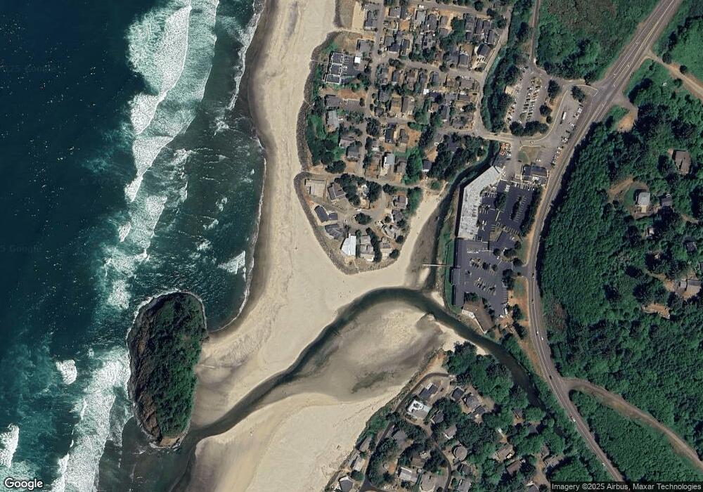
Map
Nearby Homes
- 48988 Highway 101 S Unit 338
- 48988 Highway 101 S Unit 137-F
- 49002 S Hwy Unit B share B
- 49002 U S 101 S
- 48988 S Highway 101 (#338) Hwy
- 49400 Blk Nescove Dr Tl303
- 4800 Blk Valley View Dr Tl 4000
- 6600 Schoolhouse Rd
- 48250 Hawk St
- 4850 Schoolhouse Rd
- TL 3102 S Beach Rd
- 3102 S Beach Rd
- 0 Hilltop Ln Unit 704164730
- 49750 Nescove Dr
- 49855 Seasand Rd
- 0 S Fairway Rd Unit 653571953
- 0 S Fairway Rd Unit 315656510
- 0 S Fairway Rd Unit 454757988
- 50040 S Beach Rd
- TL 4400 Rocky Cove Way
- 48985 The Point
- 48975 The Point
- 48995 The Point
- 48995 The Point
- 48965 The Point
- 5 The Point
- 48980 The Point
- 48945 The Point
- 48910 The Point
- 48960 The Point
- 48925 The Point
- 48915 The Point
- 48970 The Point
- 48970 The Point
- 80205 Breakers Blvd Unit 5, Bdg. A
- 80113 Breakers Blvd Unit 13
- 48880 Breakers Blvd
- 4320 Carlton Ave
- 4340 Carlton Ave
- 4360 Carlton Ave