4899 Parsons Green Ln Charlottesville, VA 22903
Estimated Value: $809,000 - $1,163,000
4
Beds
3
Baths
2,719
Sq Ft
$375/Sq Ft
Est. Value
About This Home
This home is located at 4899 Parsons Green Ln, Charlottesville, VA 22903 and is currently estimated at $1,018,768, approximately $374 per square foot. 4899 Parsons Green Ln is a home located in Albemarle County with nearby schools including Brownsville Elementary School, Joseph T. Henley Middle School, and Western Albemarle High School.
Ownership History
Date
Name
Owned For
Owner Type
Purchase Details
Closed on
Mar 25, 2010
Sold by
Marston John Haines
Bought by
Driscoll Loren A and Driscoll Megan L
Current Estimated Value
Home Financials for this Owner
Home Financials are based on the most recent Mortgage that was taken out on this home.
Original Mortgage
$43,000
Interest Rate
4.35%
Mortgage Type
Credit Line Revolving
Create a Home Valuation Report for This Property
The Home Valuation Report is an in-depth analysis detailing your home's value as well as a comparison with similar homes in the area
Home Values in the Area
Average Home Value in this Area
Purchase History
| Date | Buyer | Sale Price | Title Company |
|---|---|---|---|
| Driscoll Loren A | $575,000 | -- |
Source: Public Records
Mortgage History
| Date | Status | Borrower | Loan Amount |
|---|---|---|---|
| Closed | Driscoll Loren A | $43,000 |
Source: Public Records
Tax History Compared to Growth
Tax History
| Year | Tax Paid | Tax Assessment Tax Assessment Total Assessment is a certain percentage of the fair market value that is determined by local assessors to be the total taxable value of land and additions on the property. | Land | Improvement |
|---|---|---|---|---|
| 2025 | $7,809 | $873,500 | $281,300 | $592,200 |
| 2024 | -- | $814,800 | $281,300 | $533,500 |
| 2023 | $6,812 | $797,600 | $281,300 | $516,300 |
| 2022 | $5,848 | $684,800 | $243,800 | $441,000 |
| 2021 | $5,683 | $665,500 | $253,600 | $411,900 |
| 2020 | $5,194 | $608,200 | $225,200 | $383,000 |
| 2019 | $5,048 | $591,100 | $225,200 | $365,900 |
| 2018 | $4,512 | $551,900 | $243,900 | $308,000 |
| 2017 | $4,639 | $552,900 | $243,900 | $309,000 |
| 2016 | $4,254 | $507,000 | $243,900 | $263,100 |
| 2015 | $4,110 | $501,800 | $243,900 | $257,900 |
| 2014 | -- | $498,000 | $243,900 | $254,100 |
Source: Public Records
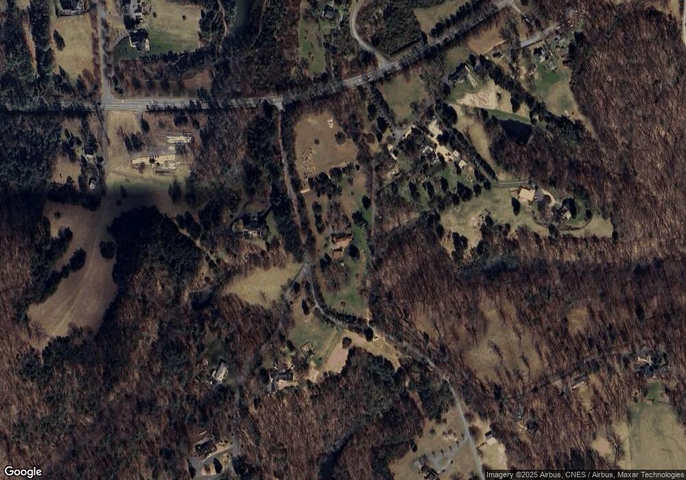
Map
Nearby Homes
- 455 Foxdale Ln
- 810 Carlyle Place
- 10 Eagle View Unit Lot 10 Fairhill Esta
- 10 Eagle View
- 5031 Clearfields Ct
- 6131 Westhall Dr
- 621 Jonna St
- 5626 Mckinley Ln
- 240 Broad Axe Rd
- 1043 Amber Ridge Rd
- 1980 Delila Dr
- 5547 Brookwood Rd
- 1727 Painted Sky Terrace
- 1365 Amber Ridge Rd
- 103 Park Ridge Dr
- 104 Park Ridge Dr
- 100 Park Ridge Dr
- 100A Park Ridge Dr
- 99A Park Ridge Dr
- 4869 Parsons Green Ln
- 363 Normandy Dr
- 4853 Parsons Green Ln
- 369 Normandy Dr
- 365 Normandy Dr
- 4833 Parsons Green Ln
- 0 Rockfish Gap Turnpike Unit 514272
- 0 Rockfish Gap Turnpike Unit 517080
- 0 Rockfish Gap Turnpike
- 4995 Rockfish Gap Turnpike
- 4839 Parsons Green Ln
- 4906 Rockfish Gap Turnpike Unit 2
- 4906 Rockfish Gap Turnpike
- 366 Normandy Dr
- 550 Hedgerow Ln
- 24 Foxdale Ln
- 0 Foxdale Ln
- 0 Foxdale Ln Unit 457436
- 0 Foxdale Ln Unit 529988
- 320 Home Port Ln