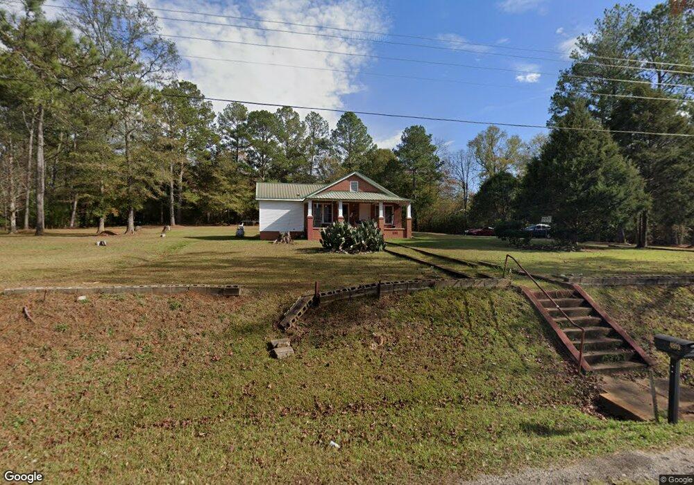
4899 Whitesville Rd Lagrange, GA 30240
Estimated Value: $135,294 - $621,000
2
Beds
2
Baths
1,000
Sq Ft
$280/Sq Ft
Est. Value
About This Home
This home is located at 4899 Whitesville Rd, Lagrange, GA 30240 and is currently estimated at $280,074, approximately $280 per square foot. 4899 Whitesville Rd is a home located in Troup County with nearby schools including Whitesville Road Elementary School, Rosemont Elementary School, and Berta Weathersbee Elementary School.
Ownership History
Date
Name
Owned For
Owner Type
Purchase Details
Closed on
Jul 13, 2023
Sold by
Stuart Lamar W
Bought by
Alsobrook Mitch
Current Estimated Value
Purchase Details
Closed on
Sep 1, 2000
Sold by
Wade Stuart
Bought by
Stuart Wade Family Enterprs Lp
Purchase Details
Closed on
Jun 13, 1991
Sold by
Wm M Owens
Bought by
Wade Stuart
Purchase Details
Closed on
Mar 1, 1986
Sold by
Clifford Owens
Bought by
Wm M Owens
Purchase Details
Closed on
Jan 1, 1946
Sold by
Jesse Owens
Bought by
Clifford Owens
Create a Home Valuation Report for This Property
The Home Valuation Report is an in-depth analysis detailing your home's value as well as a comparison with similar homes in the area
Home Values in the Area
Average Home Value in this Area
Purchase History
| Date | Buyer | Sale Price | Title Company |
|---|---|---|---|
| Alsobrook Mitch | $135,000 | -- | |
| Stuart Wade Family Enterprs Lp | -- | -- | |
| Wade Stuart | $18,000 | -- | |
| Wm M Owens | -- | -- | |
| Clifford Owens | -- | -- |
Source: Public Records
Tax History Compared to Growth
Tax History
| Year | Tax Paid | Tax Assessment Tax Assessment Total Assessment is a certain percentage of the fair market value that is determined by local assessors to be the total taxable value of land and additions on the property. | Land | Improvement |
|---|---|---|---|---|
| 2024 | $931 | $34,120 | $5,000 | $29,120 |
| 2023 | $807 | $29,600 | $5,000 | $24,600 |
| 2022 | $769 | $27,560 | $5,000 | $22,560 |
| 2021 | $688 | $22,800 | $3,600 | $19,200 |
| 2020 | $688 | $22,800 | $3,600 | $19,200 |
| 2019 | $664 | $22,000 | $3,600 | $18,400 |
| 2018 | $613 | $20,320 | $3,600 | $16,720 |
| 2017 | $613 | $20,320 | $3,600 | $16,720 |
| 2016 | $596 | $19,760 | $3,600 | $16,160 |
| 2015 | $615 | $20,344 | $3,600 | $16,744 |
| 2014 | $616 | $20,344 | $3,600 | $16,744 |
| 2013 | -- | $20,344 | $3,600 | $16,744 |
Source: Public Records
Map
Nearby Homes
- 1605 Bartley Rd
- 3913 Whitesville Rd
- 0 Tomme Rd Unit 10614697
- 311 Tomme Rd
- 2067 Bartley Rd
- 2557 Bartley Rd
- 0 Shake Rag Rd Unit 23310609
- 0 Shake Rag Rd Unit TRACT 2 10492533
- 0 Shake Rag Rd Unit TRACT 3 10492532
- 0 Shake Rag Rd Unit TRACT 1 10492530
- 2790 Bartley Rd
- 203 Harris Walk Unit 21
- 206 Harris Walk Unit 81
- 201 Harris Walk Unit 20
- 205 Harris Walk
- 207 Harris Walk
- 203 Harris Walk
- 201 Harris Walk
- 208 Harris Walk
- 206 Harris Walk
- 4873 Whitesville Rd
- 4855 Whitesville Rd
- 4949 Whitesville Rd
- 217 Burkes Chapel Rd
- 80 Wood Valley Dr
- 46 Wood Valley Dr
- 5081 Whitesville Rd
- 5037 Whitesville Rd
- 4795 Whitesville Rd
- 5042 Whitesville Rd
- 0 Whitesville Rd State 219 Unit 7235262
- 5051 Whitesville Rd
- 100 Wood Valley Dr
- 71 Wood Valley Dr
- 126 Wood Valley Dr
- 0 Wood Valley Dr Unit 8428387
- 0 Wood Valley Dr Unit 8161471
- 0 Wood Valley Dr
- 201 Burkes Chapel Rd
- 52 Ac - Tract 4 Whitesville Rd