Estimated Value: $218,000 - $247,142
3
Beds
3
Baths
1,409
Sq Ft
$169/Sq Ft
Est. Value
About This Home
This home is located at 489A Shellbank Dr Unit 1A, Longs, SC 29568 and is currently estimated at $238,286, approximately $169 per square foot. 489A Shellbank Dr Unit 1A is a home located in Horry County with nearby schools including Riverside Elementary School, North Myrtle Beach Middle School, and North Myrtle Beach High School.
Ownership History
Date
Name
Owned For
Owner Type
Purchase Details
Closed on
Apr 26, 2023
Sold by
Andrews Ronald S
Bought by
Mulee Brian
Current Estimated Value
Home Financials for this Owner
Home Financials are based on the most recent Mortgage that was taken out on this home.
Original Mortgage
$169,000
Outstanding Balance
$163,315
Interest Rate
6.32%
Mortgage Type
New Conventional
Estimated Equity
$74,972
Purchase Details
Closed on
Mar 14, 2016
Sold by
Hord Donald L
Bought by
Decker Joseph W and Decker Patricia A
Purchase Details
Closed on
Nov 12, 2004
Sold by
Shellbank Development Inc
Bought by
Andrews Ronald S and Andrews Carol A
Home Financials for this Owner
Home Financials are based on the most recent Mortgage that was taken out on this home.
Original Mortgage
$112,905
Interest Rate
8.37%
Mortgage Type
Unknown
Create a Home Valuation Report for This Property
The Home Valuation Report is an in-depth analysis detailing your home's value as well as a comparison with similar homes in the area
Home Values in the Area
Average Home Value in this Area
Purchase History
We collect this data history from publicly available records. To have your information removed, we recommend requesting removal directly through your county’s website.
| Date | Buyer | Sale Price | Title Company |
|---|---|---|---|
| Mulee Brian | $259,000 | -- | |
| Decker Joseph W | $135,000 | -- | |
| Andrews Ronald S | $125,450 | -- |
Source: Public Records
Mortgage History
We collect this data history from publicly available records. To have your information removed, we recommend requesting removal directly through your county’s website.
| Date | Status | Borrower | Loan Amount |
|---|---|---|---|
| Open | Mulee Brian | $169,000 | |
| Previous Owner | Andrews Ronald S | $112,905 |
Source: Public Records
Tax History
| Year | Tax Paid | Tax Assessment Tax Assessment Total Assessment is a certain percentage of the fair market value that is determined by local assessors to be the total taxable value of land and additions on the property. | Land | Improvement |
|---|---|---|---|---|
| 2025 | $1,008 | $0 | $0 | $0 |
| 2024 | $1,008 | $15,000 | $0 | $15,000 |
| 2023 | $3,104 | $15,750 | $0 | $15,750 |
| 2021 | $590 | $15,750 | $0 | $15,750 |
| 2020 | $505 | $15,750 | $0 | $15,750 |
| 2019 | $505 | $15,750 | $0 | $15,750 |
| 2018 | $0 | $12,075 | $0 | $12,075 |
| 2017 | $442 | $12,075 | $0 | $12,075 |
| 2016 | -- | $12,075 | $0 | $12,075 |
| 2015 | $442 | $4,600 | $0 | $4,600 |
| 2014 | $408 | $4,600 | $0 | $4,600 |
Source: Public Records
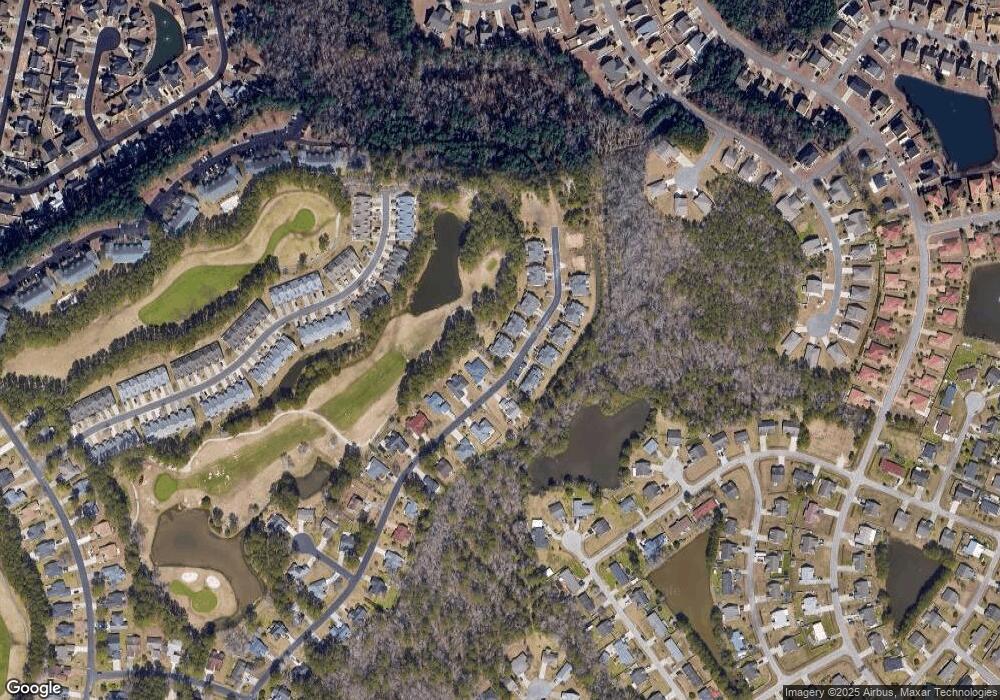
Map
Nearby Homes
- 492 Shellbank Dr Unit A
- 482 Shellbank Dr
- 510 Colonial Trace Dr Unit 8B
- 511 Colonial Trace Dr Unit 7-C
- 1309 Camlet Ln
- 1426 Chanson Ct
- 324 Glenridge Dr
- 328 Glenridge Dr
- 2532 Stonesedge Blvd
- 425 Colonial Trace Dr Unit 1D
- 870 Fairway Dr Unit 602CC
- 870 Fairway Dr Unit 604CC
- 430 Shellbank Dr
- 762 Callant Dr
- 890 Fairway Dr Unit 106AA
- 2708 Desert Rose St
- 238 Carolina Crossing Blvd
- 177 Northside Dr
- 546 Tourmaline Dr
- 2281 Seaford Dr
- 492 Shellbank Dr
- 492 Shellbank Dr Unit B
- 492B Shellbank Dr Unit 24B
- 492A Shellbank Dr Unit 24A
- 496b Shellbank Dr
- 496 Shellbank Dr
- 496 Shellbank Dr Unit 23B
- 496 Shellbank Dr Unit 23A
- 496 Shellbank Dr Unit B
- 496 Shellbank Dr Unit Townhomes at Shellba
- 496 Shellbank Dr Unit A
- 496b Shellbank Dr Unit A
- 488 Shellbank Dr
- 488 Shellbank Dr Unit 25D
- 488 Shellbank Dr Unit 25C
- 488 Shellbank Dr Unit 25B
- 488 Shellbank Dr Unit 25A
- 488 Shellbank Dr Unit 25A
- 493_A Shellbank Dr
- 493 Shellbank Dr
Your Personal Tour Guide
Ask me questions while you tour the home.