Estimated Value: $278,000 - $311,000
1
Bed
2
Baths
1,776
Sq Ft
$165/Sq Ft
Est. Value
About This Home
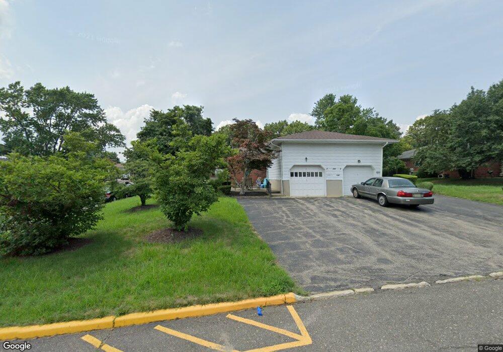
This home is located at 489B Laurel Brook Dr, Brick, NJ 08724 and is currently estimated at $293,381, approximately $165 per square foot. 489B Laurel Brook Dr is a home located in Ocean County with nearby schools including Emma Havens Young Elementary School, Lake Riviera Middle School, and Brick Township High School.
Ownership History
Date
Name
Owned For
Owner Type
Purchase Details
Closed on
Nov 17, 2015
Sold by
Morrow Jacqueline and Desimone Susan
Bought by
Morrow Jacqueline
Current Estimated Value
Home Financials for this Owner
Home Financials are based on the most recent Mortgage that was taken out on this home.
Original Mortgage
$104,000
Outstanding Balance
$81,912
Interest Rate
3.83%
Mortgage Type
New Conventional
Estimated Equity
$211,469
Purchase Details
Closed on
Feb 4, 2015
Sold by
Desimone Susan
Bought by
Morrow Jacqueline and Desimone Susan
Create a Home Valuation Report for This Property
The Home Valuation Report is an in-depth analysis detailing your home's value as well as a comparison with similar homes in the area
Home Values in the Area
Average Home Value in this Area
Purchase History
| Date | Buyer | Sale Price | Title Company |
|---|---|---|---|
| Morrow Jacqueline | $80,000 | Regional Title Agency Llc | |
| Morrow Jacqueline | -- | None Available |
Source: Public Records
Mortgage History
| Date | Status | Borrower | Loan Amount |
|---|---|---|---|
| Open | Morrow Jacqueline | $104,000 |
Source: Public Records
Tax History
| Year | Tax Paid | Tax Assessment Tax Assessment Total Assessment is a certain percentage of the fair market value that is determined by local assessors to be the total taxable value of land and additions on the property. | Land | Improvement |
|---|---|---|---|---|
| 2025 | $4,278 | $163,900 | $85,000 | $78,900 |
| 2024 | $4,060 | $163,900 | $85,000 | $78,900 |
Source: Public Records
Map
Nearby Homes
- 470A Laurel Brook Dr Unit 4401
- 470 Laurel Brook Dr
- 1595 Forge Pond Rd
- 12 D Trail
- 1635 Forge Pond Rd
- 1651 Forge Pond Rd
- 1648 Harvard Ave
- 6 Lisa Dr
- 39 Marlow Ave
- 55 Tony Ct
- 53 Albert Cucci Dr
- 42 Sidney Ct
- 56 Joseph Byrne Dr
- 19 Ashwood Dr
- 37 Central Blvd
- 25 Whitman St
- 305 Spirit Way
- 301 Prosper Way Unit 201
- 305 Spirit Way Unit 505
- 1418 Forest Ave
- 489A Laurel Brook Dr Unit 37A
- 489A Laurel Brook Dr Unit 3701
- 5D Court E
- 15 Court E Unit A
- 15 Court E Unit A
- 15 Court E Unit A
- 15 Court E Unit F
- 5C Court E
- 469D Jason Place Unit 35D
- 473B Jason Place
- 469C Jason Place Unit 35C
- 2A Court E
- 2A Court E Unit 4301
- 473 Jason Place Unit B
- 9C Court E
- 473A Jason Place
- 2B Court E
- 9D Court E
- 9D Court E Unit 3304
- 477A Jason Place
Your Personal Tour Guide
Ask me questions while you tour the home.