49 Adams St Jamestown, OH 45335
Estimated Value: $90,000 - $129,000
2
Beds
1
Bath
--
Sq Ft
13,460
Sq Ft Lot
About This Home
This home is located at 49 Adams St, Jamestown, OH 45335 and is currently estimated at $112,185. 49 Adams St is a home located in Greene County with nearby schools including Greeneview Elementary School, Greeneview Middle School, and Greeneview High School.
Ownership History
Date
Name
Owned For
Owner Type
Purchase Details
Closed on
Jun 3, 2010
Sold by
Security National Bank
Bought by
Park Hills Sentre Ltd
Current Estimated Value
Purchase Details
Closed on
Apr 20, 2010
Sold by
Melvin Mark Allen and Melvin Mark A
Bought by
Security National Bank and Security National Bank & Trust Company
Purchase Details
Closed on
Sep 24, 2004
Sold by
Davenport Brenda J
Bought by
Melvin Mark Allen
Home Financials for this Owner
Home Financials are based on the most recent Mortgage that was taken out on this home.
Original Mortgage
$66,500
Interest Rate
5.95%
Mortgage Type
Unknown
Purchase Details
Closed on
Jun 7, 2004
Sold by
Estate Of Robert E Lee Davenport
Bought by
Davenport Brenda 4
Create a Home Valuation Report for This Property
The Home Valuation Report is an in-depth analysis detailing your home's value as well as a comparison with similar homes in the area
Purchase History
| Date | Buyer | Sale Price | Title Company |
|---|---|---|---|
| Park Hills Sentre Ltd | $15,000 | Attorney | |
| Security National Bank | $44,000 | None Available | |
| Melvin Mark Allen | $70,000 | -- | |
| Davenport Brenda 4 | -- | -- |
Source: Public Records
Mortgage History
| Date | Status | Borrower | Loan Amount |
|---|---|---|---|
| Previous Owner | Melvin Mark Allen | $66,500 |
Source: Public Records
Tax History
| Year | Tax Paid | Tax Assessment Tax Assessment Total Assessment is a certain percentage of the fair market value that is determined by local assessors to be the total taxable value of land and additions on the property. | Land | Improvement |
|---|---|---|---|---|
| 2025 | $984 | $20,200 | $4,440 | $15,760 |
| 2024 | $974 | $20,200 | $4,440 | $15,760 |
| 2023 | $974 | $20,200 | $4,440 | $15,760 |
| 2022 | $885 | $15,630 | $4,440 | $11,190 |
| 2021 | $892 | $15,630 | $4,440 | $11,190 |
| 2020 | $811 | $15,630 | $4,440 | $11,190 |
| 2019 | $811 | $14,800 | $4,440 | $10,360 |
| 2018 | $814 | $14,800 | $4,440 | $10,360 |
| 2017 | $792 | $14,800 | $4,440 | $10,360 |
| 2016 | $798 | $14,790 | $4,440 | $10,350 |
| 2015 | $780 | $14,790 | $4,440 | $10,350 |
| 2014 | -- | $14,790 | $4,440 | $10,350 |
Source: Public Records
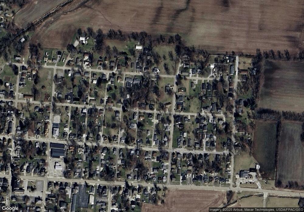
Map
Nearby Homes
- 4620 82 1/2 x 161 Nelson St
- 6 Verity St
- 21 S Limestone St
- 280 S Charleston Rd
- 21 S Buckles Ave
- 42 W Xenia St
- 48 W Xenia St
- 43 Hidden Creek Dr
- 855 Quarry Rd
- 643 Brickel Rd
- 4533 Navajo Trail
- 4208 Shawnee Trail
- 4184 Shawnee Trail
- 4119 Beach Trail
- 4005 Cheyenne Trail
- 1599 Garringer Rd
- 978 State Route 72 N
- 815 Oneida Trail
- 3647 N Lakeshore Dr
- 5469 Davis Rd
Your Personal Tour Guide
Ask me questions while you tour the home.