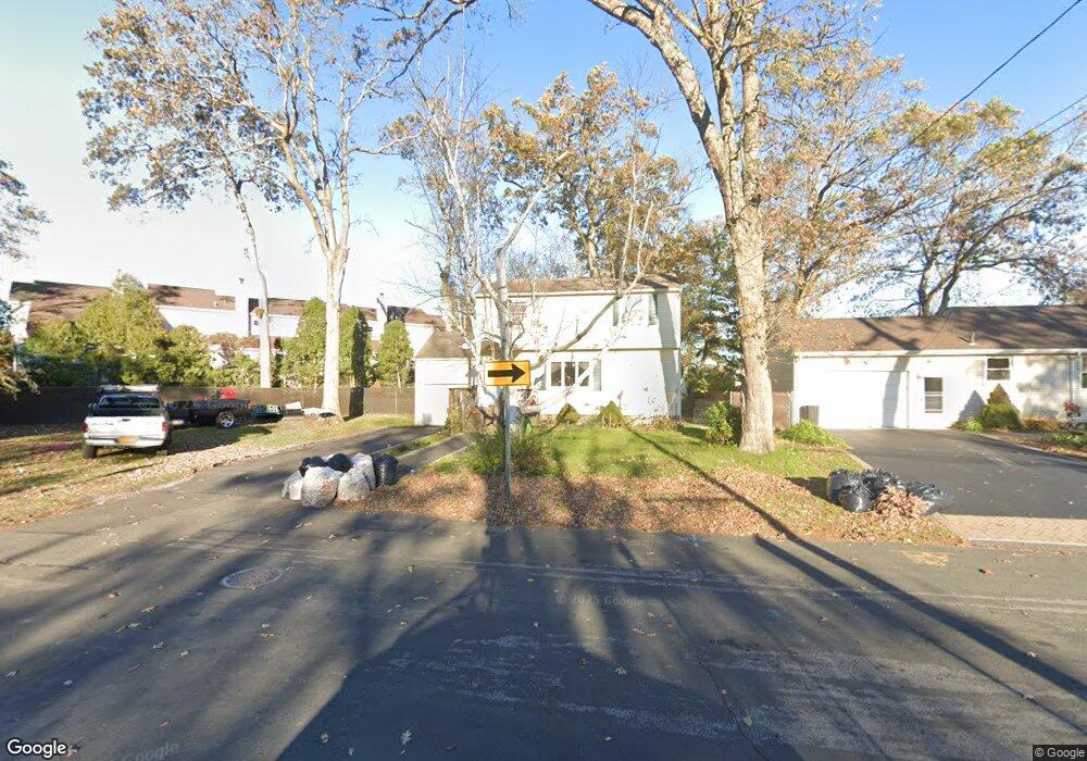
49 Auburn St West Babylon, NY 11704
Estimated Value: $580,000 - $678,000
4
Beds
2
Baths
1,850
Sq Ft
$344/Sq Ft
Est. Value
About This Home
This home is located at 49 Auburn St, West Babylon, NY 11704 and is currently estimated at $635,753, approximately $343 per square foot. 49 Auburn St is a home located in Suffolk County with nearby schools including South Bay Junior Academy.
Ownership History
Date
Name
Owned For
Owner Type
Purchase Details
Closed on
Oct 30, 2018
Sold by
Ruess Peter C and Ruess Peter J
Bought by
Ruess Peter C and Ruess Anna M
Current Estimated Value
Purchase Details
Closed on
Jun 26, 2018
Sold by
Salerno Amanda and Kelly Christina
Bought by
Ruess Peter C and Ruess Peter J
Home Financials for this Owner
Home Financials are based on the most recent Mortgage that was taken out on this home.
Original Mortgage
$280,000
Interest Rate
4.5%
Mortgage Type
New Conventional
Purchase Details
Closed on
Apr 28, 2006
Purchase Details
Closed on
Sep 21, 2005
Create a Home Valuation Report for This Property
The Home Valuation Report is an in-depth analysis detailing your home's value as well as a comparison with similar homes in the area
Home Values in the Area
Average Home Value in this Area
Purchase History
| Date | Buyer | Sale Price | Title Company |
|---|---|---|---|
| Ruess Peter C | -- | -- | |
| Ruess Peter C | -- | -- | |
| -- | -- | -- | |
| -- | $300,000 | -- |
Source: Public Records
Mortgage History
| Date | Status | Borrower | Loan Amount |
|---|---|---|---|
| Previous Owner | Ruess Peter C | $280,000 |
Source: Public Records
Tax History Compared to Growth
Tax History
| Year | Tax Paid | Tax Assessment Tax Assessment Total Assessment is a certain percentage of the fair market value that is determined by local assessors to be the total taxable value of land and additions on the property. | Land | Improvement |
|---|---|---|---|---|
| 2024 | $10,872 | $2,920 | $220 | $2,700 |
| 2023 | $10,872 | $2,920 | $220 | $2,700 |
| 2022 | $9,430 | $2,920 | $220 | $2,700 |
| 2021 | $9,430 | $2,920 | $220 | $2,700 |
| 2020 | $9,706 | $2,920 | $220 | $2,700 |
| 2019 | $9,706 | $0 | $0 | $0 |
| 2018 | $9,599 | $2,920 | $220 | $2,700 |
| 2017 | $9,599 | $2,920 | $220 | $2,700 |
| 2016 | $9,361 | $2,920 | $220 | $2,700 |
| 2015 | -- | $2,920 | $220 | $2,700 |
| 2014 | -- | $2,920 | $220 | $2,700 |
Source: Public Records
Map
Nearby Homes
- 5 Petersen Ct Unit 5
- 45 Arnold Ave
- 49 Arnold Ave
- 7 Bailey Ave
- 243 Locust Ave
- 252 Locust Ave
- 246 Locust Ave
- 27 E Neck Ct
- 162 Millard Ave Unit 162
- 24 Lowerre St
- 204 Millard Ave Unit 204
- 219 Litchfield Ave
- 79 Woodrow Pkwy
- 104 Frederick Ave
- 144 Woodrow Pkwy
- 37 Beachwood Dr
- 22 Bradish Ln
- 154A Woodrow Pkwy
- 104 Ralph Ave
- 32 Beachwood Dr