49 Basking Brook Ln Shelton, CT 06484
Estimated Value: $624,000 - $711,000
3
Beds
3
Baths
2,180
Sq Ft
$304/Sq Ft
Est. Value
About This Home
This home is located at 49 Basking Brook Ln, Shelton, CT 06484 and is currently estimated at $663,019, approximately $304 per square foot. 49 Basking Brook Ln is a home located in Fairfield County with nearby schools including Perry Hill School, Shelton Intermediate School, and Shelton High School.
Ownership History
Date
Name
Owned For
Owner Type
Purchase Details
Closed on
Jun 22, 2017
Sold by
Sapiro Theresa
Bought by
Jackson Camille and Tyrell Karen
Current Estimated Value
Home Financials for this Owner
Home Financials are based on the most recent Mortgage that was taken out on this home.
Original Mortgage
$342,678
Outstanding Balance
$285,814
Interest Rate
4.12%
Mortgage Type
FHA
Estimated Equity
$377,205
Purchase Details
Closed on
May 29, 1998
Sold by
North Forty Inc
Bought by
Sapiro Arnold M and Sapiro Theresa M
Create a Home Valuation Report for This Property
The Home Valuation Report is an in-depth analysis detailing your home's value as well as a comparison with similar homes in the area
Home Values in the Area
Average Home Value in this Area
Purchase History
| Date | Buyer | Sale Price | Title Company |
|---|---|---|---|
| Jackson Camille | $349,000 | -- | |
| Jackson Camille | $349,000 | -- | |
| Sapiro Arnold M | $214,900 | -- | |
| Sapiro Arnold M | $214,900 | -- |
Source: Public Records
Mortgage History
| Date | Status | Borrower | Loan Amount |
|---|---|---|---|
| Open | Sapiro Arnold M | $342,678 | |
| Closed | Sapiro Arnold M | $342,678 |
Source: Public Records
Tax History Compared to Growth
Tax History
| Year | Tax Paid | Tax Assessment Tax Assessment Total Assessment is a certain percentage of the fair market value that is determined by local assessors to be the total taxable value of land and additions on the property. | Land | Improvement |
|---|---|---|---|---|
| 2025 | $6,517 | $346,290 | $89,040 | $257,250 |
| 2024 | $6,346 | $330,890 | $89,040 | $241,850 |
| 2023 | $5,781 | $330,890 | $89,040 | $241,850 |
| 2022 | $5,781 | $330,890 | $89,040 | $241,850 |
| 2021 | $5,208 | $236,390 | $86,520 | $149,870 |
| 2020 | $5,300 | $236,390 | $86,520 | $149,870 |
| 2019 | $5,300 | $236,390 | $86,520 | $149,870 |
| 2017 | $5,250 | $236,390 | $86,520 | $149,870 |
| 2015 | $4,857 | $220,710 | $81,830 | $138,880 |
| 2014 | $4,924 | $220,710 | $81,830 | $138,880 |
Source: Public Records
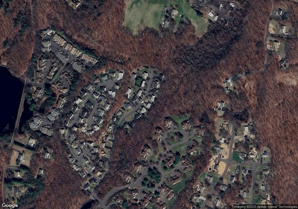
Map
Nearby Homes
- 45 Greystone
- 19 L Hermitage Dr Unit 19
- 39 L Hermitage Dr Unit 39
- 141 Spring Glen Unit 141
- 113 Spring Glen
- 16 Willoughby Rd
- 5 Independence Dr
- 3 Maler Ave
- 27 Country Walk
- 358 Long Hill Ave
- 93 Shelton Ave
- 304 Summerfield Gardens Unit 304
- 2 Congress Ave
- 356 Long Hill Ave
- 277 Eagles Landing Unit 277
- 125 Oak Ave
- 61 Maler Ave
- 0 Riverview Ave
- 37 Foley Ave
- 498 Elk Run Unit 498
- 53 Basking Brook Ln
- 57 Basking Brook Ln
- 50 Basking Brook Ln
- 42 Basking Brook Ln
- 62 Basking Brook Ln
- 45 Basking Brook Ln
- 46 Basking Brook Ln
- 37 Basking Brook Ln
- 54 Basking Brook Ln
- 41 Basking Brook Ln
- 38 Basking Brook Ln
- 66 Basking Brook Ln
- 65 Basking Brook Ln
- 49 Jardin Cir
- 47 Jardin Cir
- 49 Jardin Cir Unit 49
- 57 Jardin Cir
- 57 Jardin Cir Unit 57
- 58 Basking Brook Ln
- 33 Basking Brook Ln