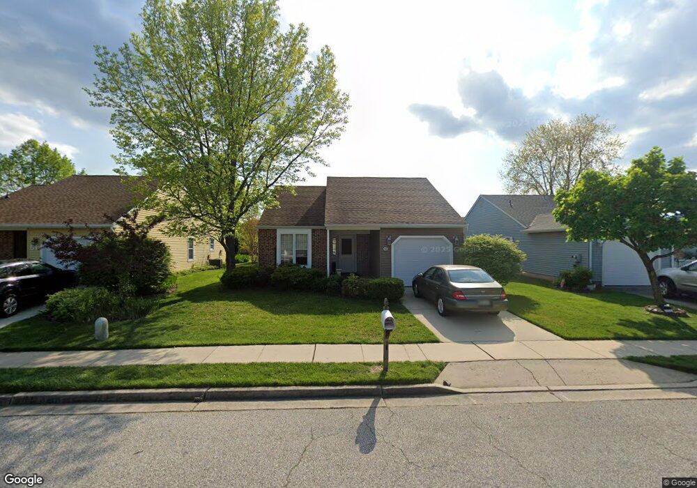
49 Bastian Dr Mount Laurel, NJ 08054
Estimated Value: $319,720 - $425,000
Studio
--
Bath
1,395
Sq Ft
$278/Sq Ft
Est. Value
About This Home
This home is located at 49 Bastian Dr, Mount Laurel, NJ 08054 and is currently estimated at $388,430, approximately $278 per square foot. 49 Bastian Dr is a home located in Burlington County with nearby schools including Hillside Elementary School, T.E. Harrington Middle School, and Mount Laurel Hartford School.
Ownership History
Date
Name
Owned For
Owner Type
Purchase Details
Closed on
Nov 19, 2001
Sold by
Harkins Francis William and Burk Mary Helen
Bought by
Abbatecola Lorraine
Current Estimated Value
Purchase Details
Closed on
Oct 8, 1999
Sold by
Neeley Robert A and Neeley Dorothy U
Bought by
Harkins Marian E
Home Financials for this Owner
Home Financials are based on the most recent Mortgage that was taken out on this home.
Original Mortgage
$115,000
Interest Rate
8.25%
Create a Home Valuation Report for This Property
The Home Valuation Report is an in-depth analysis detailing your home's value as well as a comparison with similar homes in the area
Home Values in the Area
Average Home Value in this Area
Purchase History
| Date | Buyer | Sale Price | Title Company |
|---|---|---|---|
| Abbatecola Lorraine | $154,000 | Group 21 Title Agency | |
| Harkins Marian E | $138,000 | T A Title Insurance Co |
Source: Public Records
Mortgage History
| Date | Status | Borrower | Loan Amount |
|---|---|---|---|
| Previous Owner | Harkins Marian E | $115,000 |
Source: Public Records
Tax History
| Year | Tax Paid | Tax Assessment Tax Assessment Total Assessment is a certain percentage of the fair market value that is determined by local assessors to be the total taxable value of land and additions on the property. | Land | Improvement |
|---|---|---|---|---|
| 2025 | $5,544 | $175,600 | $53,000 | $122,600 |
| 2024 | $5,335 | $175,600 | $53,000 | $122,600 |
| 2023 | $5,335 | $175,600 | $53,000 | $122,600 |
| 2021 | $5,217 | $175,600 | $53,000 | $122,600 |
| 2020 | $5,115 | $175,600 | $53,000 | $122,600 |
| 2019 | $5,063 | $175,600 | $53,000 | $122,600 |
| 2018 | $5,024 | $175,600 | $53,000 | $122,600 |
| 2017 | $4,394 | $175,600 | $53,000 | $122,600 |
| 2016 | $4,320 | $175,600 | $53,000 | $122,600 |
| 2015 | $4,264 | $175,600 | $53,000 | $122,600 |
| 2014 | $4,217 | $175,600 | $53,000 | $122,600 |
Source: Public Records
Map
Nearby Homes
- 12 Taconia Ct
- 3 Newtown Ct
- 6 Panorama Ct
- 23 Emory Ln
- 3 Avandale Ct
- 9 Avandale Ct
- 17 White Stone Ct
- 23 E Oleander Dr
- 903 Ginger Ct
- 2103A Ferndale Ct Unit A
- 420 Elderberry Ct
- 1701A Steeplebush Terrace
- 1604B Steeplebush Terrace Unit 2604B
- 98B Red Cedar Ct
- 104B Sumac Ct Unit 104B
- 2702B Bluegrass Dr Unit B
- 404 Aster Place
- 130B Birchfield Ct Unit B
- 130B Birchfield Ct Unit 130B
- 20 Rose Ct
Your Personal Tour Guide
Ask me questions while you tour the home.