Estimated Value: $114,081
--
Bed
--
Bath
500
Sq Ft
$228/Sq Ft
Est. Value
About This Home
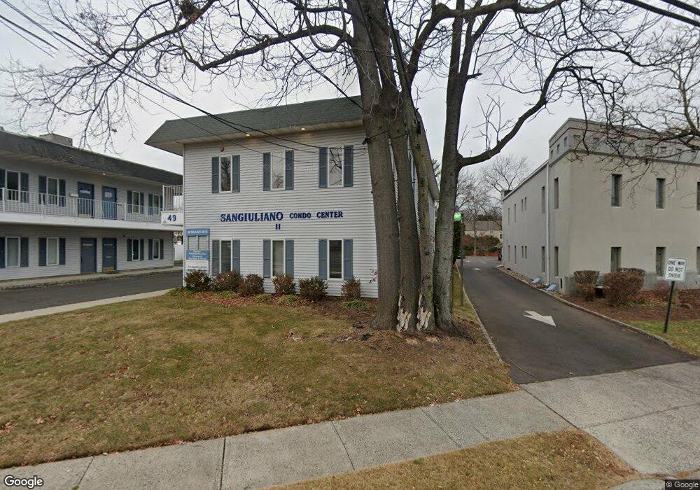
This home is located at 49 Brant Ave Unit 7, Clark, NJ 07066 and is currently estimated at $114,081, approximately $228 per square foot. 49 Brant Ave Unit 7 is a home located in Union County with nearby schools including Valley Road Elementary School, Carl H. Kumpf Middle School, and Arthur L. Johnson High School.
Ownership History
Date
Name
Owned For
Owner Type
Purchase Details
Closed on
Aug 20, 2021
Sold by
Crv Investments Llc
Bought by
Dream Properties Trust
Current Estimated Value
Purchase Details
Closed on
May 24, 2021
Sold by
Przybyszewski Lukasz
Bought by
C R V Investment Llc
Purchase Details
Closed on
Oct 11, 2019
Sold by
Round One Realty Llc
Bought by
Przybyszewski Lukasz
Create a Home Valuation Report for This Property
The Home Valuation Report is an in-depth analysis detailing your home's value as well as a comparison with similar homes in the area
Home Values in the Area
Average Home Value in this Area
Purchase History
| Date | Buyer | Sale Price | Title Company |
|---|---|---|---|
| Dream Properties Trust | -- | None Listed On Document | |
| Dream Properties Trust | -- | None Listed On Document | |
| C R V Investment Llc | $82,500 | Investors First Title | |
| C R V Investment Llc | $82,500 | Investors First Title | |
| Przybyszewski Lukasz | $142,000 | Fidelity National Ttl Ins Co |
Source: Public Records
Tax History Compared to Growth
Tax History
| Year | Tax Paid | Tax Assessment Tax Assessment Total Assessment is a certain percentage of the fair market value that is determined by local assessors to be the total taxable value of land and additions on the property. | Land | Improvement |
|---|---|---|---|---|
| 2025 | $1,689 | $76,300 | $18,300 | $58,000 |
| 2024 | $1,664 | $76,300 | $18,300 | $58,000 |
| 2023 | $1,664 | $76,300 | $18,300 | $58,000 |
| 2022 | $1,616 | $76,300 | $18,300 | $58,000 |
| 2021 | $2,400 | $27,000 | $10,000 | $17,000 |
| 2020 | $2,361 | $27,000 | $10,000 | $17,000 |
| 2019 | $2,337 | $27,000 | $10,000 | $17,000 |
| 2018 | $3,366 | $27,000 | $10,000 | $17,000 |
| 2017 | $3,366 | $40,000 | $10,000 | $30,000 |
| 2016 | $3,242 | $40,000 | $10,000 | $30,000 |
| 2015 | $3,210 | $40,000 | $10,000 | $30,000 |
| 2014 | -- | $40,000 | $10,000 | $30,000 |
Source: Public Records
Map
Nearby Homes
- 30 Brant Ave
- 27 Grand St
- 12 Bartell Place
- 157 Westfield Ave
- 53 Richard St
- 122 Central Ave
- 22 Washington St
- 275 Valley Rd
- 44 Post Rd
- 1081 Madison Hill Rd
- 1218 Kline Place
- 325 West Ln
- 1374 Lambert St
- 25 Poplar Terrace
- 331 West Ln
- 33 Sunset Dr
- 17 Garside Place
- 64 Ruddy Place
- 24 Pershing Ave
- 5 Sycamore Rd
- 45 Brant Ave Unit 6
- 45 Brant Ave Unit 1
- 45 Brant Ave Unit 3
- 45 Brant Ave Unit 5
- 45 Brant Ave Unit 4
- 45 Brant Ave Unit 2
- 45 Brant Ave Unit 8
- 45 Brant Ave Unit 7
- 45 Brant Ave
- 45 Brant Ave Unit 3 & 4
- 49 Brant Ave
- 49 Brant Ave Unit 6
- 49 Brant Ave Unit 8
- 49 Brant Ave Unit 5
- 49 Brant Ave Unit 4
- 49 Brant Ave Unit 3
- 49 Brant Ave Unit 2
- 49 Brant Ave Unit 1
- 45 Brant Ave Unit 3 & 4
- 45 Brant Ave Ste 3&4