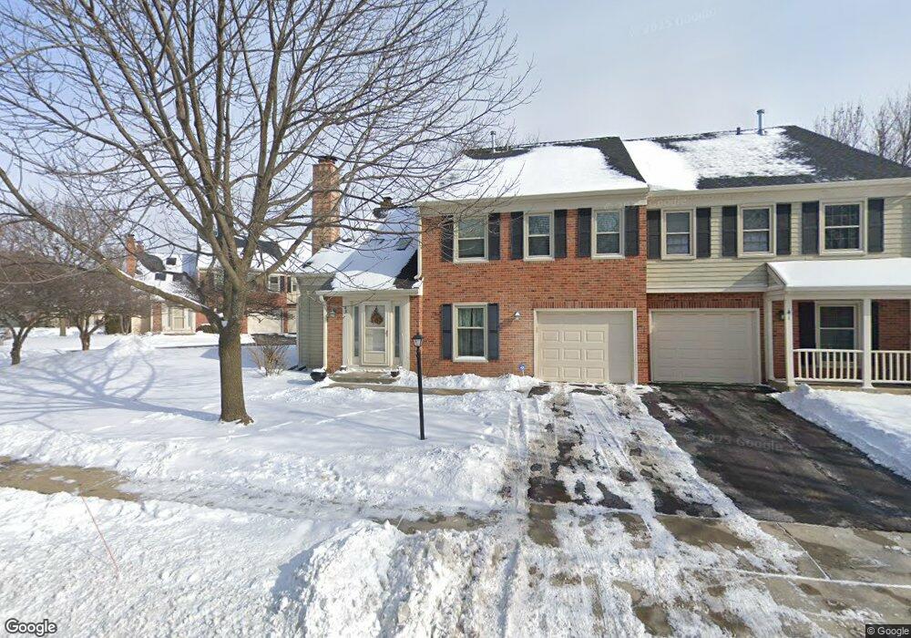
49 Bright Ridge Dr Unit 61 Schaumburg, IL 60194
East Schaumburg NeighborhoodEstimated Value: $301,920 - $338,000
2
Beds
1
Bath
1,200
Sq Ft
$264/Sq Ft
Est. Value
About This Home
This home is located at 49 Bright Ridge Dr Unit 61, Schaumburg, IL 60194 and is currently estimated at $316,730, approximately $263 per square foot. 49 Bright Ridge Dr Unit 61 is a home located in Cook County with nearby schools including Everett Dirksen Elementary School, Robert Frost Junior High School, and J B Conant High School.
Ownership History
Date
Name
Owned For
Owner Type
Purchase Details
Closed on
Aug 22, 2003
Sold by
Koutlemanis Alexia and Saitas Doti
Bought by
Lee Michael C
Current Estimated Value
Home Financials for this Owner
Home Financials are based on the most recent Mortgage that was taken out on this home.
Original Mortgage
$181,900
Interest Rate
6.43%
Mortgage Type
Unknown
Create a Home Valuation Report for This Property
The Home Valuation Report is an in-depth analysis detailing your home's value as well as a comparison with similar homes in the area
Home Values in the Area
Average Home Value in this Area
Purchase History
| Date | Buyer | Sale Price | Title Company |
|---|---|---|---|
| Lee Michael C | $191,500 | Chicago Title Insurance Comp |
Source: Public Records
Mortgage History
| Date | Status | Borrower | Loan Amount |
|---|---|---|---|
| Previous Owner | Lee Michael C | $181,900 |
Source: Public Records
Tax History Compared to Growth
Tax History
| Year | Tax Paid | Tax Assessment Tax Assessment Total Assessment is a certain percentage of the fair market value that is determined by local assessors to be the total taxable value of land and additions on the property. | Land | Improvement |
|---|---|---|---|---|
| 2024 | $5,201 | $21,881 | $6,824 | $15,057 |
| 2023 | $5,015 | $21,881 | $6,824 | $15,057 |
| 2022 | $5,015 | $21,881 | $6,824 | $15,057 |
| 2021 | $4,271 | $17,422 | $8,743 | $8,679 |
| 2020 | $4,132 | $17,422 | $8,743 | $8,679 |
| 2019 | $4,272 | $19,368 | $8,743 | $10,625 |
| 2018 | $4,132 | $17,202 | $7,357 | $9,845 |
| 2017 | $4,084 | $17,202 | $7,357 | $9,845 |
| 2016 | $4,062 | $17,202 | $7,357 | $9,845 |
| 2015 | $4,058 | $16,188 | $6,397 | $9,791 |
| 2014 | $4,030 | $16,188 | $6,397 | $9,791 |
| 2013 | $3,910 | $15,603 | $6,397 | $9,206 |
Source: Public Records
Map
Nearby Homes
- 121 Chatsworth Cir
- 22 Ascot Cir
- 600 Eastview Ct Unit X1
- 28 Ascot Cir
- 601 Hanover Ct Unit Z2
- 609 Hanover Ct Unit X1
- 350 Newgate Ct Unit 2Z
- 136 Wolcott Ct Unit O2
- 287 Pembridge Ln Unit B2
- 325 Bayview Point Unit 56B
- 22 Waterbury Ln Unit N1
- 125 Cleveland Ct Unit M2
- 147 Fulbright Ln
- 153 Fulbright Ln
- 751 Edgelake Point Unit 68C
- 421 Summit Dr
- 1871 Fox Run Dr Unit A
- 465 Apache Ln
- 300 S Roselle Rd Unit 419
- 300 S Roselle Rd Unit 519
- 47 Bright Ridge Dr Unit 62
- 41 Bright Ridge Dr Unit 63
- 43 Bright Ridge Dr Unit 64
- 43 Bright Ridge Dr Unit 4
- 39 Bright Ridge Dr Unit 54
- 37 Bright Ridge Dr Unit 53
- 31 Bright Ridge Dr Unit 52
- 33 Bright Ridge Dr Unit 51
- 33 Bright Ridge Dr Unit 1
- 71 Bright Ridge Dr Unit 74
- 69 Bright Ridge Dr Unit 73
- 67 Bright Ridge Dr Unit 81
- 67 Bright Ridge Dr
- 65 Bright Ridge Dr Unit 82
- 59 Bright Ridge Dr Unit 83
- 51 Bright Ridge Dr Unit 43
- 27 Bright Ridge Dr Unit 42
- 57 Bright Ridge Dr Unit 71
- 21 Bright Ridge Dr Unit 24
- 55 Bright Ridge Dr Unit 72