49 Buckhill Rd Albrightsville, PA 18210
Estimated Value: $10,153 - $210,000
--
Bed
--
Bath
--
Sq Ft
0.53
Acres
About This Home
This home is located at 49 Buckhill Rd, Albrightsville, PA 18210 and is currently estimated at $110,077. 49 Buckhill Rd is a home located in Carbon County with nearby schools including Jim Thorpe Area High School.
Ownership History
Date
Name
Owned For
Owner Type
Purchase Details
Closed on
Dec 9, 2022
Sold by
Tax Claim Bureau Of The County Of Carbon
Bought by
1205 Buck Hill Road Llc
Current Estimated Value
Purchase Details
Closed on
Oct 11, 2019
Sold by
Sikorski Andrzej
Bought by
1205 Buck Hill Road Llc
Purchase Details
Closed on
Mar 23, 2007
Sold by
Gillen Lloyd and Gillen Rhonda
Bought by
Sikorski Andrzej
Purchase Details
Closed on
Mar 2, 2007
Sold by
Mayer Family Trust
Bought by
Gillen Lloyd and Gillen Rhonda
Create a Home Valuation Report for This Property
The Home Valuation Report is an in-depth analysis detailing your home's value as well as a comparison with similar homes in the area
Home Values in the Area
Average Home Value in this Area
Purchase History
| Date | Buyer | Sale Price | Title Company |
|---|---|---|---|
| 1205 Buck Hill Road Llc | $1,059 | -- | |
| 1205 Buck Hill Road Llc | $5,289 | None Available | |
| Sikorski Andrzej | $16,500 | None Available | |
| Gillen Lloyd | -- | None Available |
Source: Public Records
Tax History Compared to Growth
Tax History
| Year | Tax Paid | Tax Assessment Tax Assessment Total Assessment is a certain percentage of the fair market value that is determined by local assessors to be the total taxable value of land and additions on the property. | Land | Improvement |
|---|---|---|---|---|
| 2025 | $126 | $2,050 | $2,050 | $0 |
| 2024 | $120 | $2,050 | $2,050 | $0 |
| 2023 | $118 | $2,050 | $2,050 | $0 |
| 2022 | $118 | $2,050 | $2,050 | $0 |
| 2021 | $118 | $2,050 | $2,050 | $0 |
| 2020 | $118 | $2,050 | $2,050 | $0 |
| 2019 | $114 | $2,050 | $2,050 | $0 |
| 2018 | $114 | $2,050 | $2,050 | $0 |
| 2017 | $114 | $2,050 | $2,050 | $0 |
| 2016 | -- | $2,050 | $2,050 | $0 |
| 2015 | -- | $2,050 | $2,050 | $0 |
| 2014 | -- | $2,050 | $2,050 | $0 |
Source: Public Records
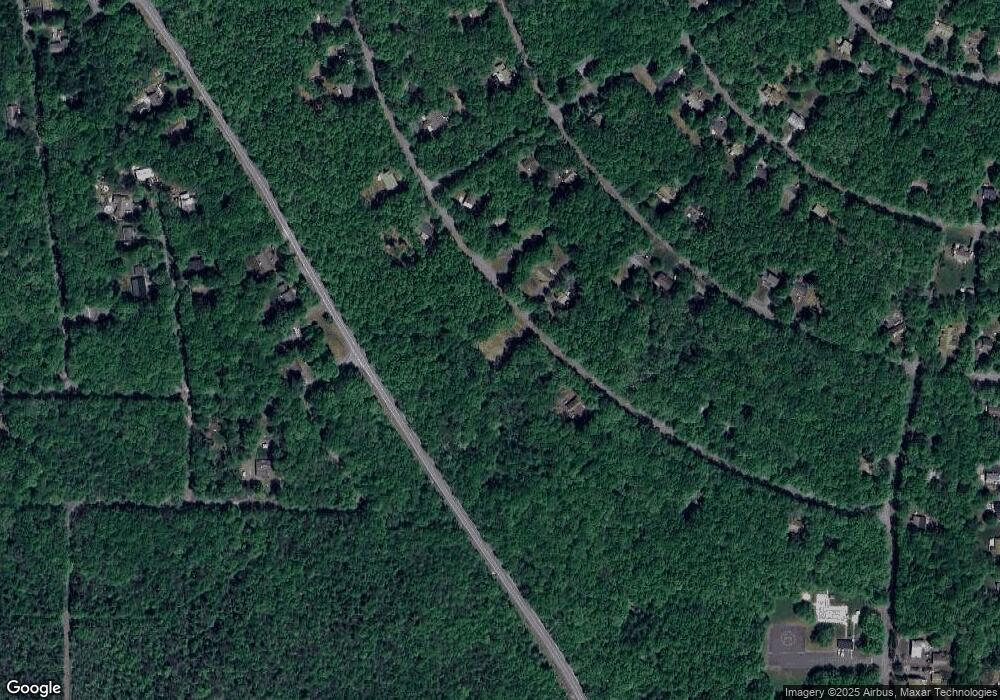
Map
Nearby Homes
- 48 Buckhill Rd
- 0 Buck Hill Rd Unit 752356
- 57 Mohawk Trail
- 313 & 315 Tapuco Dr
- 922 Mohawk Trail
- 0 Mohawk Trail Unit PM-121856
- NII1717 Seneca Trail
- NII1718 Seneca Trail
- 0 Seneca Trail
- 0 Tapuco Dr
- 30 Lenape Trail
- 0 Buckhill Rd Unit PM-121990
- 0 Katu Trail and Penn Forest
- A806 Buckhill Rd
- NII1217 Buckhill Rd
- NII1214 Buckhill Rd
- 113 Lenape Trail
- DP1400 Chinook Trail & Cochise Trail
- 12 Seneca Trail
- 0 Penn Forest Dr Unit 752345
- 48 Buckhill Rd
- 50 Buckhill Rd
- 39 Buckhill Rd
- 54 Buckhill Rd
- 2738 Pennsylvania 534
- 60 Buckhill Rd
- 63 Buckhill Rd
- 1328 Buckhill # N-2 Rd
- 66 Buckhill Rd
- 63 Lenape Trail
- 1303 N-II Lenape Trail
- 75 Lenape Trail
- 1419 State Route 534
- 65 Buckhill Rd
- 1425 State Route 534
- 57 Lenape Trail
- 1425 Pennsylvania 534
- 12 Highpoint Dr
- 0 Buck Hill Rd Unit 730220
- 0 Buck Hill Rd Unit 720611