49 Camp Rd Alfred, ME 04002
Estimated Value: $256,000 - $667,000
2
Beds
--
Bath
620
Sq Ft
$833/Sq Ft
Est. Value
About This Home
This home is located at 49 Camp Rd, Alfred, ME 04002 and is currently estimated at $516,461, approximately $833 per square foot. 49 Camp Rd is a home with nearby schools including Massabesic High School.
Ownership History
Date
Name
Owned For
Owner Type
Purchase Details
Closed on
May 1, 2025
Sold by
Kristal Alan J and Kristal Cheryl J
Bought by
Appel Neal B and Appel Barbara R
Current Estimated Value
Purchase Details
Closed on
Nov 6, 2018
Sold by
Alan J Kristal T
Bought by
Kristal Alan J and Kristal Cheryl J
Create a Home Valuation Report for This Property
The Home Valuation Report is an in-depth analysis detailing your home's value as well as a comparison with similar homes in the area
Home Values in the Area
Average Home Value in this Area
Purchase History
| Date | Buyer | Sale Price | Title Company |
|---|---|---|---|
| Appel Neal B | $47,000 | None Available | |
| Appel Neal B | $47,000 | None Available | |
| Appel Neal B | $47,000 | None Available | |
| Kristal Alan J | -- | -- | |
| Kristal Alan J | -- | -- | |
| Kristal Alan J | -- | -- |
Source: Public Records
Tax History
| Year | Tax Paid | Tax Assessment Tax Assessment Total Assessment is a certain percentage of the fair market value that is determined by local assessors to be the total taxable value of land and additions on the property. | Land | Improvement |
|---|---|---|---|---|
| 2025 | $4,464 | $462,591 | $346,548 | $116,043 |
| 2024 | $4,699 | $497,207 | $381,164 | $116,043 |
| 2023 | $2,500 | $133,000 | $95,400 | $37,600 |
| 2022 | $2,394 | $133,000 | $95,400 | $37,600 |
| 2021 | $2,294 | $133,000 | $95,400 | $37,600 |
| 2020 | $2,181 | $133,000 | $95,400 | $37,600 |
| 2019 | $2,181 | $133,000 | $95,400 | $37,600 |
| 2018 | $3,792 | $133,000 | $95,400 | $37,600 |
| 2017 | $2,115 | $133,000 | $95,400 | $37,600 |
| 2016 | $2,015 | $133,000 | $95,400 | $37,600 |
| 2015 | $1,929 | $133,000 | $95,400 | $37,600 |
| 2014 | $1,895 | $133,000 | $95,400 | $37,600 |
| 2013 | $1,829 | $133,000 | $95,400 | $37,600 |
Source: Public Records
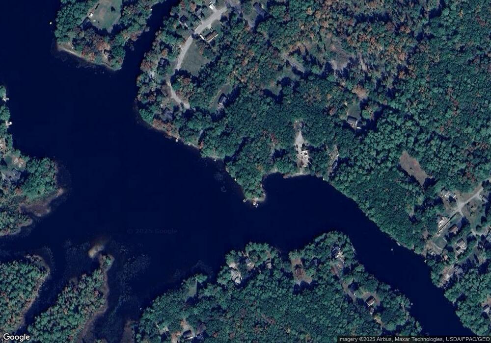
Map
Nearby Homes
- TBD Branch View Terrace Unit Lot 5
- TBD Branch View Terrace Unit Lot 4
- Lot B Bernier Rd
- Lot A Bernier Rd
- 85 Branch View Terrace N
- TBD1 Bernier Rd
- TBD Bernier Rd
- 6 Commodore Dr
- 7 Gendreau Ln
- 3 Windsor Dr
- TBD Kennebunk Rd
- Lot 3 Kennebunk Rd
- 17 Red Fox Ln
- 29 Red Fox Ln
- 29 Chickadee Dr
- 12 Marsh Brook Crossing
- 8 Pinecone Dr
- 72 Golden Era Cir
- 54 Golden Era Cir
- 39 Leisure Dr
Your Personal Tour Guide
Ask me questions while you tour the home.