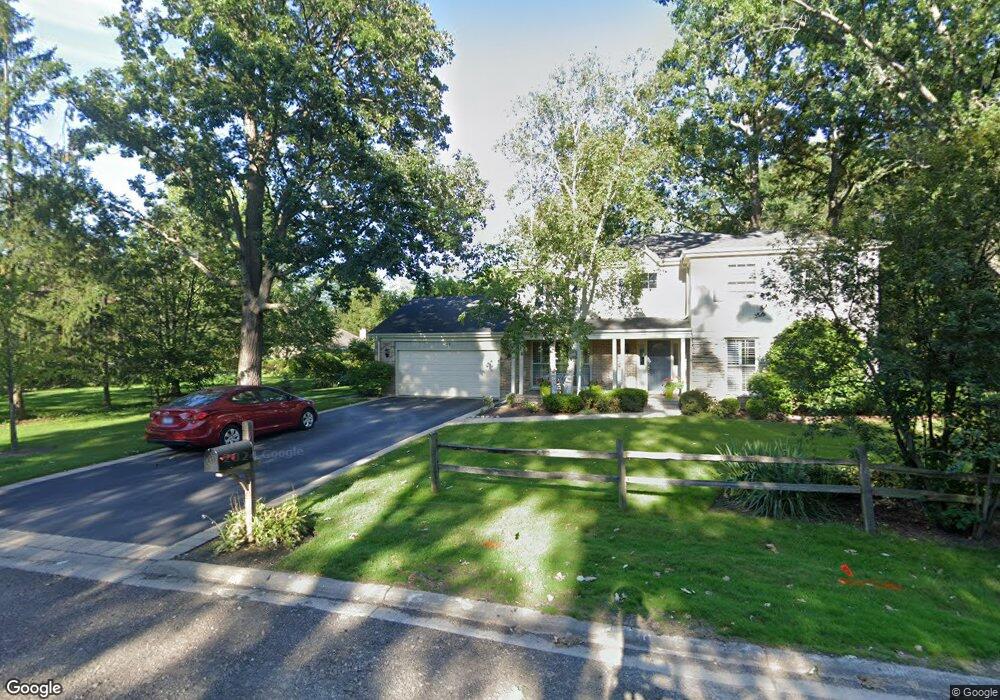
49 Canterbury Rd Lincolnshire, IL 60069
Lincolnshire Woodlands NeighborhoodEstimated Value: $803,423 - $1,117,000
--
Bed
3
Baths
2,808
Sq Ft
$324/Sq Ft
Est. Value
About This Home
This home is located at 49 Canterbury Rd, Lincolnshire, IL 60069 and is currently estimated at $909,856, approximately $324 per square foot. 49 Canterbury Rd is a home located in Lake County with nearby schools including Laura B. Sprague School, Half Day School, and Daniel Wright Junior High School.
Ownership History
Date
Name
Owned For
Owner Type
Purchase Details
Closed on
Mar 30, 2018
Sold by
Sims William P and Sims Mary Lynn
Bought by
Sims William Paul and Sims Mary Lynn
Current Estimated Value
Purchase Details
Closed on
Apr 8, 1998
Sold by
Sirus Richard A and Sirus Lauralee S
Bought by
Sims William P and Sims Mary Lynn
Home Financials for this Owner
Home Financials are based on the most recent Mortgage that was taken out on this home.
Original Mortgage
$225,000
Outstanding Balance
$43,086
Interest Rate
7.2%
Estimated Equity
$866,770
Purchase Details
Closed on
Feb 28, 1994
Sold by
Sirus Richard A and Sirus Lauralee S
Bought by
Sirus Richard A and Sirus Lauralee S
Create a Home Valuation Report for This Property
The Home Valuation Report is an in-depth analysis detailing your home's value as well as a comparison with similar homes in the area
Home Values in the Area
Average Home Value in this Area
Purchase History
| Date | Buyer | Sale Price | Title Company |
|---|---|---|---|
| Sims William Paul | -- | Attorney | |
| Sims William P | $417,500 | Chicago Title Insurance Co | |
| Sirus Richard A | -- | Ticor Title Insurance Compan |
Source: Public Records
Mortgage History
| Date | Status | Borrower | Loan Amount |
|---|---|---|---|
| Open | Sims William P | $225,000 |
Source: Public Records
Tax History Compared to Growth
Tax History
| Year | Tax Paid | Tax Assessment Tax Assessment Total Assessment is a certain percentage of the fair market value that is determined by local assessors to be the total taxable value of land and additions on the property. | Land | Improvement |
|---|---|---|---|---|
| 2024 | $18,293 | $233,302 | $78,691 | $154,611 |
| 2023 | $16,879 | $213,726 | $72,088 | $141,638 |
| 2022 | $16,879 | $197,126 | $66,489 | $130,637 |
| 2021 | $16,226 | $195,000 | $65,772 | $129,228 |
| 2020 | $15,825 | $195,665 | $65,996 | $129,669 |
| 2019 | $15,772 | $194,944 | $65,753 | $129,191 |
| 2018 | $16,271 | $206,427 | $71,477 | $134,950 |
| 2017 | $16,038 | $201,609 | $69,809 | $131,800 |
| 2016 | $15,395 | $193,057 | $66,848 | $126,209 |
| 2015 | $15,087 | $180,546 | $62,516 | $118,030 |
| 2014 | $14,329 | $171,941 | $67,141 | $104,800 |
| 2012 | $13,987 | $172,286 | $67,276 | $105,010 |
Source: Public Records
Map
Nearby Homes
- 8 Royal Ct
- 11 Warwick Ln
- 26 Berkshire Ln
- 7 Court of Fox River Valley
- 1890 Robinwood Ln
- 46 Berkshire Ln
- 1849 Robinwood Ln
- 1830 Robinwood Ln
- 5 Court of Bucks County
- 2940 Farner Ct
- 6 Robin Hood Ct
- 3115 Duffy Ln
- 8 Pheasant Row
- 6 Devonshire Ln
- 2060 Duffy Ln
- 1397 Kenilwood Ct
- 113 Surrey Ln
- 2040 Duffy Ln
- Lot 23 Wedgewood Dr
- Lot 24 Wedgewood Dr
- 47 Canterbury Rd Unit 2
- 3 Windsor Dr
- 53 Canterbury Rd
- 7 Whitby Ct
- 7 Whitby Cir
- 1 Royal Ct Unit 1
- 9 Whitby Cir
- 5 Whitby Cir
- 2 Royal Ct Unit 1
- 11 Anglican Ln Unit 4
- 3 Royal Ct
- 4 Bristol Ct
- 55 Canterbury Rd
- 2 Windsor Dr
- 8 Bristol Ct
- 11 Whitby Cir
- 10 Bristol Ct
- 4 Windsor Dr Unit 2
- 4 Royal Ct Unit 1
- 5 Royal Ct