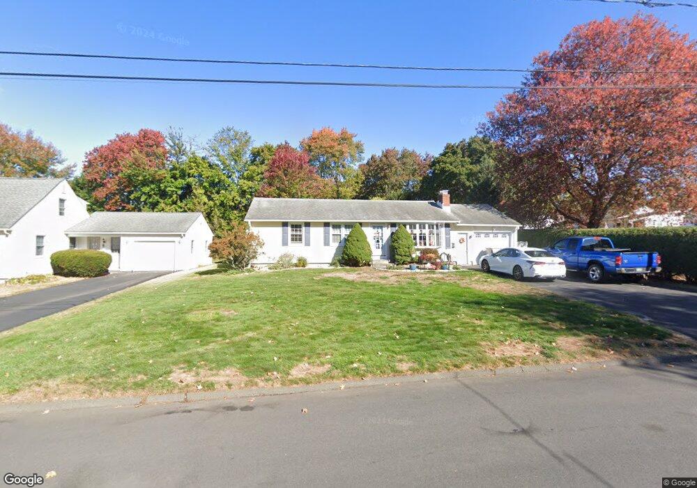
49 Christine Rd Bristol, CT 06010
North Bristol NeighborhoodEstimated Value: $292,000 - $325,471
3
Beds
1
Bath
1,008
Sq Ft
$312/Sq Ft
Est. Value
About This Home
This home is located at 49 Christine Rd, Bristol, CT 06010 and is currently estimated at $314,868, approximately $312 per square foot. 49 Christine Rd is a home located in Hartford County with nearby schools including Ivy Drive School, Northeast Middle School, and Bristol Eastern High School.
Ownership History
Date
Name
Owned For
Owner Type
Purchase Details
Closed on
Mar 3, 2008
Sold by
Pisk Stephen L and Allaire Stephen O
Bought by
Tardiff David F and Rinaldi Theresa A
Current Estimated Value
Home Financials for this Owner
Home Financials are based on the most recent Mortgage that was taken out on this home.
Original Mortgage
$173,850
Interest Rate
5.8%
Create a Home Valuation Report for This Property
The Home Valuation Report is an in-depth analysis detailing your home's value as well as a comparison with similar homes in the area
Home Values in the Area
Average Home Value in this Area
Purchase History
| Date | Buyer | Sale Price | Title Company |
|---|---|---|---|
| Tardiff David F | $183,000 | -- |
Source: Public Records
Mortgage History
| Date | Status | Borrower | Loan Amount |
|---|---|---|---|
| Open | Tardiff David F | $160,000 | |
| Closed | Tardiff David F | $173,850 | |
| Closed | Tardiff David F | $173,850 |
Source: Public Records
Tax History Compared to Growth
Tax History
| Year | Tax Paid | Tax Assessment Tax Assessment Total Assessment is a certain percentage of the fair market value that is determined by local assessors to be the total taxable value of land and additions on the property. | Land | Improvement |
|---|---|---|---|---|
| 2025 | $5,278 | $156,380 | $44,310 | $112,070 |
| 2024 | $4,954 | $155,540 | $44,310 | $111,230 |
| 2023 | $4,721 | $155,540 | $44,310 | $111,230 |
| 2022 | $4,338 | $113,120 | $35,980 | $77,140 |
| 2021 | $4,338 | $113,120 | $35,980 | $77,140 |
| 2020 | $4,338 | $113,120 | $35,980 | $77,140 |
| 2019 | $4,304 | $113,120 | $35,980 | $77,140 |
| 2018 | $3,947 | $107,030 | $35,980 | $71,050 |
| 2017 | $3,685 | $102,270 | $41,160 | $61,110 |
| 2016 | $3,685 | $102,270 | $41,160 | $61,110 |
| 2015 | $3,540 | $102,270 | $41,160 | $61,110 |
| 2014 | $3,540 | $102,270 | $41,160 | $61,110 |
Source: Public Records
Map
Nearby Homes
- 90 Boardman St Unit A2
- 1325 Farmington Ave Unit 2
- 43 Hiltbrand Rd Unit 2-11
- 84 Goshen Ct
- 1469 Farmington Ave Unit 17
- 40 Ohio Dr
- 42 Sandy Dr
- 52 Barbara Rd
- 58 Matilda Dr
- 81 Vincent Rd
- 44 Cabot St
- 12 Currey Ct
- 437 Stafford Ave
- 56 Collier Ave
- 681 Stevens St
- 51 Songbird Ln
- 99 Driftwood Rd
- 27 Adeline Ave
- 16 Cherry Hill Dr
- 50 Vantana Dr
- 39 Christine Rd
- 31 Christine Rd
- 41 Christine Rd
- 36 Christine Rd
- 40 Christine Rd
- 23 Christine Rd
- 30 Christine Rd
- 22 Christine Rd
- 48 Christine Rd
- 74 Gregory Rd
- 13 Christine Rd
- 82 Gregory Rd
- 64 Gregory Rd
- 14 Christine Rd
- 56 Christine Rd
- 90 Gregory Rd
- 7 Christine Rd
- 98 Gregory Rd
- 54 Gregory Rd
- 6 Christine Rd