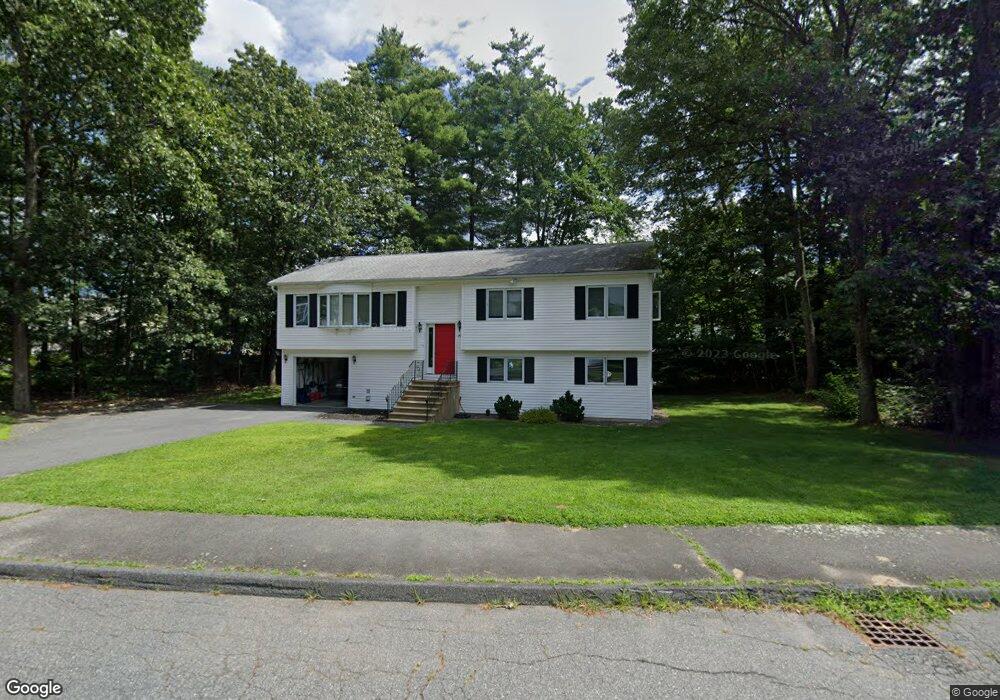
49 Daniels Rd Marlborough, MA 01752
Estimated Value: $635,972 - $828,000
3
Beds
3
Baths
1,394
Sq Ft
$502/Sq Ft
Est. Value
About This Home
This home is located at 49 Daniels Rd, Marlborough, MA 01752 and is currently estimated at $699,243, approximately $501 per square foot. 49 Daniels Rd is a home located in Middlesex County with nearby schools including Marlborough High School and Darnell School For Educational & Behavioral Service.
Ownership History
Date
Name
Owned For
Owner Type
Purchase Details
Closed on
Feb 24, 2017
Sold by
Lefrancois Donald R and Lefrancois Pamela M
Bought by
Pamela M Lefrancois T
Current Estimated Value
Purchase Details
Closed on
May 1, 1996
Sold by
Day John P and Day Lisa M
Bought by
Lefrancois Donald R and Lefrancois Pamela M
Home Financials for this Owner
Home Financials are based on the most recent Mortgage that was taken out on this home.
Original Mortgage
$133,000
Interest Rate
7.82%
Mortgage Type
Purchase Money Mortgage
Purchase Details
Closed on
Apr 19, 1991
Sold by
Carruth Capital Corp
Bought by
Day John P and Day Lisa M
Home Financials for this Owner
Home Financials are based on the most recent Mortgage that was taken out on this home.
Original Mortgage
$116,000
Interest Rate
9.4%
Mortgage Type
Purchase Money Mortgage
Create a Home Valuation Report for This Property
The Home Valuation Report is an in-depth analysis detailing your home's value as well as a comparison with similar homes in the area
Home Values in the Area
Average Home Value in this Area
Purchase History
| Date | Buyer | Sale Price | Title Company |
|---|---|---|---|
| Pamela M Lefrancois T | -- | -- | |
| Lefrancois Donald R | $168,000 | -- | |
| Day John P | $145,000 | -- |
Source: Public Records
Mortgage History
| Date | Status | Borrower | Loan Amount |
|---|---|---|---|
| Previous Owner | Day John P | $175,000 | |
| Previous Owner | Day John P | $133,000 | |
| Previous Owner | Day John P | $102,000 | |
| Previous Owner | Day John P | $116,000 |
Source: Public Records
Tax History Compared to Growth
Tax History
| Year | Tax Paid | Tax Assessment Tax Assessment Total Assessment is a certain percentage of the fair market value that is determined by local assessors to be the total taxable value of land and additions on the property. | Land | Improvement |
|---|---|---|---|---|
| 2025 | $5,701 | $578,200 | $228,800 | $349,400 |
| 2024 | $5,584 | $545,300 | $208,100 | $337,200 |
| 2023 | $5,921 | $513,100 | $179,300 | $333,800 |
| 2022 | $5,722 | $436,100 | $170,700 | $265,400 |
| 2021 | $5,487 | $397,600 | $142,300 | $255,300 |
| 2020 | $5,383 | $379,600 | $135,600 | $244,000 |
| 2019 | $5,250 | $373,100 | $132,900 | $240,200 |
| 2018 | $5,897 | $368,700 | $115,200 | $253,500 |
| 2017 | $5,445 | $355,400 | $112,900 | $242,500 |
| 2016 | $5,363 | $349,600 | $112,900 | $236,700 |
| 2015 | $4,726 | $299,900 | $115,000 | $184,900 |
Source: Public Records
Map
Nearby Homes
- 48 Jewell Rd Unit Lot 6
- 46 Jewell Rd Unit Lot 5
- 44 Jewell Rd Unit Lot 4
- 30 Jewell Rd Unit Lot 2
- 36 Jewell Rd Unit Lot 3
- 129 Fort Meadow Dr
- 18 Collins Dr
- 1 Rotherham Way Unit B
- 18 Amory Rd
- 57 Paquin Dr
- 114 Lodi Rd
- 656 Bolton St
- 377 Hosmer St
- 2 Blueberry Ln
- 8 Abigail Dr
- 132 Hosmer St
- 45 Raffaele Rd
- 0 Washington St
- 9 & 9A Abigail
- 243 Washington St