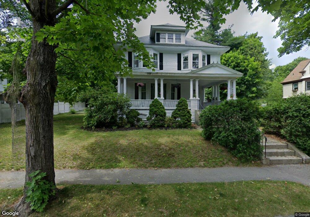
49 Davidson Rd Worcester, MA 01605
North Lincoln Street NeighborhoodEstimated Value: $656,624 - $731,000
8
Beds
3
Baths
3,475
Sq Ft
$201/Sq Ft
Est. Value
About This Home
This home is located at 49 Davidson Rd, Worcester, MA 01605 and is currently estimated at $697,156, approximately $200 per square foot. 49 Davidson Rd is a home located in Worcester County with nearby schools including Jacob Hiatt Magnet School, Chandler Magnet, and Wawecus Road School.
Create a Home Valuation Report for This Property
The Home Valuation Report is an in-depth analysis detailing your home's value as well as a comparison with similar homes in the area
Home Values in the Area
Average Home Value in this Area
Tax History
| Year | Tax Paid | Tax Assessment Tax Assessment Total Assessment is a certain percentage of the fair market value that is determined by local assessors to be the total taxable value of land and additions on the property. | Land | Improvement |
|---|---|---|---|---|
| 2025 | $7,437 | $563,800 | $119,100 | $444,700 |
| 2024 | $7,257 | $527,800 | $119,100 | $408,700 |
| 2023 | $7,024 | $489,800 | $103,600 | $386,200 |
| 2022 | $6,552 | $430,800 | $82,800 | $348,000 |
| 2021 | $6,494 | $398,900 | $66,300 | $332,600 |
| 2020 | $6,276 | $369,200 | $66,200 | $303,000 |
| 2019 | $6,307 | $350,400 | $59,800 | $290,600 |
| 2018 | $6,255 | $330,800 | $59,800 | $271,000 |
| 2017 | $6,254 | $325,400 | $59,800 | $265,600 |
| 2016 | $6,651 | $322,700 | $44,800 | $277,900 |
| 2015 | $6,477 | $322,700 | $44,800 | $277,900 |
| 2014 | $6,306 | $322,700 | $44,800 | $277,900 |
Source: Public Records
Map
Nearby Homes
- 30 Melrose St
- 45 Goldthwaite Rd
- 2 Selden St
- 15 Ericsson St
- 183 King Philip Rd
- 3205 Halcyon Dr Unit 3205
- 33 Denmark St
- 25 Mckinley Rd
- 17 Goucher Ave
- 58 Osceola Ave
- 27 Harlow St
- 55 Clark St
- 39 Whitmarsh Ave
- 323 Burncoat St
- 44 Boardman St
- 65 Paine St
- 331 Burncoat St
- 22 Huron Ave
- 78 Green Hill Pkwy
- 82 Green Hill Pkwy
Your Personal Tour Guide
Ask me questions while you tour the home.