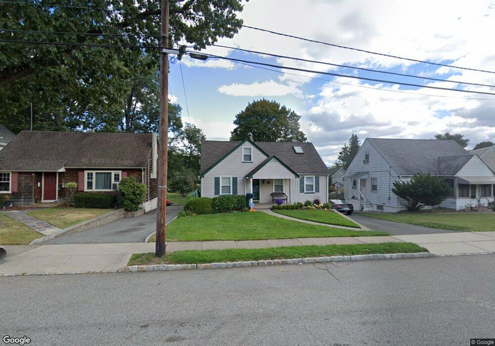
49 Depot St Verona, NJ 07044
Estimated Value: $604,165 - $729,000
--
Bed
--
Bath
1,501
Sq Ft
$444/Sq Ft
Est. Value
About This Home
This home is located at 49 Depot St, Verona, NJ 07044 and is currently estimated at $666,541, approximately $444 per square foot. 49 Depot St is a home located in Essex County with nearby schools including F.N. Brown School, Henry B. Whitehorne Middle School, and Verona High School.
Ownership History
Date
Name
Owned For
Owner Type
Purchase Details
Closed on
Jan 23, 2010
Sold by
Lampe James M and Lampe Deanne M
Bought by
Lampe James M and Lampe Deanne M
Current Estimated Value
Home Financials for this Owner
Home Financials are based on the most recent Mortgage that was taken out on this home.
Original Mortgage
$322,600
Outstanding Balance
$212,878
Interest Rate
5.05%
Mortgage Type
New Conventional
Estimated Equity
$453,663
Purchase Details
Closed on
Jan 29, 2004
Sold by
Santucci John
Bought by
Messineo Deanne
Home Financials for this Owner
Home Financials are based on the most recent Mortgage that was taken out on this home.
Original Mortgage
$324,000
Interest Rate
5.83%
Purchase Details
Closed on
Jun 30, 1997
Sold by
Papai Janos
Bought by
Santucci John and Santucci Dolores
Home Financials for this Owner
Home Financials are based on the most recent Mortgage that was taken out on this home.
Original Mortgage
$100,000
Interest Rate
7.86%
Create a Home Valuation Report for This Property
The Home Valuation Report is an in-depth analysis detailing your home's value as well as a comparison with similar homes in the area
Home Values in the Area
Average Home Value in this Area
Purchase History
| Date | Buyer | Sale Price | Title Company |
|---|---|---|---|
| Lampe James M | -- | Fiserv Lending Solutions | |
| Messineo Deanne | $360,000 | -- | |
| Santucci John | $162,000 | -- |
Source: Public Records
Mortgage History
| Date | Status | Borrower | Loan Amount |
|---|---|---|---|
| Open | Lampe James M | $322,600 | |
| Closed | Messineo Deanne | $324,000 | |
| Previous Owner | Santucci John | $100,000 |
Source: Public Records
Tax History Compared to Growth
Tax History
| Year | Tax Paid | Tax Assessment Tax Assessment Total Assessment is a certain percentage of the fair market value that is determined by local assessors to be the total taxable value of land and additions on the property. | Land | Improvement |
|---|---|---|---|---|
| 2025 | $10,971 | $358,300 | $179,700 | $178,600 |
| 2024 | $10,971 | $358,300 | $179,700 | $178,600 |
| 2022 | $10,724 | $358,300 | $179,700 | $178,600 |
| 2021 | $10,595 | $358,300 | $179,700 | $178,600 |
| 2020 | $10,262 | $358,300 | $179,700 | $178,600 |
| 2019 | $9,925 | $358,300 | $179,700 | $178,600 |
| 2018 | $10,232 | $323,900 | $182,000 | $141,900 |
| 2017 | $10,083 | $323,900 | $182,000 | $141,900 |
| 2016 | $9,921 | $323,900 | $182,000 | $141,900 |
Source: Public Records
Map
Nearby Homes
- 15 Parkhurst Place
- 16 W Lincoln St Unit 18
- 45 E Reid Place
- 54 Howard St
- 208 Linden Ave
- 82 Fells Rd
- 28 Ferndale Rd
- 206 Linden Ave
- 178 Grove Ave
- 8 Arbor Rd
- 29 Lynwood Rd
- 178 Grove
- 176 Woodland Ave
- 179 Grove Ave
- 45 Wedgewood Dr Unit 128
- 135 Mountain Ave
- 16 Verona Place
- 300 Claremont Ave Unit 2
- 20 Hatfield St
- 2 Linwood Terrace