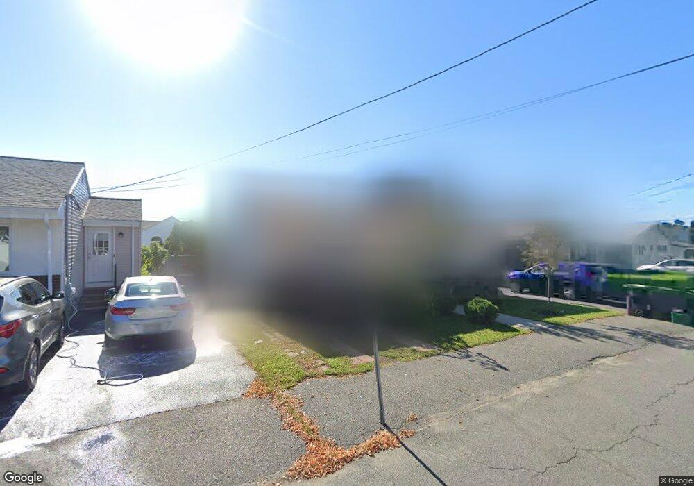
49 Derby Rd Revere, MA 02151
West Revere NeighborhoodEstimated Value: $734,000 - $784,000
4
Beds
3
Baths
2,075
Sq Ft
$366/Sq Ft
Est. Value
About This Home
This home is located at 49 Derby Rd, Revere, MA 02151 and is currently estimated at $759,779, approximately $366 per square foot. 49 Derby Rd is a home located in Suffolk County with nearby schools including A.C. Whelan Elementary School, Staff Sargent James J. Hill Elementary School, and Susan B. Anthony Middle School.
Ownership History
Date
Name
Owned For
Owner Type
Purchase Details
Closed on
Feb 23, 2009
Sold by
Jeglinski David G and Mers
Bought by
Bank Of New York
Current Estimated Value
Purchase Details
Closed on
Jul 2, 2001
Sold by
Diplatzi Joseph
Bought by
Jeglinski David G
Home Financials for this Owner
Home Financials are based on the most recent Mortgage that was taken out on this home.
Original Mortgage
$247,000
Interest Rate
7.14%
Mortgage Type
Purchase Money Mortgage
Purchase Details
Closed on
Dec 11, 1998
Sold by
Granato Frederick M
Bought by
Diplatzi Joseph and Diplatzi Laura M
Home Financials for this Owner
Home Financials are based on the most recent Mortgage that was taken out on this home.
Original Mortgage
$139,878
Interest Rate
6.8%
Mortgage Type
Purchase Money Mortgage
Create a Home Valuation Report for This Property
The Home Valuation Report is an in-depth analysis detailing your home's value as well as a comparison with similar homes in the area
Home Values in the Area
Average Home Value in this Area
Purchase History
| Date | Buyer | Sale Price | Title Company |
|---|---|---|---|
| Bank Of New York | $346,375 | -- | |
| Bank Of New York | $346,375 | -- | |
| Jeglinski David G | $260,000 | -- | |
| Jeglinski David G | $260,000 | -- | |
| Diplatzi Joseph | $152,000 | -- | |
| Diplatzi Joseph | $152,000 | -- |
Source: Public Records
Mortgage History
| Date | Status | Borrower | Loan Amount |
|---|---|---|---|
| Open | Diplatzi Joseph | $51,020 | |
| Previous Owner | Jeglinski David G | $247,000 | |
| Previous Owner | Diplatzi Joseph | $139,878 |
Source: Public Records
Tax History Compared to Growth
Tax History
| Year | Tax Paid | Tax Assessment Tax Assessment Total Assessment is a certain percentage of the fair market value that is determined by local assessors to be the total taxable value of land and additions on the property. | Land | Improvement |
|---|---|---|---|---|
| 2025 | $5,742 | $633,100 | $288,900 | $344,200 |
| 2024 | $5,635 | $618,600 | $272,800 | $345,800 |
| 2023 | $5,323 | $559,700 | $227,900 | $331,800 |
| 2022 | $5,341 | $513,600 | $216,600 | $297,000 |
| 2021 | $5,241 | $473,900 | $200,600 | $273,300 |
| 2020 | $5,210 | $462,700 | $200,600 | $262,100 |
| 2019 | $4,960 | $409,600 | $182,900 | $226,700 |
| 2018 | $4,380 | $338,000 | $165,300 | $172,700 |
| 2017 | $4,282 | $306,100 | $144,400 | $161,700 |
| 2016 | $3,936 | $272,400 | $131,600 | $140,800 |
| 2015 | $4,032 | $272,400 | $131,600 | $140,800 |
Source: Public Records
Map
Nearby Homes