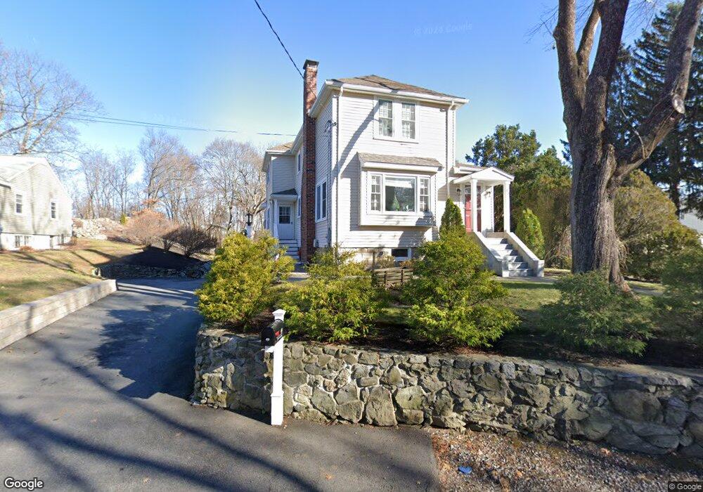
49 Dunster Ln Winchester, MA 01890
West Side NeighborhoodEstimated Value: $1,205,000 - $1,519,000
3
Beds
3
Baths
2,662
Sq Ft
$516/Sq Ft
Est. Value
About This Home
This home is located at 49 Dunster Ln, Winchester, MA 01890 and is currently estimated at $1,374,852, approximately $516 per square foot. 49 Dunster Ln is a home located in Middlesex County with nearby schools including Vinson-Owen Elementary School, McCall Middle School, and Winchester High School.
Ownership History
Date
Name
Owned For
Owner Type
Purchase Details
Closed on
Oct 17, 2024
Sold by
Connors Gary R and Connors Laura C
Bought by
Connors Rt and Connors
Current Estimated Value
Purchase Details
Closed on
Oct 3, 1991
Sold by
Scheer Barry S and Scheer Judith M
Bought by
Connors Gary R and Connors Laura C
Create a Home Valuation Report for This Property
The Home Valuation Report is an in-depth analysis detailing your home's value as well as a comparison with similar homes in the area
Home Values in the Area
Average Home Value in this Area
Purchase History
| Date | Buyer | Sale Price | Title Company |
|---|---|---|---|
| Connors Rt | -- | None Available | |
| Connors Rt | -- | None Available | |
| Connors Gary R | $164,900 | -- |
Source: Public Records
Mortgage History
| Date | Status | Borrower | Loan Amount |
|---|---|---|---|
| Previous Owner | Connors Gary R | $224,000 | |
| Previous Owner | Connors Gary R | $220,000 | |
| Previous Owner | Connors Gary R | $138,000 |
Source: Public Records
Tax History Compared to Growth
Tax History
| Year | Tax Paid | Tax Assessment Tax Assessment Total Assessment is a certain percentage of the fair market value that is determined by local assessors to be the total taxable value of land and additions on the property. | Land | Improvement |
|---|---|---|---|---|
| 2025 | $126 | $1,132,700 | $665,400 | $467,300 |
| 2024 | $12,437 | $1,097,700 | $665,400 | $432,300 |
| 2023 | $12,149 | $1,029,600 | $610,000 | $419,600 |
| 2022 | $10,720 | $856,900 | $462,100 | $394,800 |
| 2021 | $10,876 | $847,700 | $452,900 | $394,800 |
| 2020 | $10,503 | $847,700 | $452,900 | $394,800 |
| 2019 | $9,370 | $773,700 | $378,900 | $394,800 |
| 2018 | $5,210 | $744,600 | $360,400 | $384,200 |
| 2017 | $8,657 | $705,000 | $342,000 | $363,000 |
| 2016 | $8,112 | $694,500 | $342,000 | $352,500 |
| 2015 | $7,774 | $640,400 | $309,600 | $330,800 |
| 2014 | $6,962 | $549,900 | $268,000 | $281,900 |
Source: Public Records
Map
Nearby Homes
- 45 Dunster Ln
- 41 Dunster Ln
- 40 Dunster Ln
- 40 Dunster Ln
- 42 Dunster Ln Unit 1
- 40 Dunster Ln Unit single fami
- 40 Dunster Ln Unit 1
- 42 Dunster Ln
- 42 Dunster Ln
- 42 Dunster Ln Unit 42
- 50 Dunster Ln
- 55 Dunster Ln
- 36 Dunster Ln
- 33 Dunster Ln
- 56 Dunster Ln
- 29 Dunster Ln
- 59 Dunster Ln
- 44 Dunster Ln
- 64 Dunster Ln
- 63 Dunster Ln