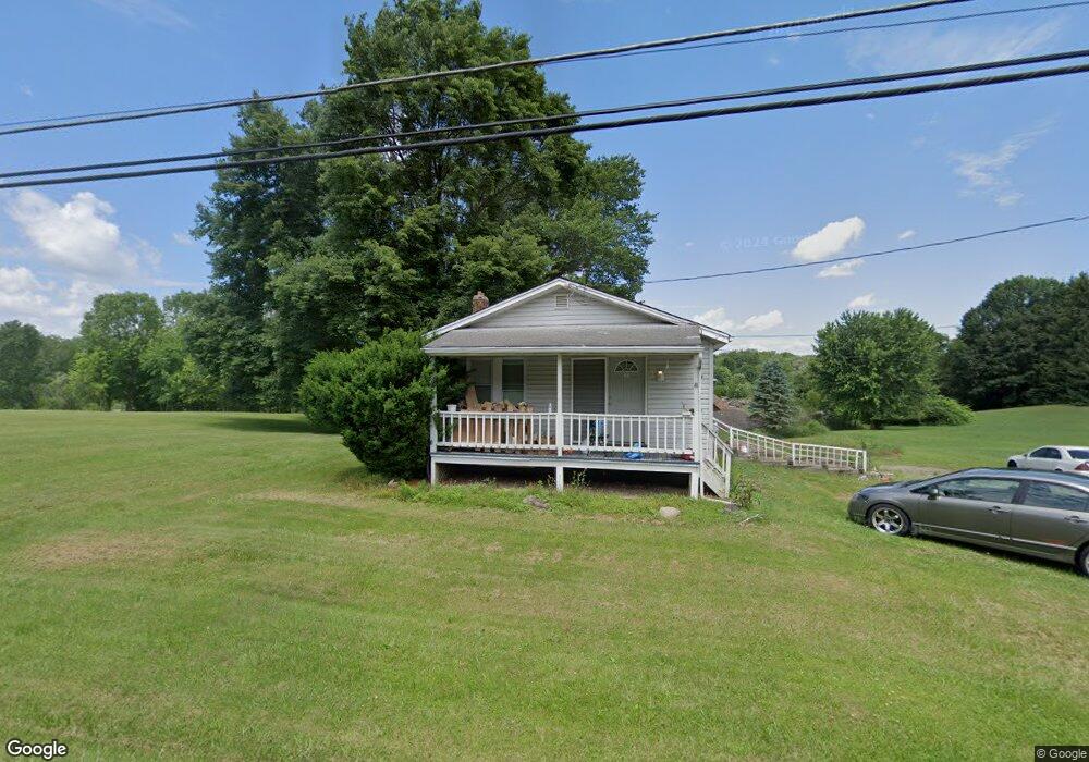
49 E Comet Rd Clinton, OH 44216
Estimated Value: $107,000 - $198,000
3
Beds
2
Baths
768
Sq Ft
$202/Sq Ft
Est. Value
About This Home
This home is located at 49 E Comet Rd, Clinton, OH 44216 and is currently estimated at $154,781, approximately $201 per square foot. 49 E Comet Rd is a home located in Summit County with nearby schools including Greenwood Elementary School, Green Intermediate Elementary School, and Green Primary School.
Ownership History
Date
Name
Owned For
Owner Type
Purchase Details
Closed on
Nov 1, 2011
Sold by
Putman Properties Inc
Bought by
Gintling Ed H
Current Estimated Value
Purchase Details
Closed on
Jul 18, 1997
Sold by
Hubele Leroy N
Bought by
Maynard Raymond A
Home Financials for this Owner
Home Financials are based on the most recent Mortgage that was taken out on this home.
Original Mortgage
$48,000
Interest Rate
7.94%
Mortgage Type
New Conventional
Create a Home Valuation Report for This Property
The Home Valuation Report is an in-depth analysis detailing your home's value as well as a comparison with similar homes in the area
Purchase History
| Date | Buyer | Sale Price | Title Company |
|---|---|---|---|
| Gintling Ed H | $12,000 | Attorney | |
| Maynard Raymond A | $50,000 | -- |
Source: Public Records
Mortgage History
| Date | Status | Borrower | Loan Amount |
|---|---|---|---|
| Previous Owner | Maynard Raymond A | $48,000 |
Source: Public Records
Tax History
| Year | Tax Paid | Tax Assessment Tax Assessment Total Assessment is a certain percentage of the fair market value that is determined by local assessors to be the total taxable value of land and additions on the property. | Land | Improvement |
|---|---|---|---|---|
| 2024 | $2,092 | $43,572 | $16,202 | $27,370 |
| 2023 | $1,726 | $43,572 | $16,202 | $27,370 |
| 2022 | $1,726 | $31,574 | $11,739 | $19,835 |
| 2021 | $1,586 | $31,574 | $11,739 | $19,835 |
| 2020 | $1,338 | $31,580 | $11,740 | $19,840 |
| 2019 | $651 | $25,440 | $8,940 | $16,500 |
| 2018 | $1,369 | $25,440 | $8,940 | $16,500 |
| 2017 | $1,301 | $25,440 | $8,940 | $16,500 |
| 2016 | $1,301 | $22,690 | $8,940 | $13,750 |
| 2015 | $1,301 | $22,690 | $8,940 | $13,750 |
| 2014 | $1,293 | $22,690 | $8,940 | $13,750 |
| 2013 | $1,032 | $17,910 | $8,940 | $8,970 |
Source: Public Records
Map
Nearby Homes
- 402 Yager Rd
- 0 W Comet Rd Unit 5079117
- 8259 Bricker Rd NW
- 7428 Shadyview Ave NW
- 5626 Arlington Rd Unit 5628
- 0 Babst Ave NW
- 9466 Beryl St NW
- 5838 Harter Home Dr
- 7651 Brownwood Ave NW
- 6235 Manchester Rd
- 0 S Arlington Rd Unit 4494606
- 9754 Agate St NW
- 8524 Manchester Ave NW
- 8529 Morrilton Cir NW
- 752 Leeman Dr
- 8069 Orchardway St NW
- 4885 Will Dr
- 6090 Manchester Rd Unit 6096
- 781 Leeman Dr
- 8690 Elmfield St NW
Your Personal Tour Guide
Ask me questions while you tour the home.