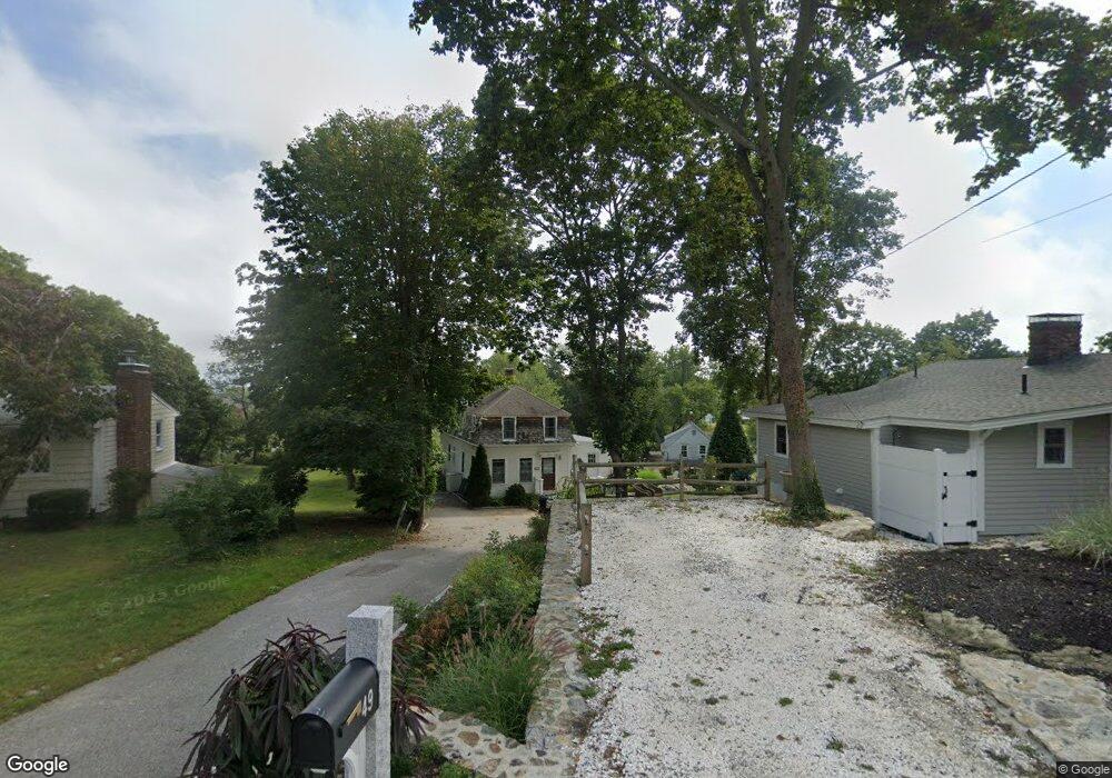
49 Elm Ct Cohasset, MA 02025
Estimated Value: $766,000 - $1,033,000
2
Beds
3
Baths
1,944
Sq Ft
$483/Sq Ft
Est. Value
About This Home
This home is located at 49 Elm Ct, Cohasset, MA 02025 and is currently estimated at $938,659, approximately $482 per square foot. 49 Elm Ct is a home located in Norfolk County with nearby schools including Joseph Osgood School, Deer Hill School, and Cohasset Middle School.
Ownership History
Date
Name
Owned For
Owner Type
Purchase Details
Closed on
Sep 30, 1998
Sold by
Brothers Mack P and Brothers Robyn F
Bought by
Quigley Michael T and Quigley Ann C
Current Estimated Value
Home Financials for this Owner
Home Financials are based on the most recent Mortgage that was taken out on this home.
Original Mortgage
$195,000
Outstanding Balance
$42,657
Interest Rate
6.89%
Mortgage Type
Purchase Money Mortgage
Estimated Equity
$896,002
Purchase Details
Closed on
Nov 30, 1994
Sold by
Mackey Lucille C
Bought by
Brothers Mack P and Brothers Robyn F
Home Financials for this Owner
Home Financials are based on the most recent Mortgage that was taken out on this home.
Original Mortgage
$120,650
Interest Rate
8.81%
Mortgage Type
Purchase Money Mortgage
Create a Home Valuation Report for This Property
The Home Valuation Report is an in-depth analysis detailing your home's value as well as a comparison with similar homes in the area
Home Values in the Area
Average Home Value in this Area
Purchase History
| Date | Buyer | Sale Price | Title Company |
|---|---|---|---|
| Quigley Michael T | $210,000 | -- | |
| Quigley Michael T | $210,000 | -- | |
| Brothers Mack P | $127,000 | -- | |
| Brothers Mack P | $127,000 | -- |
Source: Public Records
Mortgage History
| Date | Status | Borrower | Loan Amount |
|---|---|---|---|
| Open | Brothers Mack P | $195,000 | |
| Closed | Brothers Mack P | $195,000 | |
| Previous Owner | Brothers Mack P | $120,650 |
Source: Public Records
Tax History
| Year | Tax Paid | Tax Assessment Tax Assessment Total Assessment is a certain percentage of the fair market value that is determined by local assessors to be the total taxable value of land and additions on the property. | Land | Improvement |
|---|---|---|---|---|
| 2025 | $9,184 | $793,100 | $477,300 | $315,800 |
| 2024 | $8,424 | $692,200 | $381,900 | $310,300 |
| 2023 | $8,157 | $691,300 | $381,700 | $309,600 |
| 2022 | $8,317 | $662,200 | $381,700 | $280,500 |
| 2021 | $8,344 | $639,900 | $381,700 | $258,200 |
| 2020 | $8,300 | $639,900 | $381,700 | $258,200 |
| 2019 | $6,627 | $513,700 | $255,500 | $258,200 |
| 2018 | $6,570 | $513,700 | $255,500 | $258,200 |
| 2017 | $5,838 | $447,000 | $243,200 | $203,800 |
| 2016 | $5,757 | $447,000 | $243,200 | $203,800 |
| 2015 | $5,681 | $447,000 | $243,200 | $203,800 |
| 2014 | $5,605 | $447,000 | $243,200 | $203,800 |
Source: Public Records
Map
Nearby Homes
- 56 Margin St
- 124 Elm St Unit 308
- 87 Elm St Unit 216
- 87 Elm St Unit 319
- 84 Elm St
- 104 Howard Gleason Rd
- 100 Howard Gleason Rd
- 128 Elm St Unit 211
- 128 Elm St Unit 210
- 66 Summer St
- 135 Beach St
- 25 Mohawk Way
- 3 Brook St Unit A
- 98 Black Horse Ln
- 147 S Main St
- 171 S Main St
- 68 Black Horse Ln
- 212 S Main St
- 70 Black Horse Ln
- 96 Black Horse Ln
- 34 Stockbridge St
- 47 Elm Ct
- 51 Elm Ct
- 45 Elm Ct
- 43 Elm Ct
- 36 Stockbridge St
- 36 Stockbridge St Unit 1
- 38A Stockbridge St
- 28 Stockbridge St
- 48 Elm Ct
- 39 Elm Ct
- 38 Stockbridge St
- 20 Stockbridge St
- 44 Elm Ct
- 40 Stockbridge St
- 16 Stockbridge St
- 35 Elm Ct
- 31 Stockbridge St
- 31 Stockbridge St
- 35 Stockbridge St
Your Personal Tour Guide
Ask me questions while you tour the home.