49 Farrell Rd Newtown, CT 06470
Estimated Value: $545,000 - $1,162,000
4
Beds
5
Baths
3,809
Sq Ft
$245/Sq Ft
Est. Value
About This Home
This home is located at 49 Farrell Rd, Newtown, CT 06470 and is currently estimated at $932,299, approximately $244 per square foot. 49 Farrell Rd is a home located in Fairfield County with nearby schools including Hawley Elementary School, Reed Intermediate School, and Newtown Middle School.
Ownership History
Date
Name
Owned For
Owner Type
Purchase Details
Closed on
Jul 8, 1993
Sold by
Anderson Gordon
Bought by
Burns Kenneth and Burns Kimberly
Current Estimated Value
Create a Home Valuation Report for This Property
The Home Valuation Report is an in-depth analysis detailing your home's value as well as a comparison with similar homes in the area
Home Values in the Area
Average Home Value in this Area
Purchase History
| Date | Buyer | Sale Price | Title Company |
|---|---|---|---|
| Burns Kenneth | $43,000 | -- | |
| Burns Kenneth | $43,000 | -- |
Source: Public Records
Mortgage History
| Date | Status | Borrower | Loan Amount |
|---|---|---|---|
| Closed | Burns Kenneth | $300,000 | |
| Closed | Burns Kenneth | $150,000 | |
| Closed | Burns Kenneth | $20,000 |
Source: Public Records
Tax History
| Year | Tax Paid | Tax Assessment Tax Assessment Total Assessment is a certain percentage of the fair market value that is determined by local assessors to be the total taxable value of land and additions on the property. | Land | Improvement |
|---|---|---|---|---|
| 2025 | $13,930 | $484,680 | $92,430 | $392,250 |
| 2024 | $13,072 | $484,680 | $92,430 | $392,250 |
| 2023 | $12,691 | $483,640 | $92,430 | $391,210 |
| 2022 | $12,505 | $360,700 | $84,560 | $276,140 |
| 2021 | $12,498 | $360,700 | $84,560 | $276,140 |
| 2020 | $12,538 | $360,700 | $84,560 | $276,140 |
| 2019 | $12,542 | $360,700 | $84,560 | $276,140 |
| 2018 | $12,350 | $360,700 | $84,560 | $276,140 |
| 2017 | $13,260 | $391,510 | $88,410 | $303,100 |
| 2016 | $13,155 | $391,510 | $88,410 | $303,100 |
| 2015 | $12,947 | $391,510 | $88,410 | $303,100 |
| 2014 | $13,041 | $391,510 | $88,410 | $303,100 |
Source: Public Records
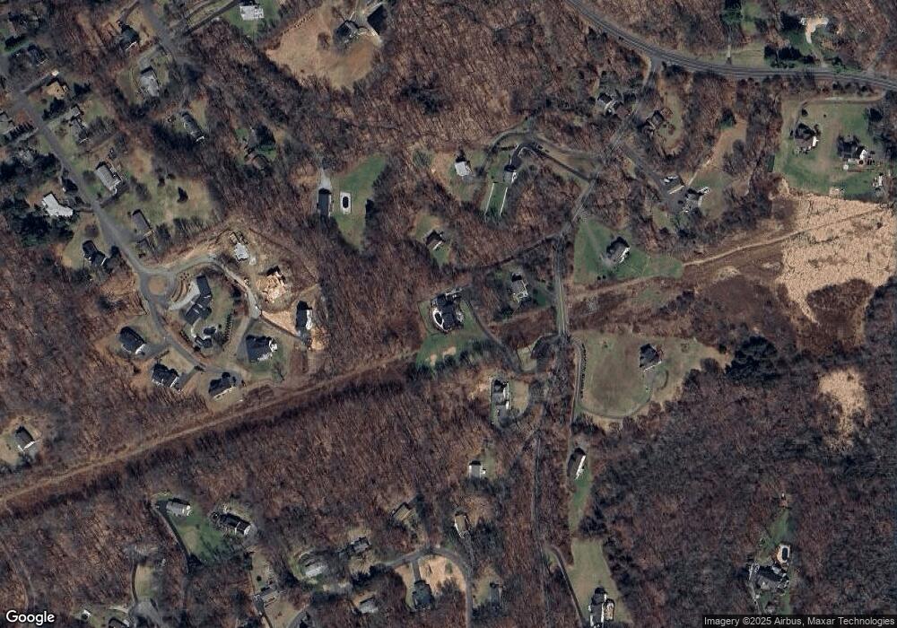
Map
Nearby Homes
- 23 Farrell Rd
- 16 Farrell Rd
- 23 Woods Ln Unit 23
- 603 Brookside Ct Unit 603
- 433 Brookside Ct Unit 433
- 54 Redwood Dr
- 149 Mount Pleasant Rd
- 79 Suzie Dr
- 32 Redwood Dr
- 27 Obtuse Rd S
- 47 Copper Square Dr
- 183 Mount Pleasant Rd
- 75 Copper Square Dr
- 2 Autumn's Way
- 6 Westwood Terrace
- 5 Woodland Hills Terrace
- 112 A Stony Hill Rd
- 23 Sunset Hill Rd
- 10 Briarwood Ln
- 23 Taunton Ln
Your Personal Tour Guide
Ask me questions while you tour the home.