Estimated Value: $1,720,000 - $2,152,000
3
Beds
4
Baths
1,856
Sq Ft
$1,065/Sq Ft
Est. Value
About This Home
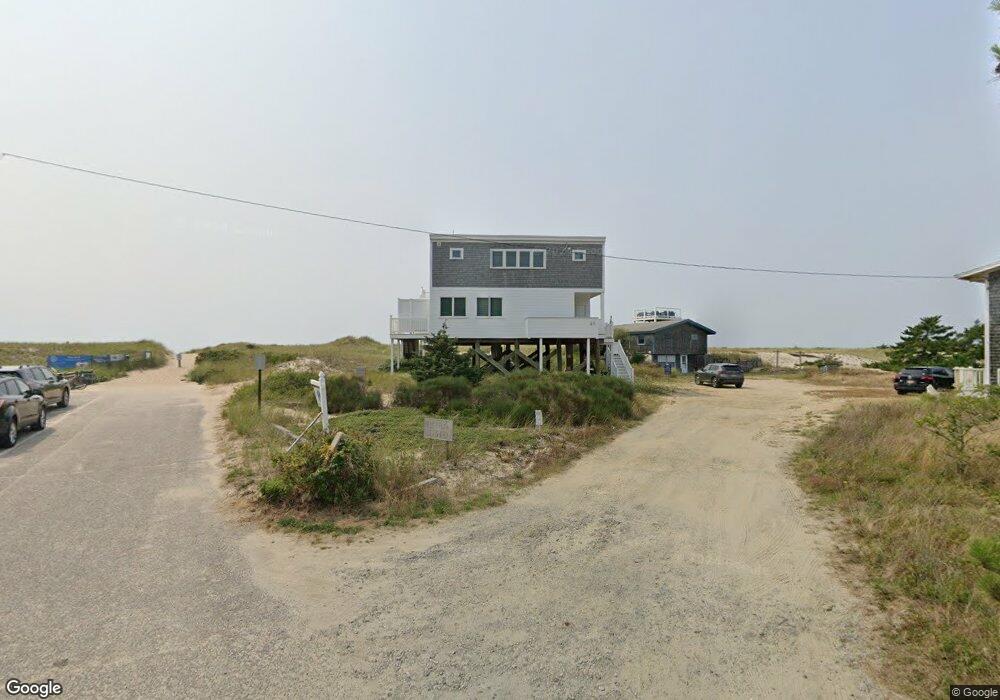
This home is located at 49 Fisher Rd, Truro, MA 2666 and is currently estimated at $1,977,462, approximately $1,065 per square foot. 49 Fisher Rd is a home located in Barnstable County.
Ownership History
Date
Name
Owned For
Owner Type
Purchase Details
Closed on
Nov 20, 2024
Sold by
Ambrose Douglas W and Ambrose
Bought by
Ambrose Properties Llc
Current Estimated Value
Purchase Details
Closed on
Jan 28, 2020
Sold by
Ambrose Marcia S
Bought by
Ambrose Douglas W
Purchase Details
Closed on
Aug 3, 2007
Sold by
Ambrose Ft and Ambrose
Bought by
Ambrose Douglas W and Ambrose Marica S
Purchase Details
Closed on
Apr 9, 2007
Sold by
Ambrose Ft and Ambrose
Bought by
Ambrose Douglas W and Ambrose Marcia S
Create a Home Valuation Report for This Property
The Home Valuation Report is an in-depth analysis detailing your home's value as well as a comparison with similar homes in the area
Home Values in the Area
Average Home Value in this Area
Purchase History
| Date | Buyer | Sale Price | Title Company |
|---|---|---|---|
| Ambrose Properties Llc | -- | None Available | |
| Ambrose Properties Llc | -- | None Available | |
| Ambrose Douglas W | -- | None Available | |
| Ambrose Douglas W | -- | None Available | |
| Ambrose Douglas W | -- | -- | |
| Ambrose Douglas W | -- | -- | |
| Ambrose Douglas W | -- | -- | |
| Ambrose Douglas W | -- | -- |
Source: Public Records
Tax History Compared to Growth
Tax History
| Year | Tax Paid | Tax Assessment Tax Assessment Total Assessment is a certain percentage of the fair market value that is determined by local assessors to be the total taxable value of land and additions on the property. | Land | Improvement |
|---|---|---|---|---|
| 2025 | $10,075 | $1,630,200 | $897,400 | $732,800 |
| 2024 | $9,564 | $1,596,600 | $888,500 | $708,100 |
| 2023 | $8,879 | $1,357,600 | $772,500 | $585,100 |
| 2022 | $5,630 | $728,300 | $665,900 | $62,400 |
| 2021 | $6,018 | $815,400 | $665,900 | $149,500 |
| 2020 | $5,934 | $809,500 | $659,300 | $150,200 |
| 2019 | $5,968 | $801,100 | $659,300 | $141,800 |
| 2018 | $5,265 | $714,400 | $586,000 | $128,400 |
| 2017 | $4,936 | $707,200 | $586,000 | $121,200 |
| 2016 | $4,745 | $700,900 | $580,300 | $120,600 |
| 2015 | $4,936 | $744,500 | $628,500 | $116,000 |
Source: Public Records
Map
Nearby Homes
- 5 Great Hills Rd
- 9 Towhee Ln
- 43 Old County Rd
- 9 Priest Rd
- 32 Depot Rd
- 2 Meetinghouse Rd Unit 2
- 52 Corn Hill Rd
- 25 Resolution Rd
- 5 Depot Rd
- 110 Prince Valley Rd
- 34 Truro Center Rd
- 4 Resolution Rd
- 9 Kinnikinnick Rd
- 208 Route 6
- 3 N Union Field Rd
- 6 Long Nook Ln
- 2 Aldrich Rd
- 2 Amanda Ln
- 5 Sylvan Ln
- 19 Avery Way