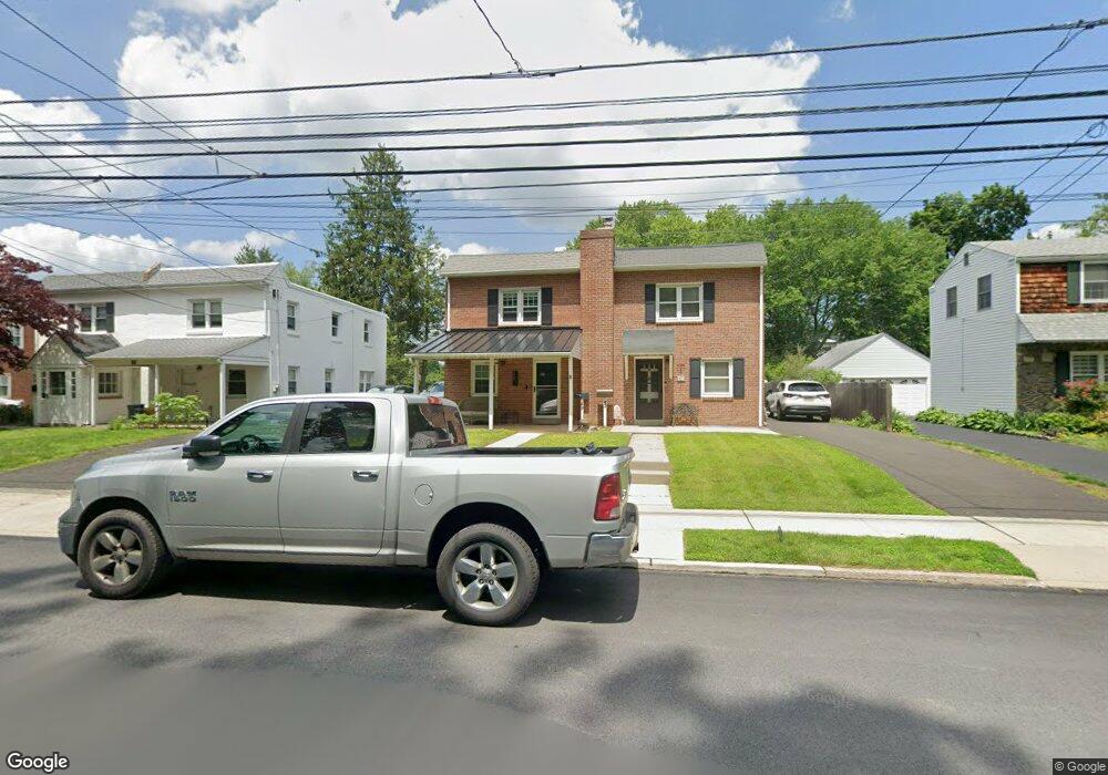
49 Gordon Rd Glenside, PA 19038
Estimated Value: $371,000 - $420,615
3
Beds
1
Bath
1,116
Sq Ft
$353/Sq Ft
Est. Value
About This Home
This home is located at 49 Gordon Rd, Glenside, PA 19038 and is currently estimated at $393,404, approximately $352 per square foot. 49 Gordon Rd is a home located in Montgomery County with nearby schools including Erdenheim Elementary School, Enfield Elementary School, and Springfield Township Middle School.
Ownership History
Date
Name
Owned For
Owner Type
Purchase Details
Closed on
Oct 31, 2016
Sold by
Sweeney Shawn P and Sweeney Paula M
Bought by
Collins Michale A and Sweeney Angela Rose
Current Estimated Value
Home Financials for this Owner
Home Financials are based on the most recent Mortgage that was taken out on this home.
Original Mortgage
$184,000
Outstanding Balance
$147,720
Interest Rate
3.42%
Mortgage Type
New Conventional
Estimated Equity
$245,684
Purchase Details
Closed on
Apr 13, 2009
Sold by
Sweeney Shawn P and Sweeney Paula M C
Bought by
Sweeney Paula M and Sweeney Shawn P
Home Financials for this Owner
Home Financials are based on the most recent Mortgage that was taken out on this home.
Original Mortgage
$168,700
Interest Rate
4.93%
Create a Home Valuation Report for This Property
The Home Valuation Report is an in-depth analysis detailing your home's value as well as a comparison with similar homes in the area
Home Values in the Area
Average Home Value in this Area
Purchase History
| Date | Buyer | Sale Price | Title Company |
|---|---|---|---|
| Collins Michale A | $230,000 | First American Abstract | |
| Sweeney Paula M | -- | None Available |
Source: Public Records
Mortgage History
| Date | Status | Borrower | Loan Amount |
|---|---|---|---|
| Open | Collins Michale A | $184,000 | |
| Previous Owner | Sweeney Paula M | $168,700 |
Source: Public Records
Tax History
| Year | Tax Paid | Tax Assessment Tax Assessment Total Assessment is a certain percentage of the fair market value that is determined by local assessors to be the total taxable value of land and additions on the property. | Land | Improvement |
|---|---|---|---|---|
| 2025 | $5,252 | $111,500 | $37,200 | $74,300 |
| 2024 | $5,252 | $111,500 | $37,200 | $74,300 |
| 2023 | $5,069 | $111,500 | $37,200 | $74,300 |
| 2022 | $4,924 | $111,500 | $37,200 | $74,300 |
| 2021 | $4,795 | $111,500 | $37,200 | $74,300 |
| 2020 | $4,683 | $111,500 | $37,200 | $74,300 |
| 2019 | $4,611 | $111,500 | $37,200 | $74,300 |
Source: Public Records
Map
Nearby Homes
- 32 Windsor Rd
- 9402 Meadowbrook Ave
- 118 E Hillcrest Ave
- 99 Rorer St
- 111 Chesney Ln
- 216 Heatherwood Rd
- 116 E Chestnut Hill Ave
- 124 E Chestnut Hill Ave
- 28 Grove Ave
- 8408 Prospect Ave
- 30 Summit St
- 305 Glenway Rd
- 8610 Evergreen Place Unit 201
- 205 E Evergreen Ave
- 310 E Evergreen Ave
- 4134 Jackson Dr
- 8609 Trumbauer Dr Unit L57
- 34 Hilltop Rd
- 300 Preston Rd
- 506 Spring Ln
Your Personal Tour Guide
Ask me questions while you tour the home.